


Type de site:
Rock-Shelters
Lieu de location: Risco de La Zorrera
Ville: El Raso
Commune: Candeleda (Ávila)
Région: Castilla y León
Pays: Espagne
Site Web: http://www.turismocastillayleon.com/es/servicios/oficinas-turismo/oficina-turismo-candeleda
Environnement naturel:
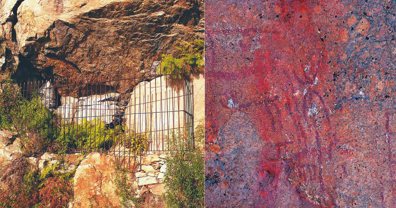
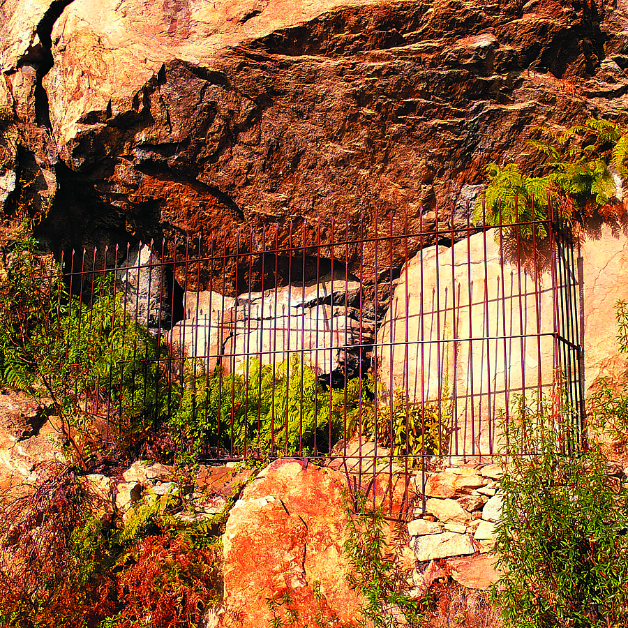
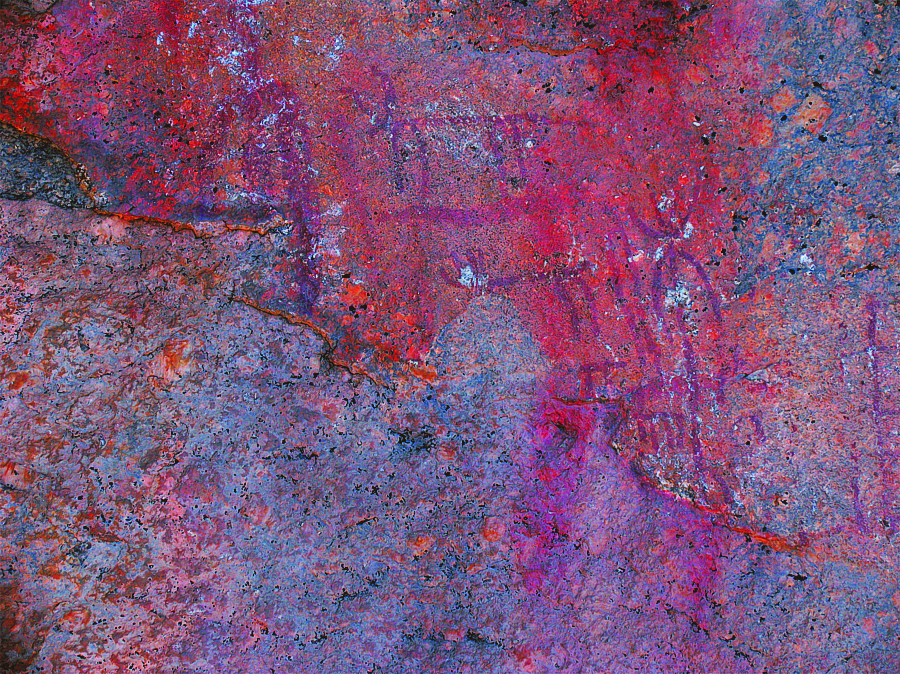
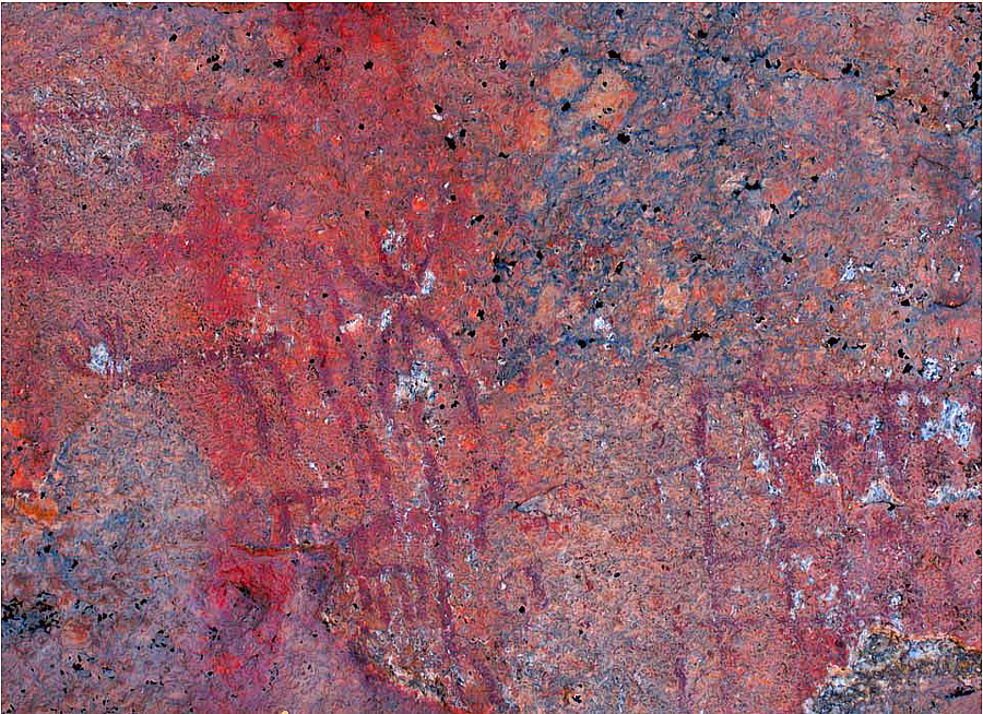
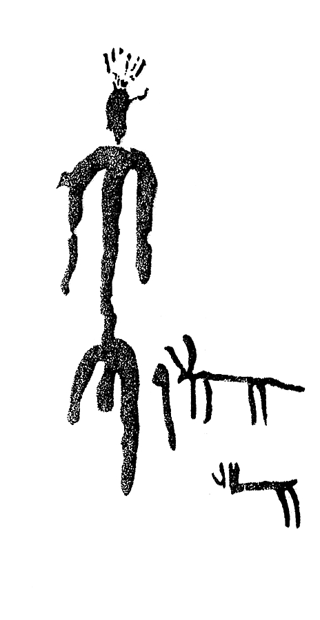
The site is in the mountains of the Central System, on the edge of Sierra de Gredos. In the southern foothills of the sierra, the paintings are in the centre of a large granite block.
Eléments archéologiques du site:
Schematic art is one of the least common prehistoric phenomena in the province of Ávila. Only three sites are known: Peña Mingovela in Ojos Albos, Canto de Cuervo and La Atalaya in Muñopepe, and Risco de la Zorrera at the foot of Pico Almanzor on the southern slopes of Sierra de Gredos.