


Type de site:
Rocky outcrops
Lieu de location: Peña del Cuervo and La Atalaya
Ville: Muñopepe
Commune: Muñopepe (Ávila)
Région: Castilla y León
Pays: Espagne
Site Web: http://www.munopepe.es/municipio/
Environnement naturel:
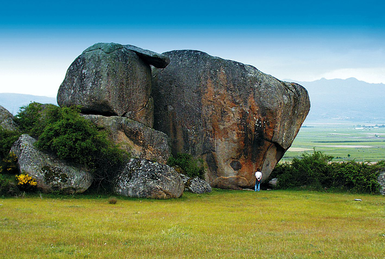
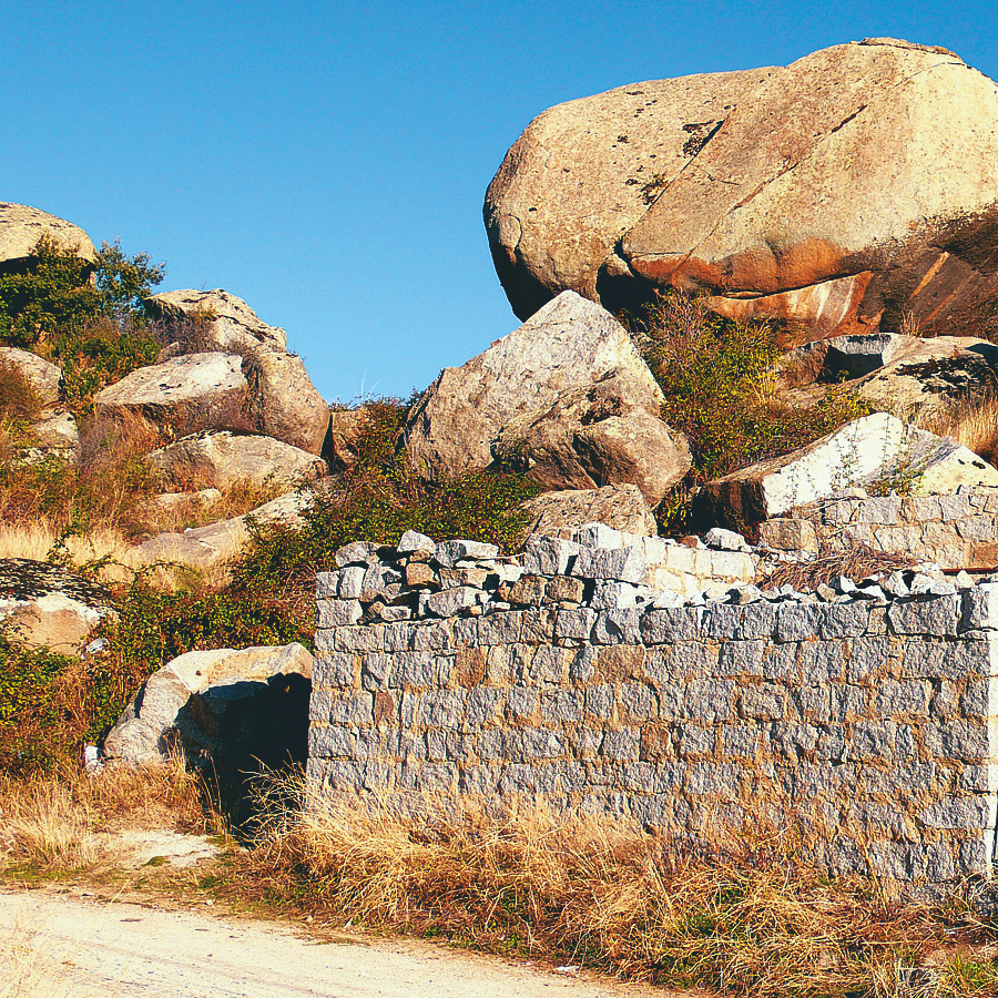
The foothills of the Sierra de Ávila lie to the north of Muñopepe, parallel to the Amblés Valley. It is an area crossed by numerous intermittent streams draining directly to the River Adaja. The erosion of these streams has caused this edge of the Sierra to be divided into small tongues of land overlooking the Adaja Valley. The sites at Muñopepe are on one of those tongues of land.
Eléments archéologiques du site:
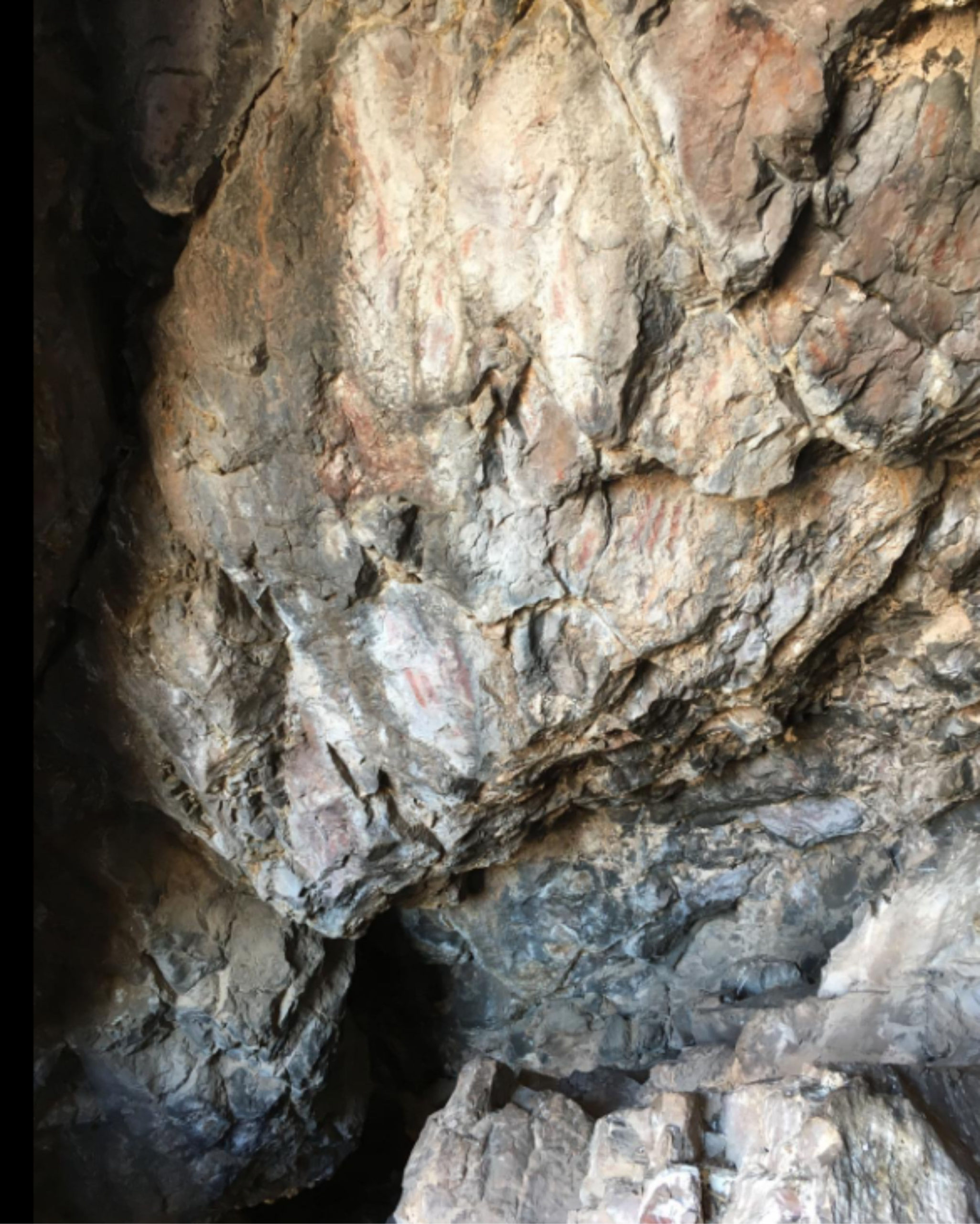
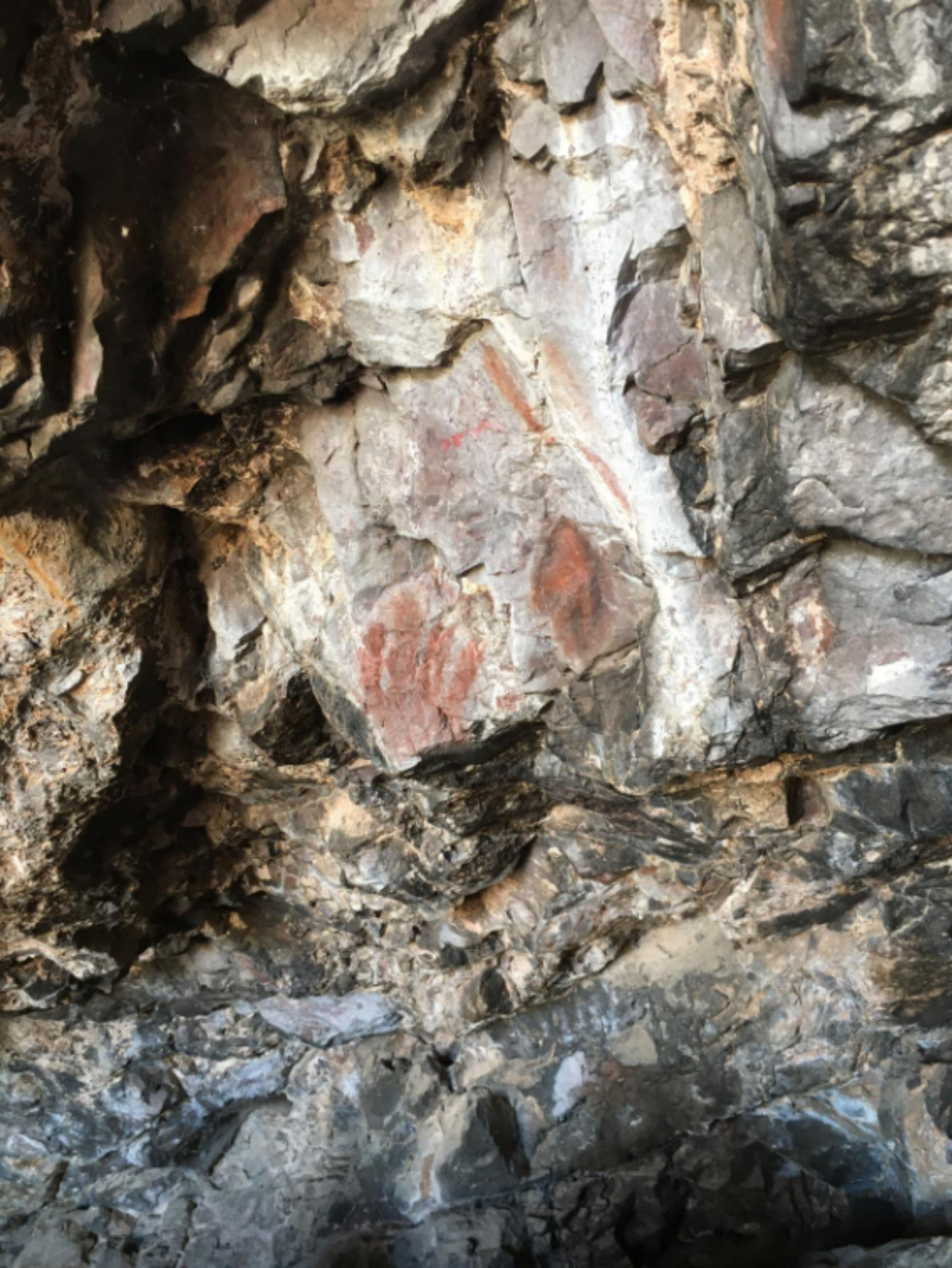
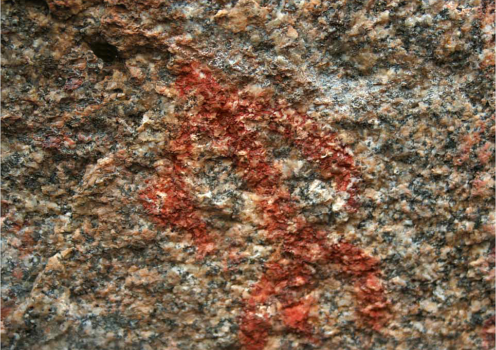
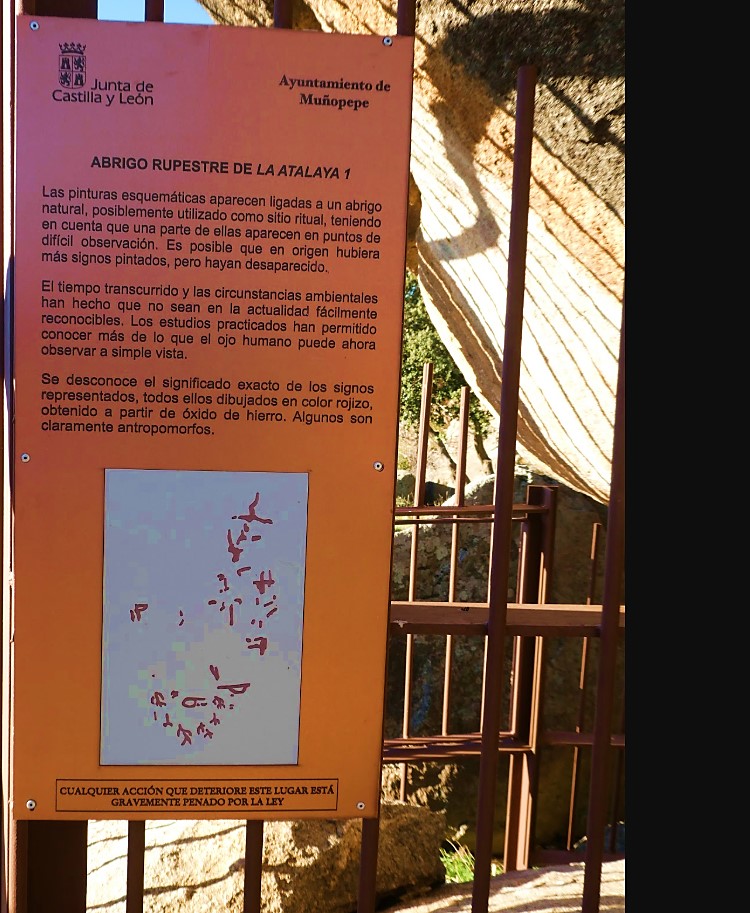
Schematic art is one of the least common prehistoric phenomena in the province of Ávila. Only three sites are known: Peña Mingovela in Ojos Albos, Canto de Cuervo and La Atalaya in Muñopepe, and Risco de la Zorrera at the foot of Pico Almanzor on the southern slopes of Sierra de Gredos.