ARCHAEOLOGICAL AREA OF A CAEIRA


  •  Google Maps:
    42.441990, -8.661462


Tipo de sitio:
Petroglyphs / Archaeological Area

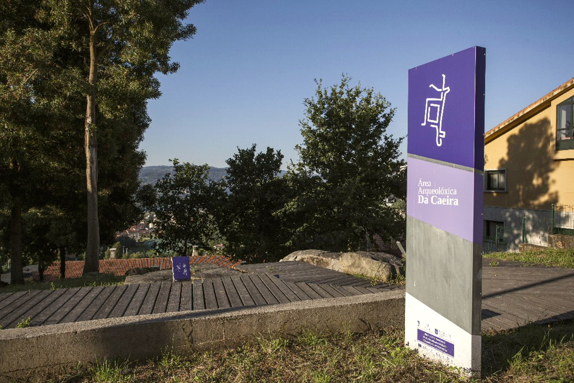
Lugar de localización: Mouth of the River Lérez, in the Ria of Pontevedra
Localidad: A Caeira / Boa Vista / Montecelo
Municipio: Poio (Pontevedra)
Región: Galicia
País: España
Página Web: https://terrasdepontevedra.org/es/arte-rupestre/centro-arqueologico-de-la-caeira/

Entorno Natural:

The geography of the surroundings of the Archaeological Area is conditioned by the Cordal de Castrove to the north, a lines of hills which slope steeply towards the coast, on the northern shore of the Ria de Pontevedra. Therefore, except on the coastline, the relief is dominated by steep hillsides with numerous outcrops of granite.


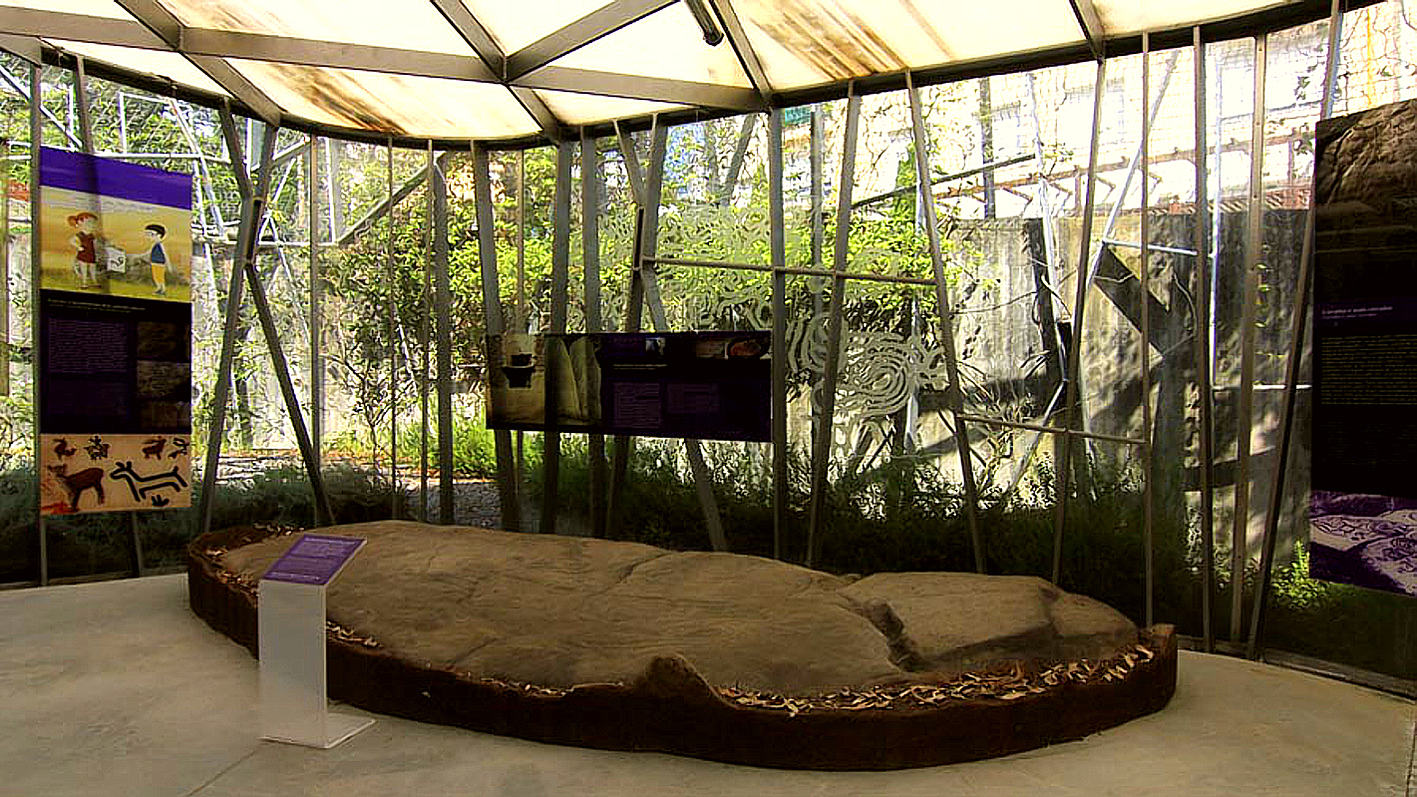
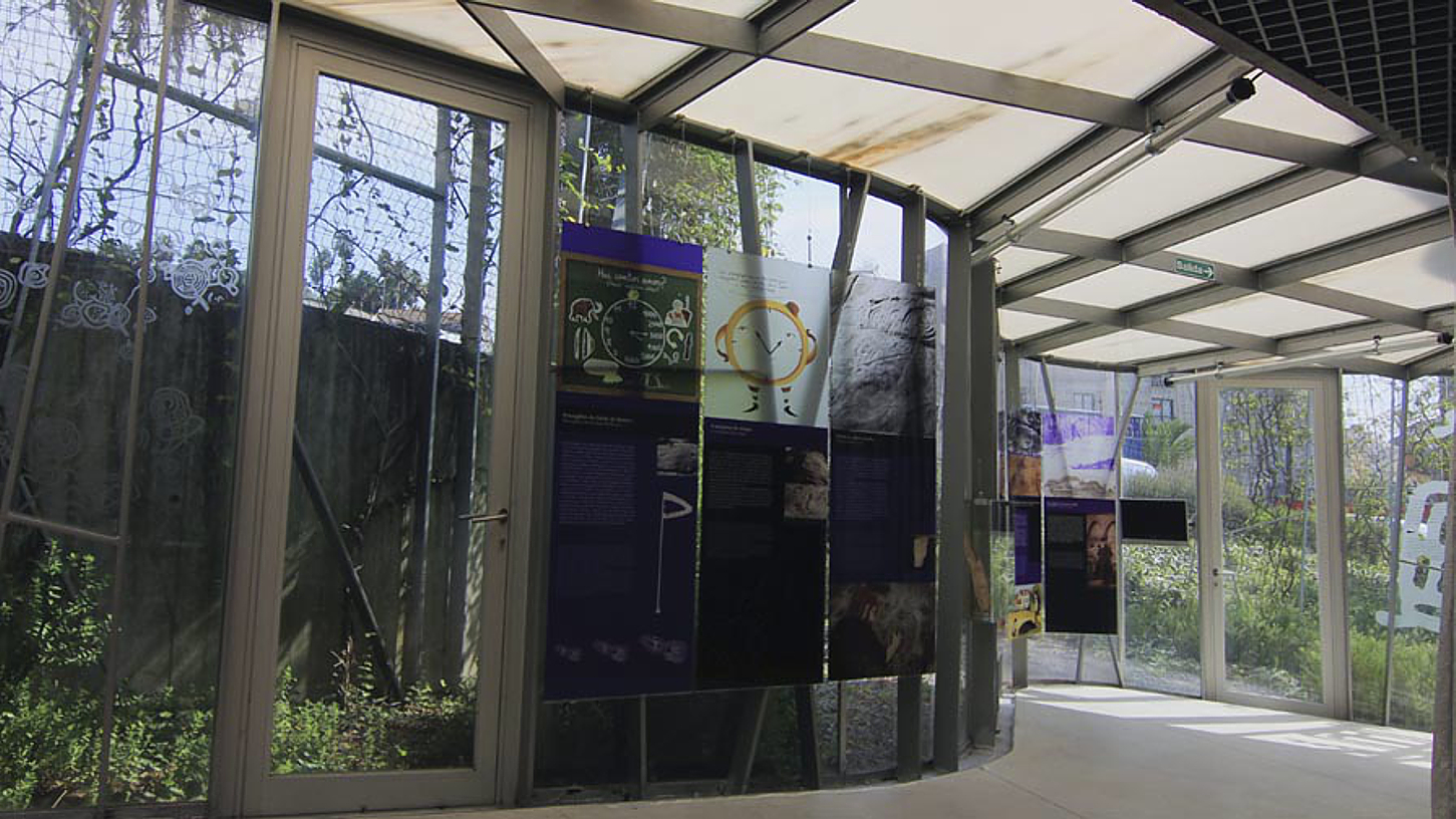
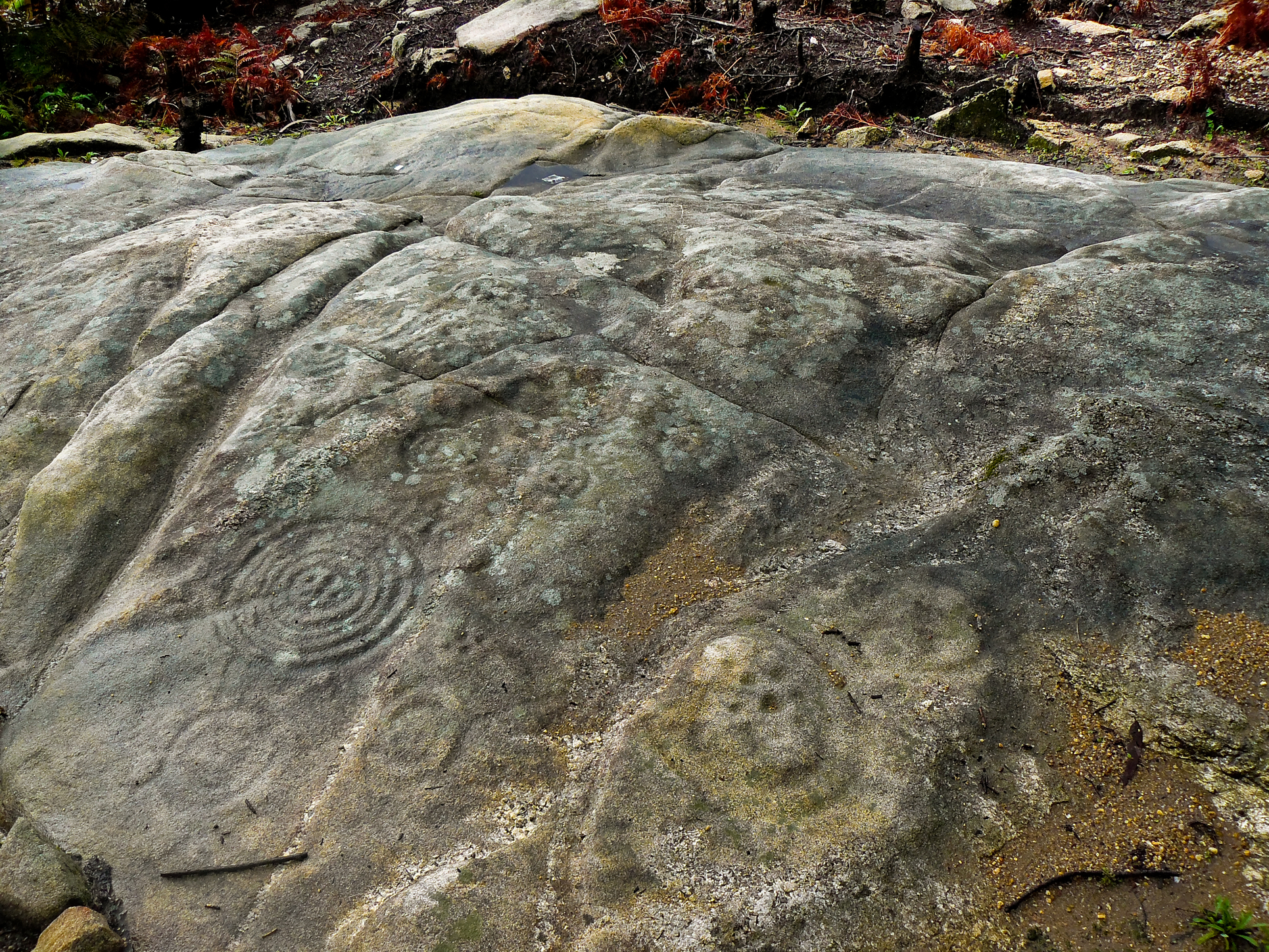
Evidencias arqueológicas del sitio:

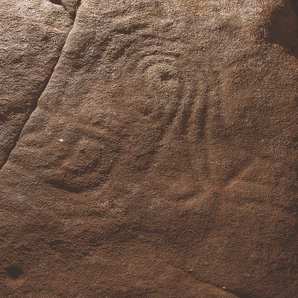
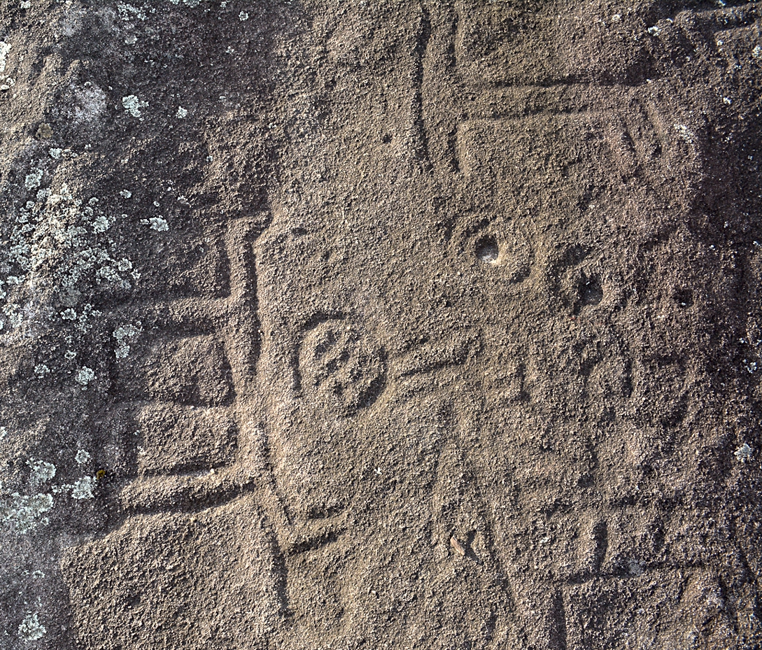
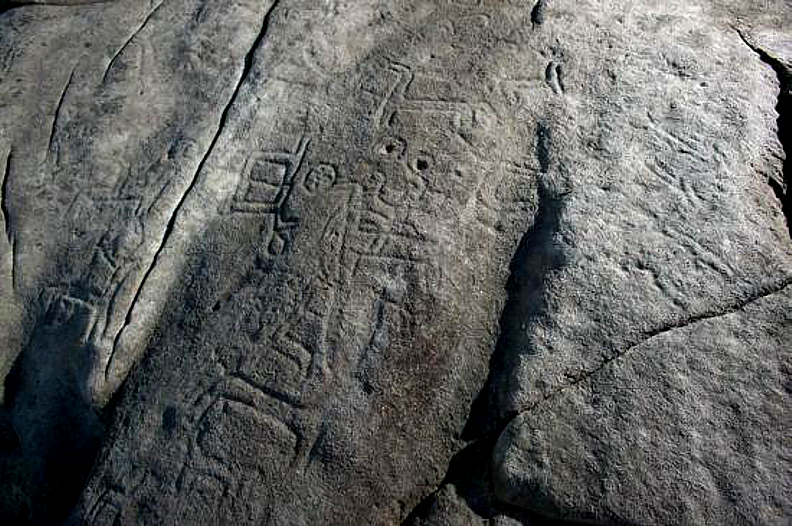
The area of the Rias Baixas is characterised by the wealth and diversity of its prehistoric sites, and among these the open-air rock engravings are the most important and emblematic archaeological evidence.


+info
Horarios de apertura:

15 JUNE – 15 SEPTEMBER. Monday to Saturday from 08:00 to 14:00 and  17:30 to 21:00 h. Closed on Sundays. SEPTEMBER 16 – JUNE 14. Monday to Friday from 08:00 to 14:30h. Closed on Saturdays and Sundays. THE ARCHAEOLOGICAL AREA IS OF FREE ACCESS EVERY DAY.


Acceso y reservas:

Guided visits last about 1 hour and should be booked in advance. See: www.concellodepoio.es


Destinos culturales cercanos:

Monastery of San Xoán de Poio. Historical town of Combarro (on the coast). Route of the Mills and Historical centre of Pontevedra.


Destinos naturales cercanos:

The beaches are the main natural attraction in the municipality of Poio.


Alojamientos (Web turística):
https://www.turismo.gal/planifica-a-tua-viaxe/onde-aloxarse?langId=en_US

Restaurantes (Web turística):
https://www.turismo.gal/planifica-a-tua-viaxe/onde-comer?langId=en_US