


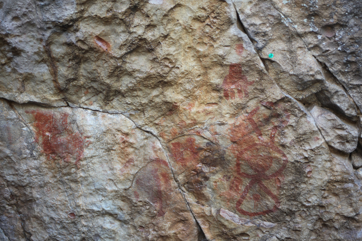
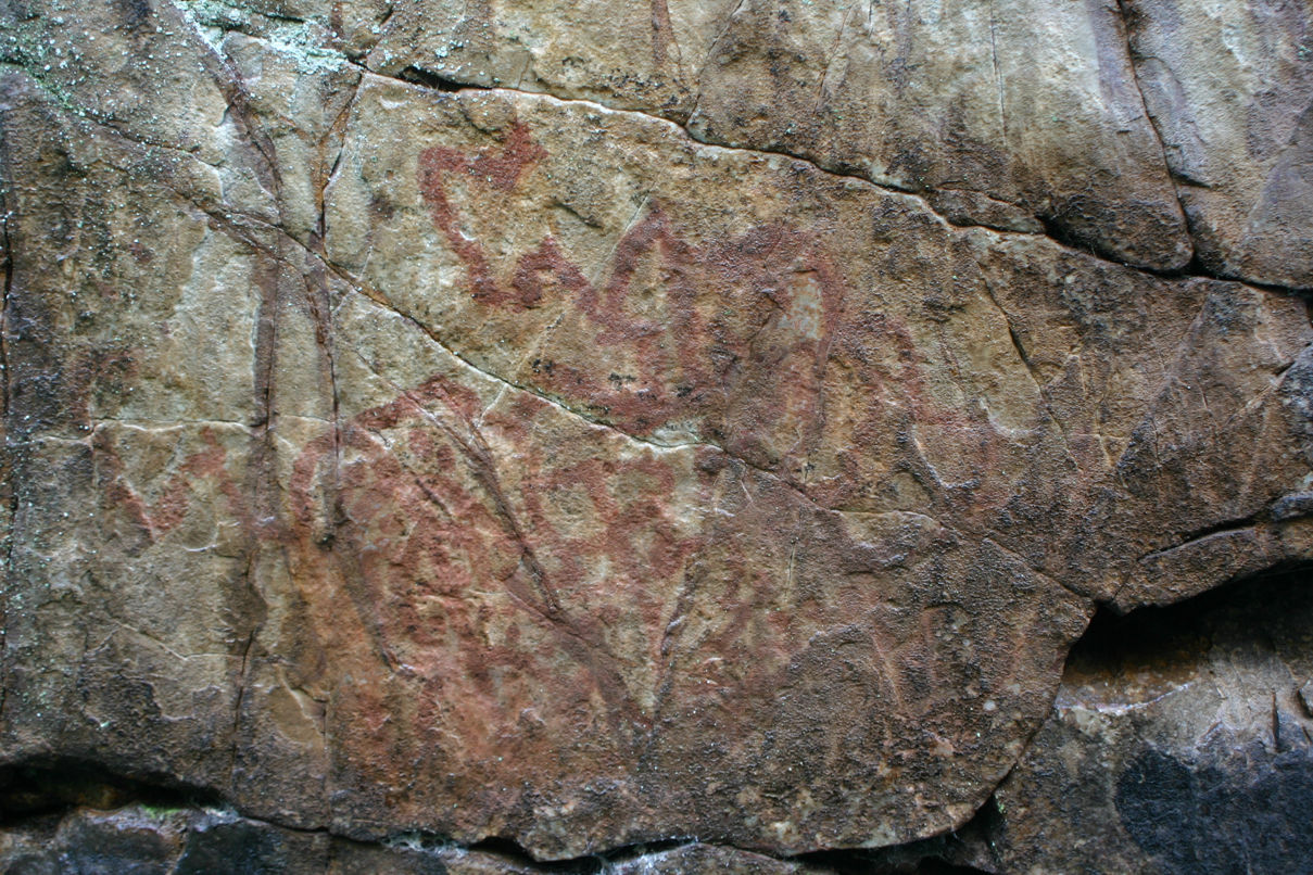
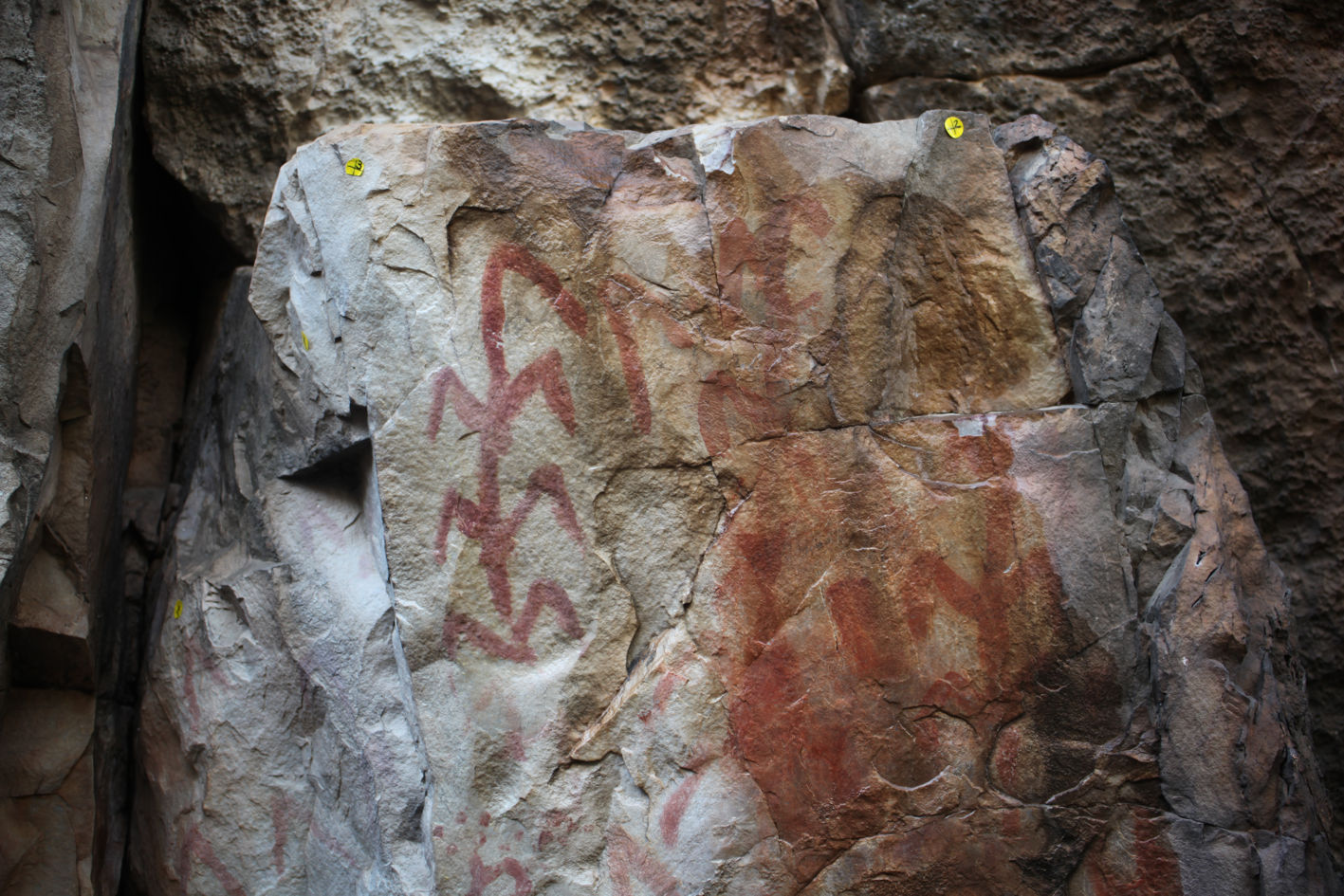
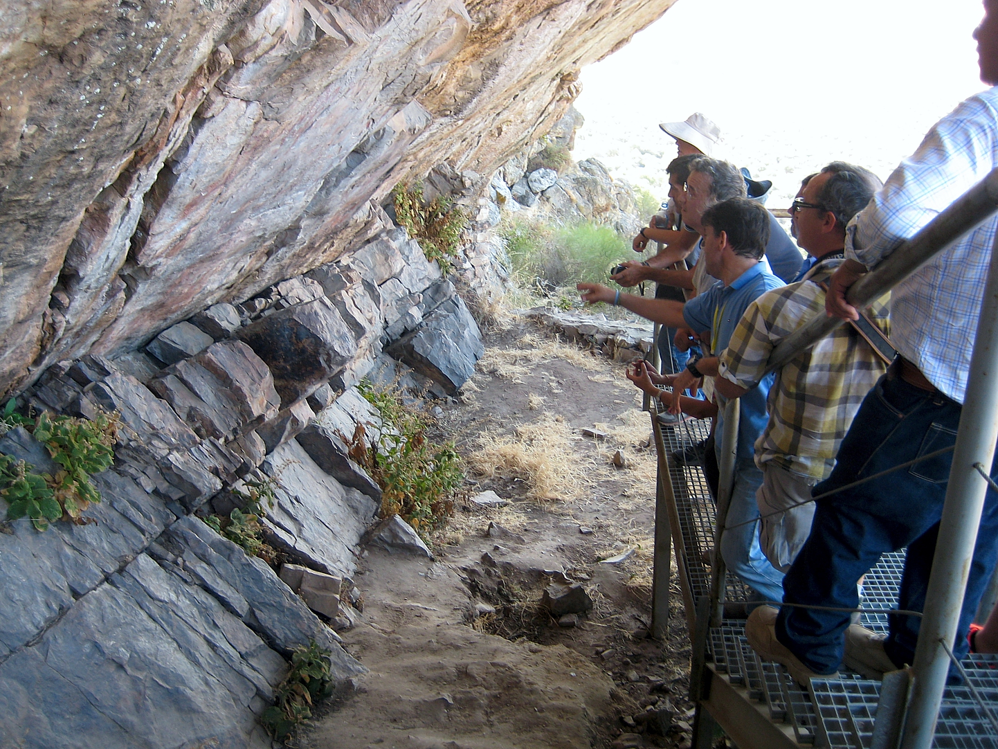
Tipo de sitio:
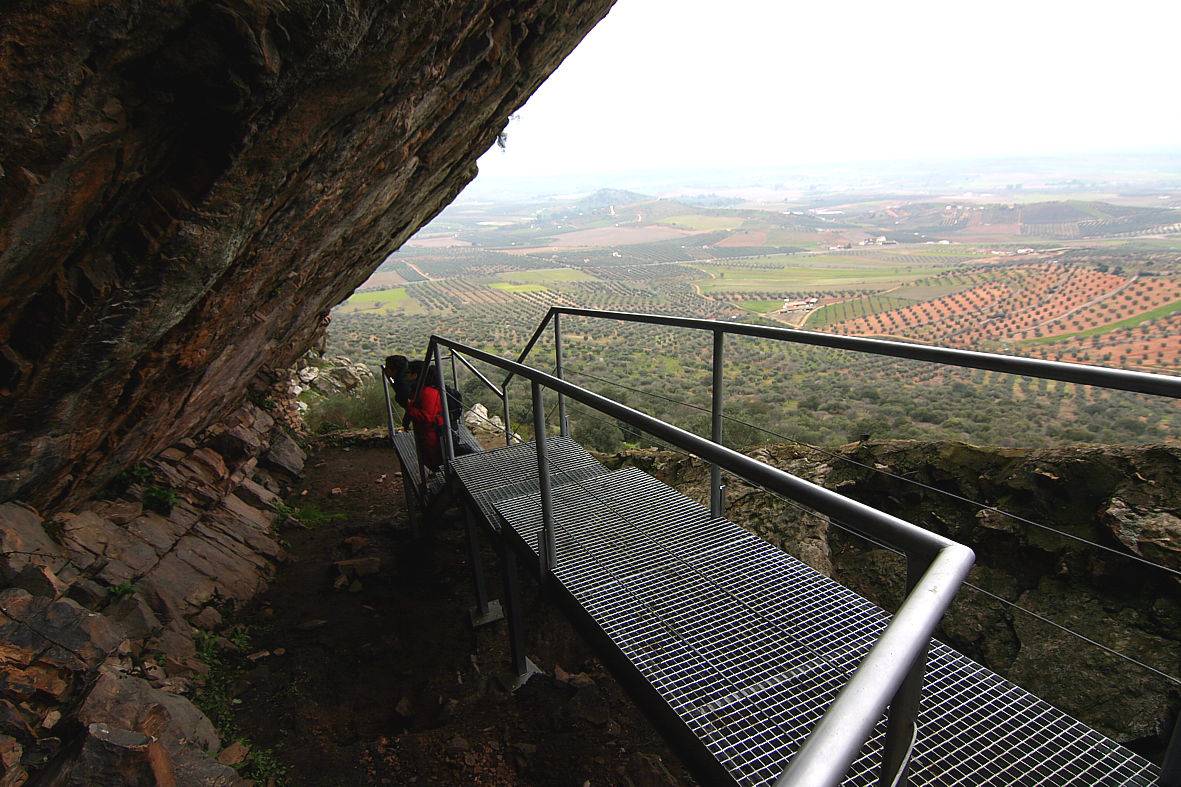
Rock-Shelters
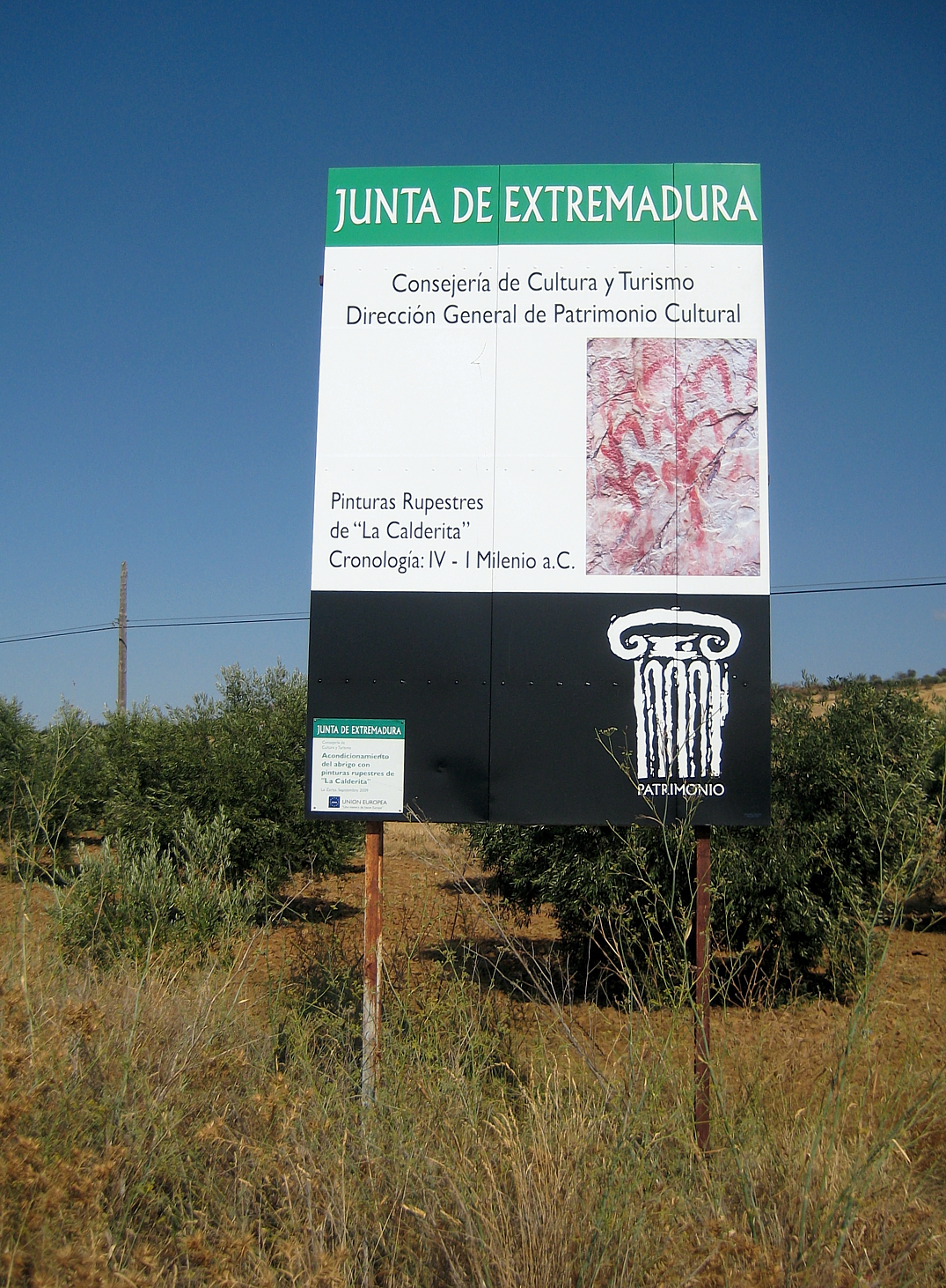
Localidad: La Zarza
Municipio: La Zarza (Badajoz)
Región: Extremadura
País: España
Página Web: https://lazarza.net/portfolio-items/abrigo-arte-rupestre-de-la-calderita/
Entorno Natural:
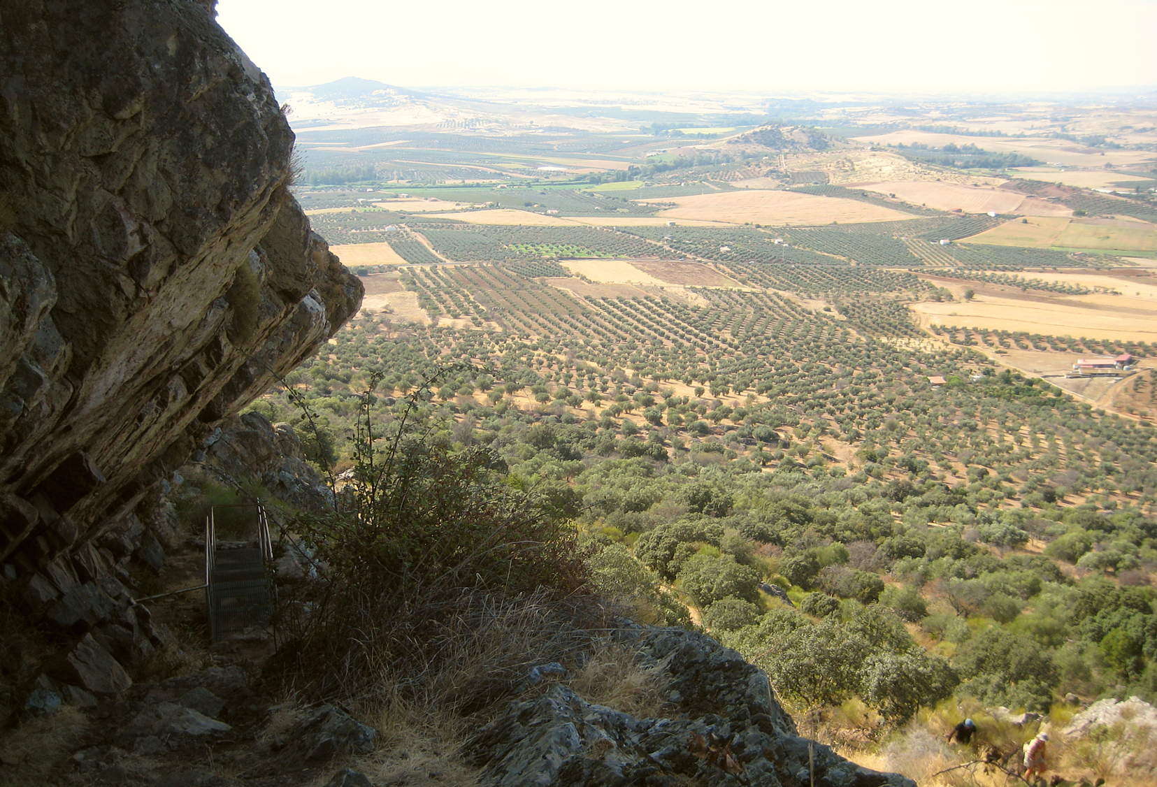
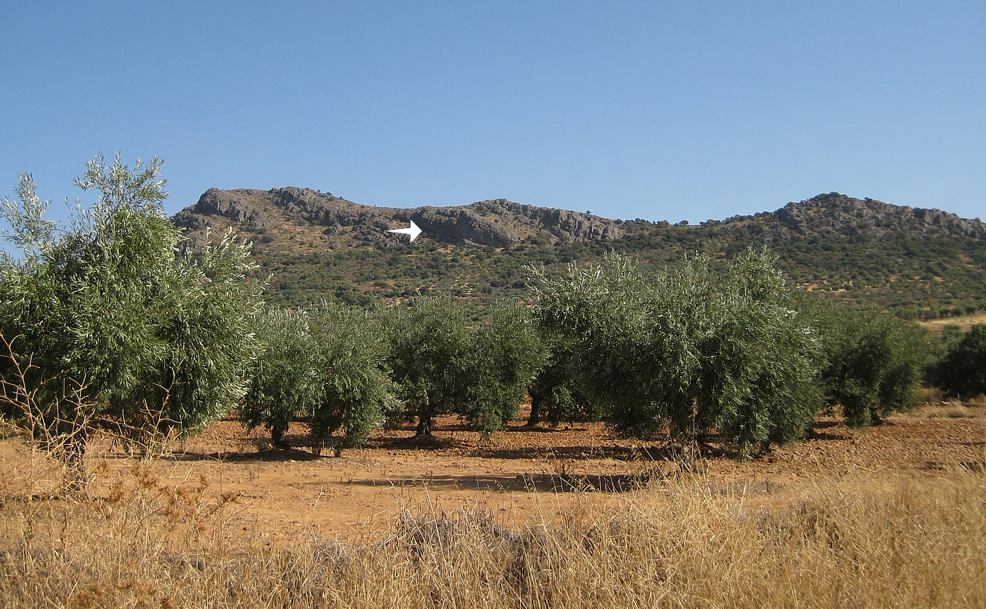
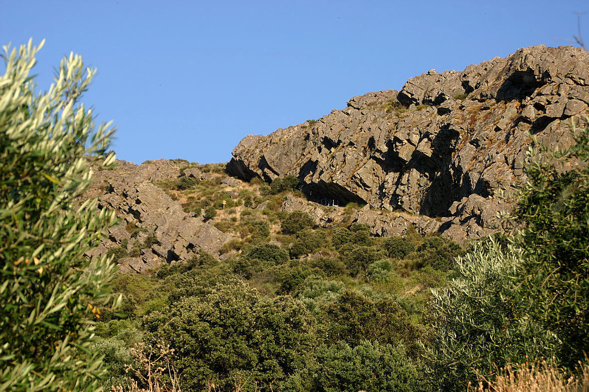
La Calderita is at the north-eastern end of the Sierra de Peñas Blancas, a small mountain range on a Hercynian alignment (SSE-NNW), which on its southern slopes marks the final section of the short courses of the rivers Palomillas and San Juan, tributaries on the right bank of the River Matachel which in turn flows into the River Guadiana. On its northern flank it forms, together with the Sierra de San Juan Bueno on the other side, the small Osa Valley, where the ancient Trail of Los Barreros runs almost parallel to the course of the stream of La Calera. This is an excellent corridor to reach the flat fertile land of the Guadiana basin from the more irregular and hilly areas to the south of Mérida.This trail initially crosses olive tree plantations in the lower areas until, as it increases in altitude and steepness, these give way to uncultivated land dotted with wild olive trees, kermes oak, almond trees and a wide range of shrubs, as well as some endemic plants of great beauty, such as Narcissus cantabricus and the storksbill Erodium mouretii.
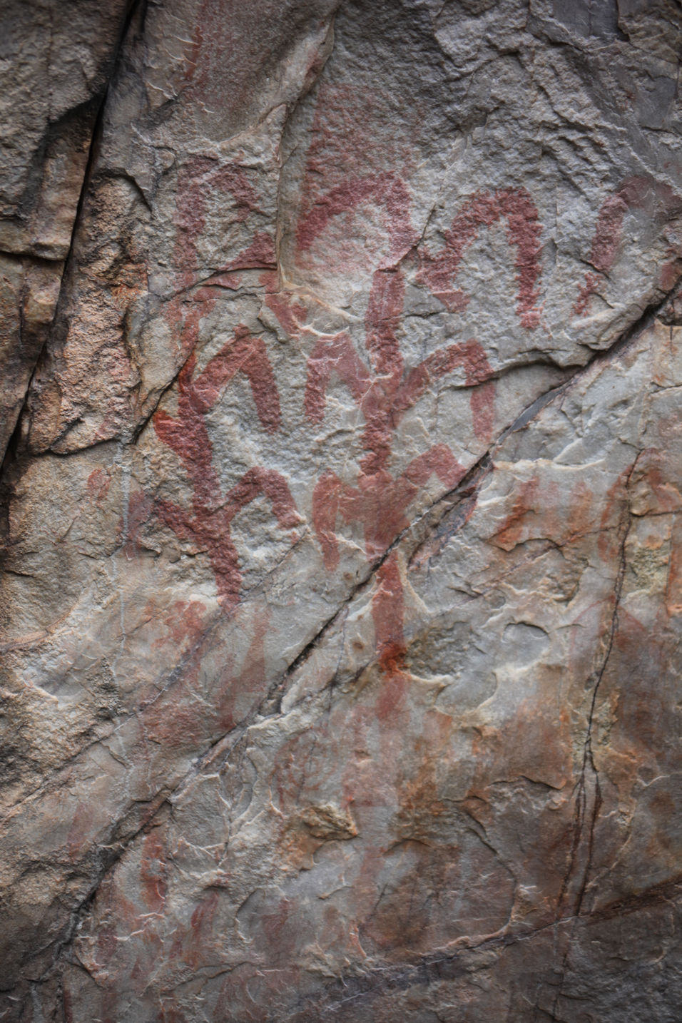
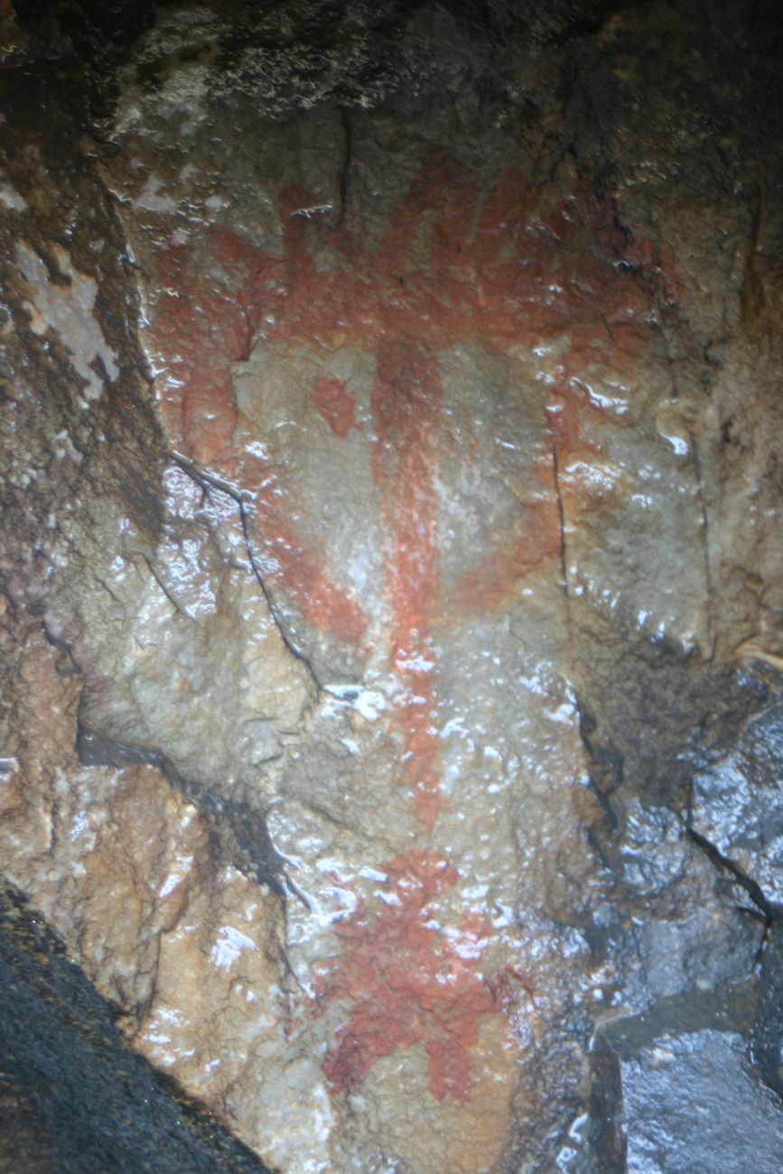
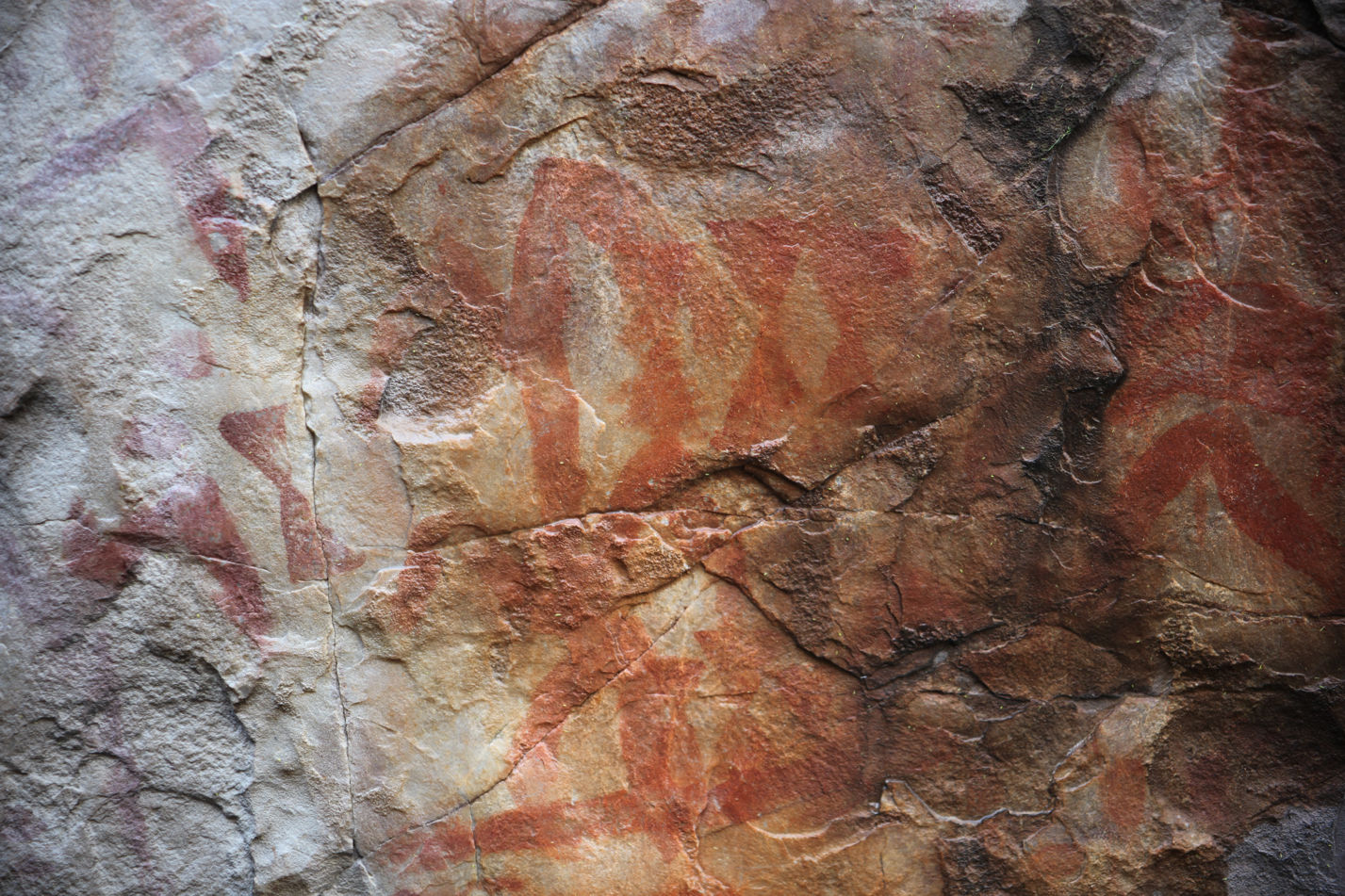
Evidencias arqueológicas del sitio:
From the rock-shelter, towards the north we can overlook a wide plain that forms the middle basin of the River Guadiana, which precisely here is forced to turn in a large bend because of the resistance of the eroded granodioritic massif of Mérida. At over 400m above sea level, from the site we are also easily able to see: to the northwest the River Matachel joining the Guadiana below the small hill of Alanjón, with a small Copper Age settlement (Enríquez and Jiménez, 1989); further west the medieval fortress of Alange Hill, which also is the site of a large Bronze Age settlement (Pavón, 1998) and some other rock-shelters with Schematic rock art; and finally, in the distance in the west, the line of the Sierra de San Serván, which similarly holds one of the largest ensembles of Schematic art in the Province of Badajoz (Ortiz, 1990, 1998).