


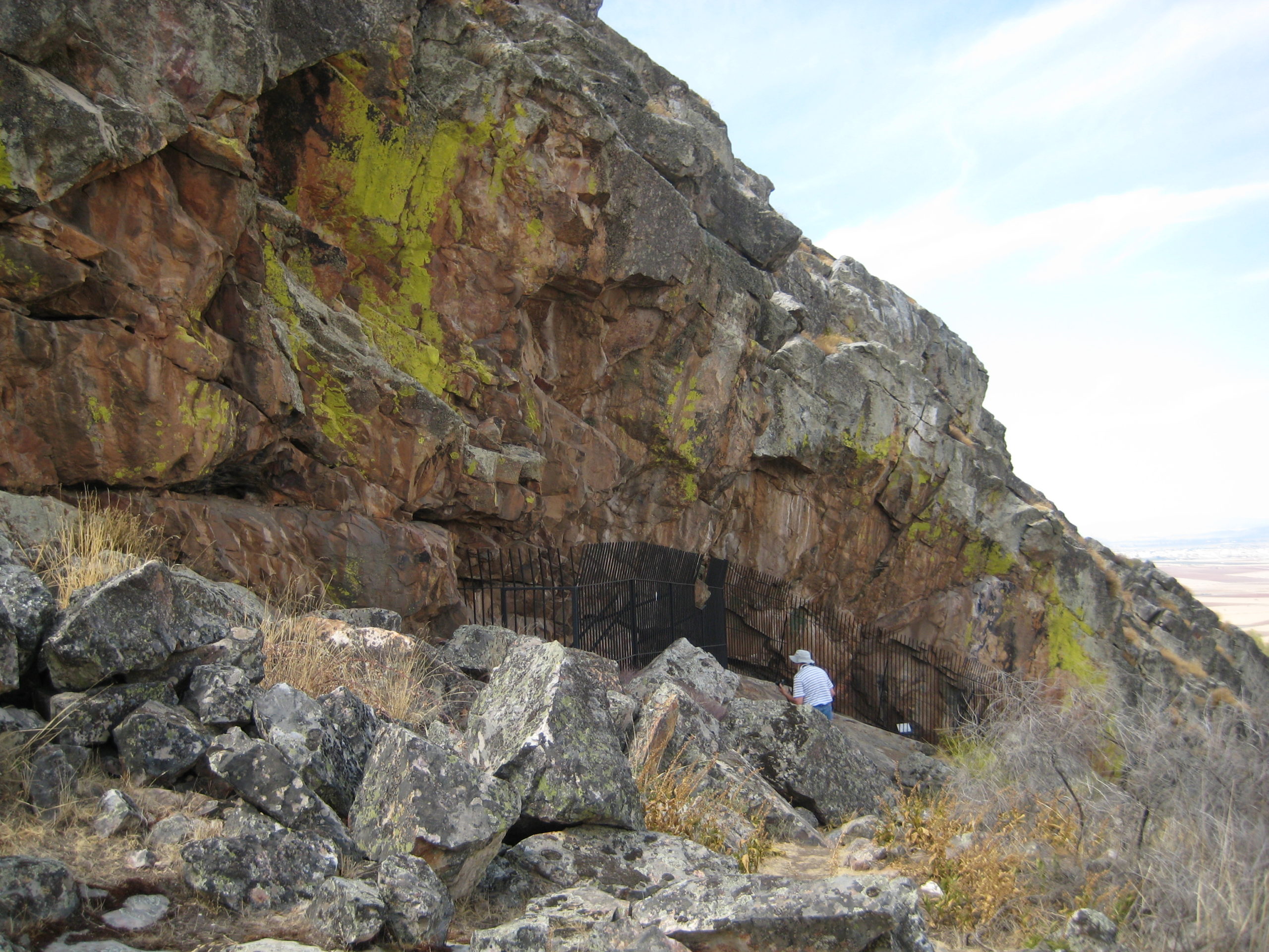
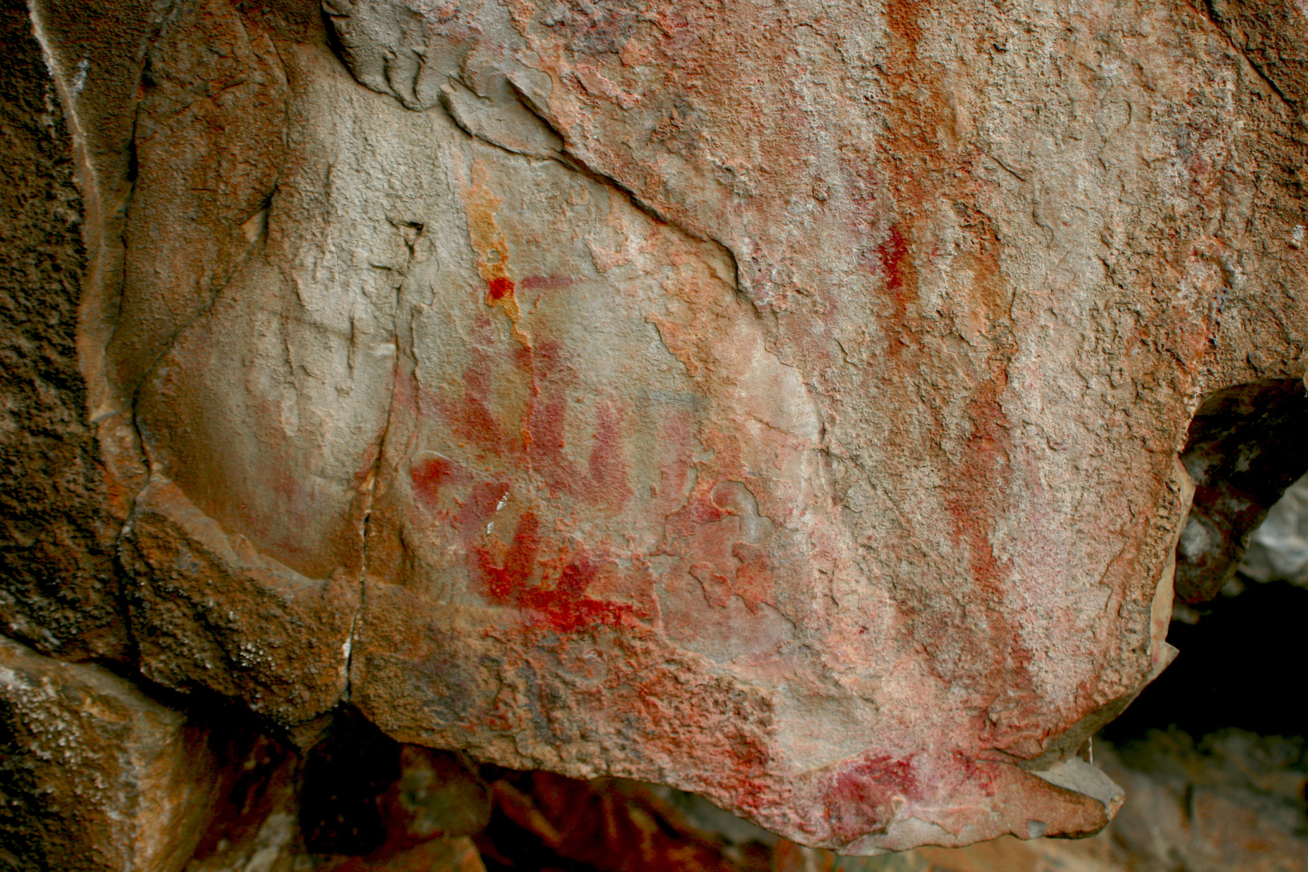
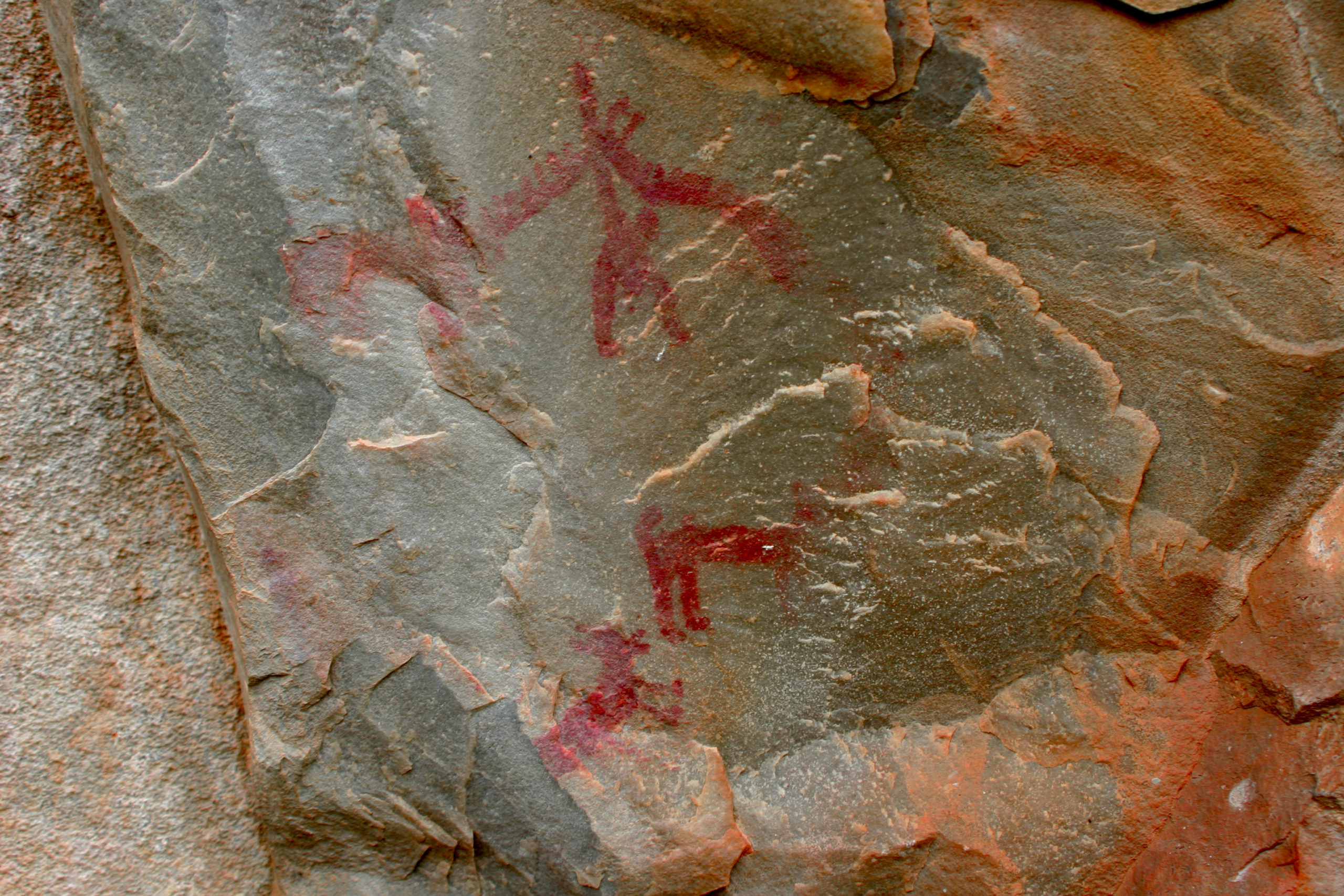
Tipo de sitio:
Rock-Shelter
Lugar de localización: Peña del Búho
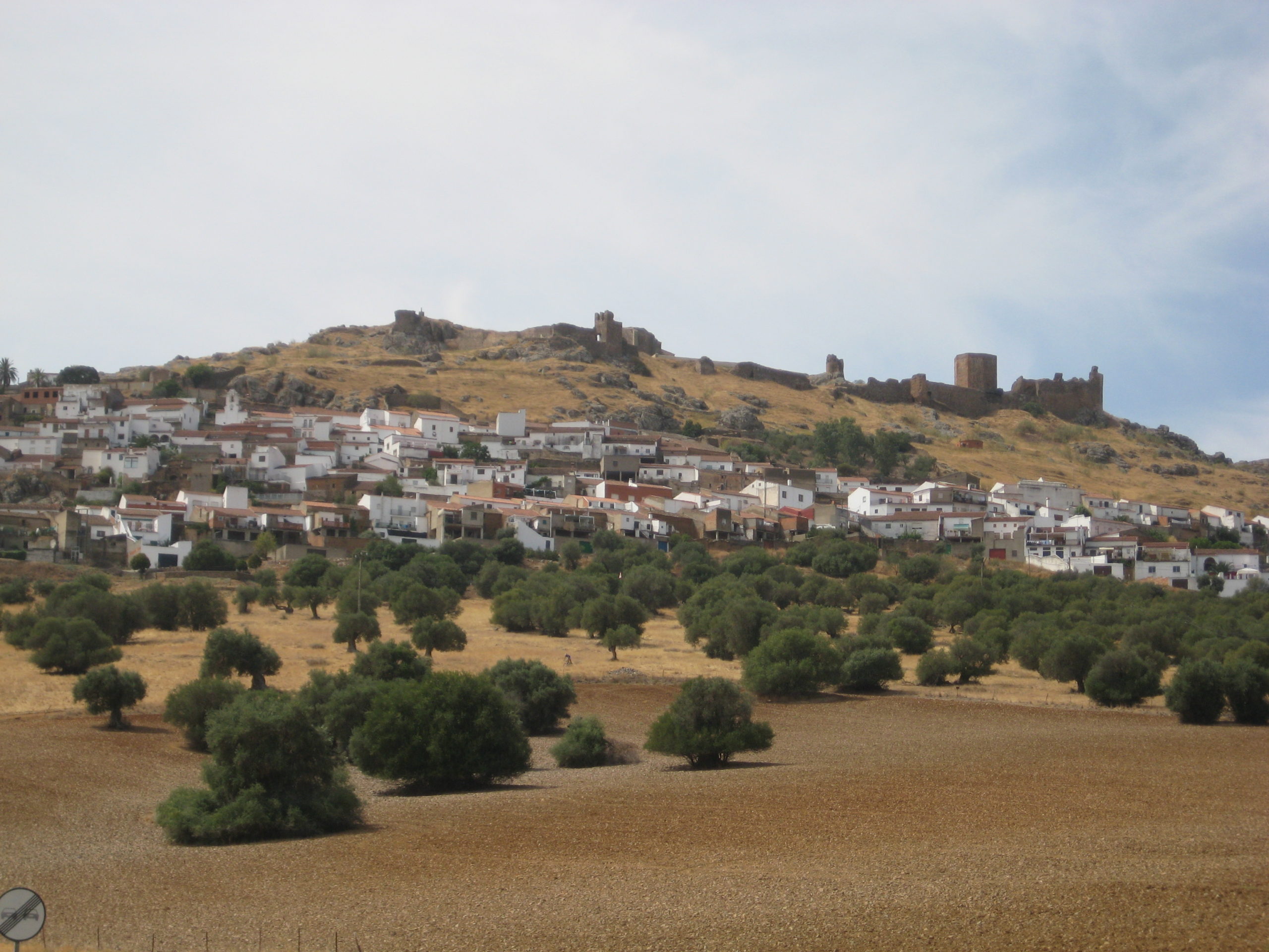
Localidad: Magacela
Municipio: Magacela (Badajoz)
Región: Extremadura
País: España
Página Web: http://www.magacela.com/plantilla.php?enlace=pinturas_rupestres
Entorno Natural:
The landscape of the area is defined by a wide plain, of about 400 m of average altitude, developed on siliceous slates, in which the only reliefs of certain importance that can be observed are those originated by differential erosion in the crests of Palaeozoic quartzite and in the granitic berrocales; These rocks, being more resistant to the erosive processes, stand out in the form of low altitude mountain ranges and in them the rocky shelters such as the one that houses the town of Magacela and the Peña del Búho shelter. On the slopes of these small mountain ranges the high mountain vegetation is developed constituted essentially by oaks, as well as a Mediterranean low mountain vegetation of rockrose, thyme and broom.
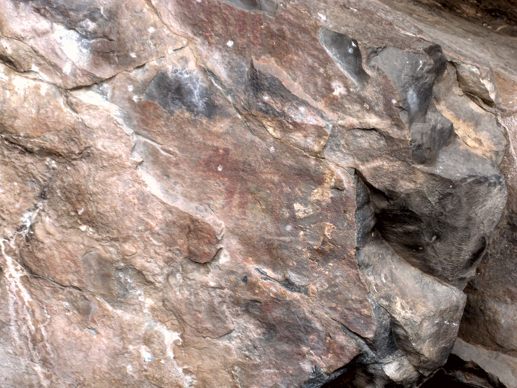
Evidencias arqueológicas del sitio:
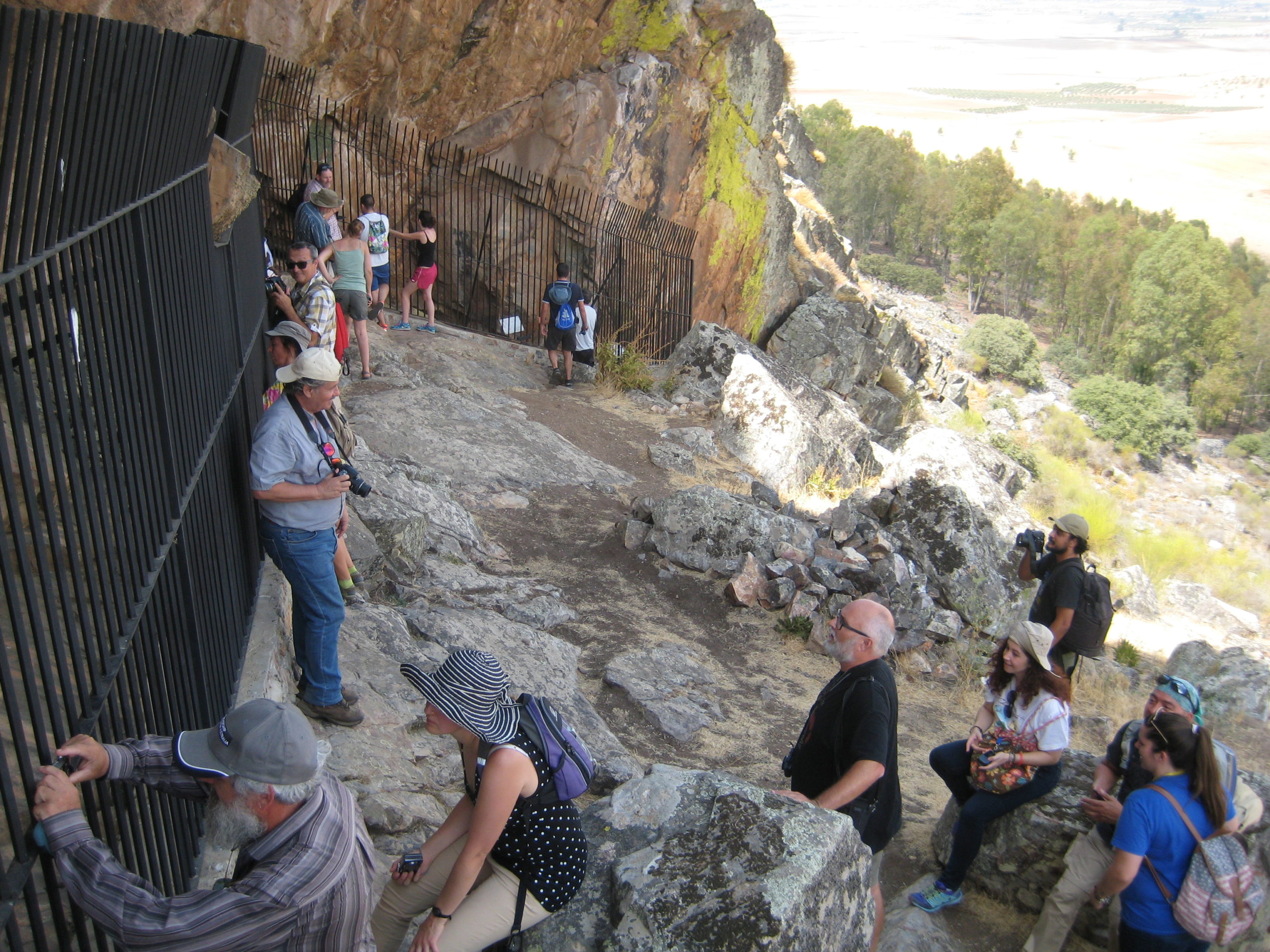
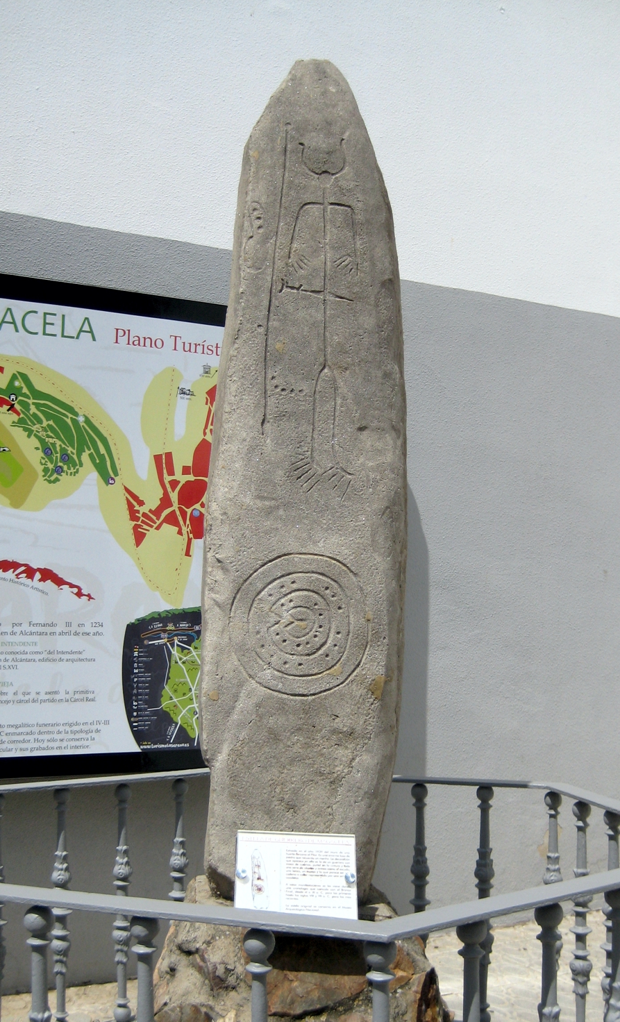
The municipality of Magacela has a great Archaeological heritage, with diferent settlements of the Recent Prehistory, including dolmens, decorated steles, a medieval castle, etc. There are 8 decorated rock-shelters with Schematic representations but the possibility to find most of sites and see the drawings are limited and only possible with a local guide to visit them. Only the visit to El Buho (sometimes named “Peña del Águila”) can be easily developed from Magacela village.