Cronología de las representaciones rupestres: Approximately between 8000 and 3500 years ago.
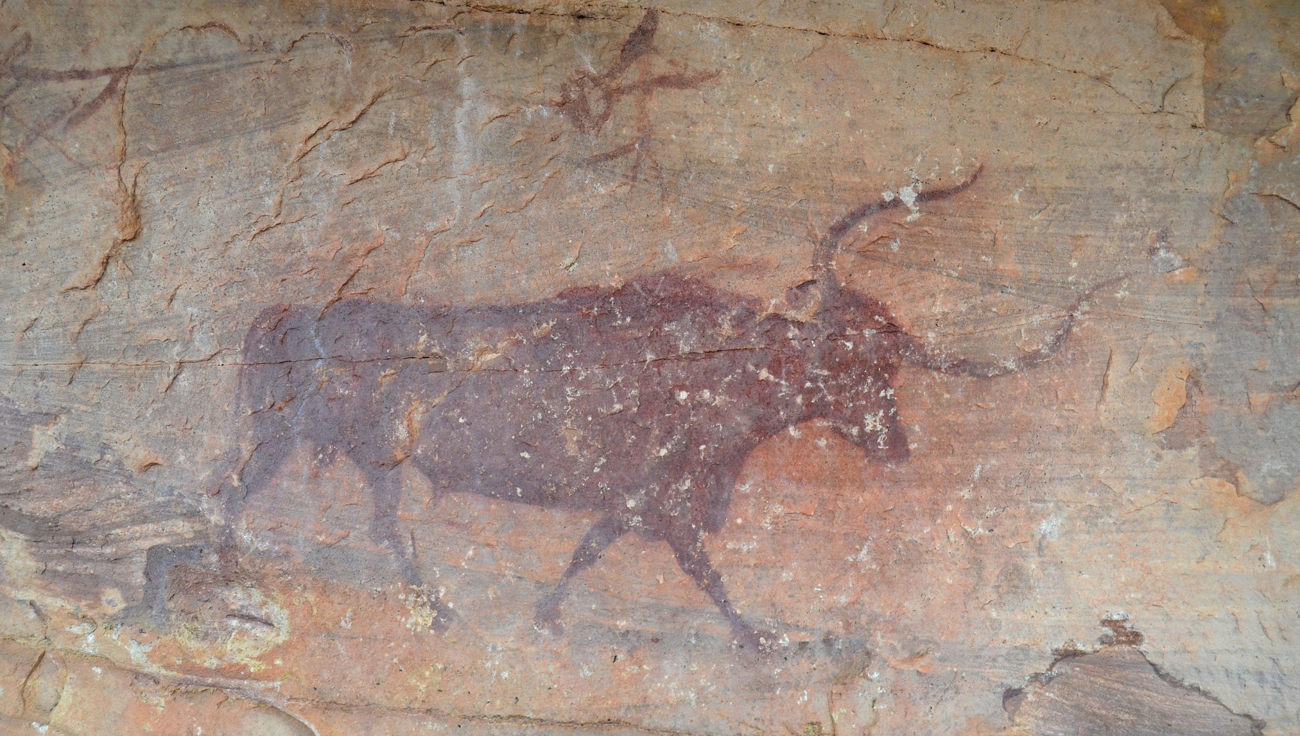
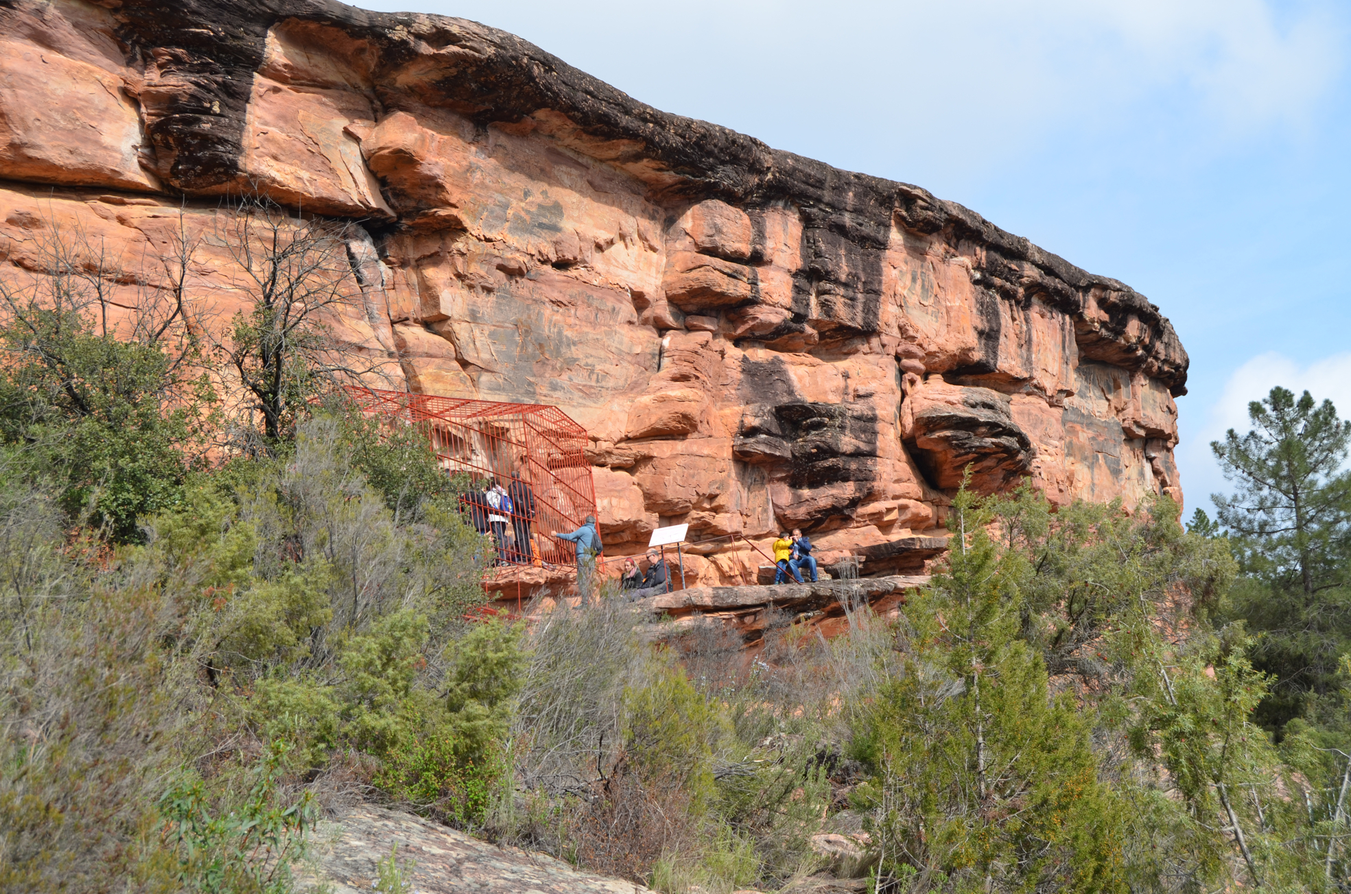
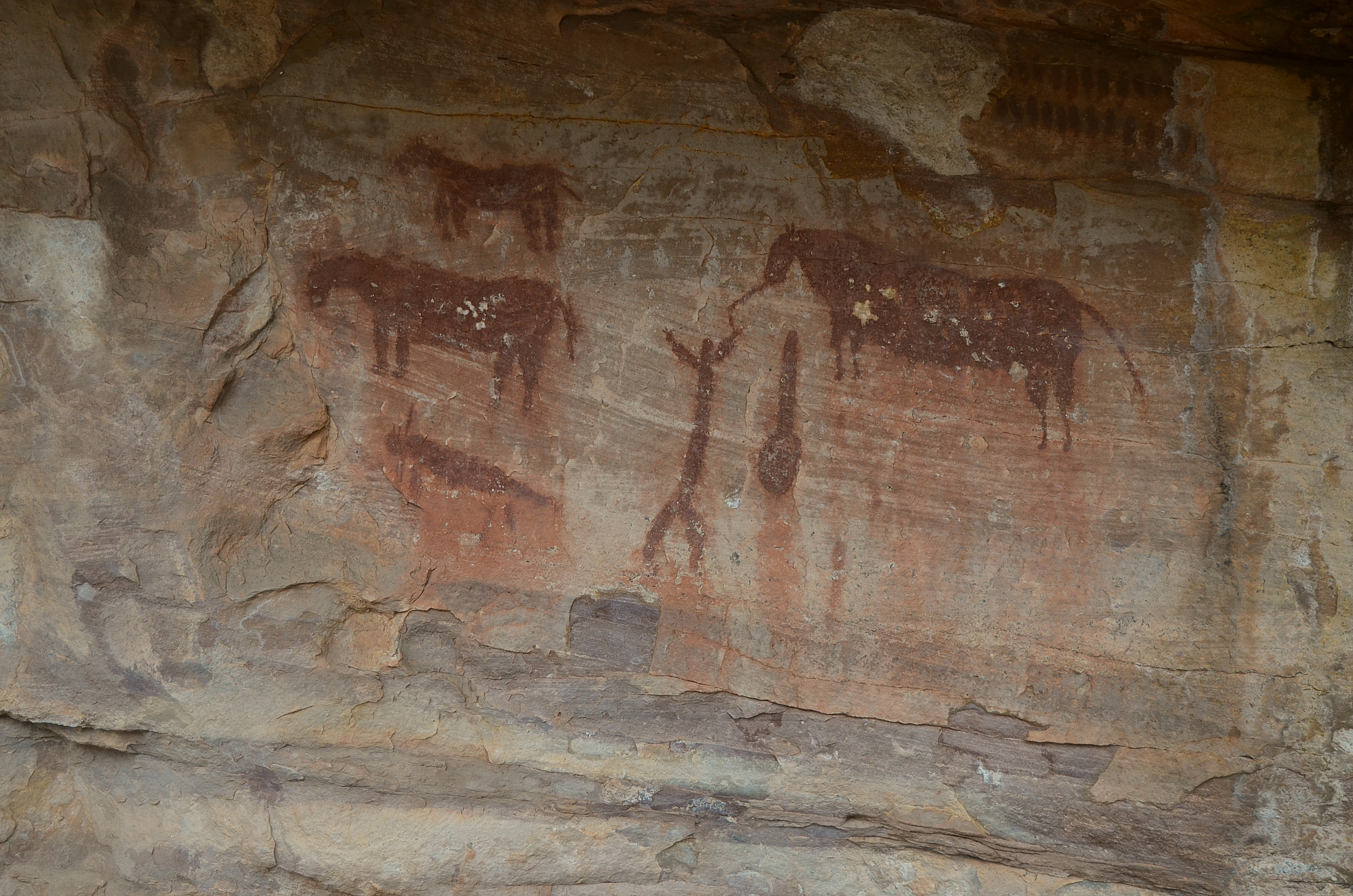
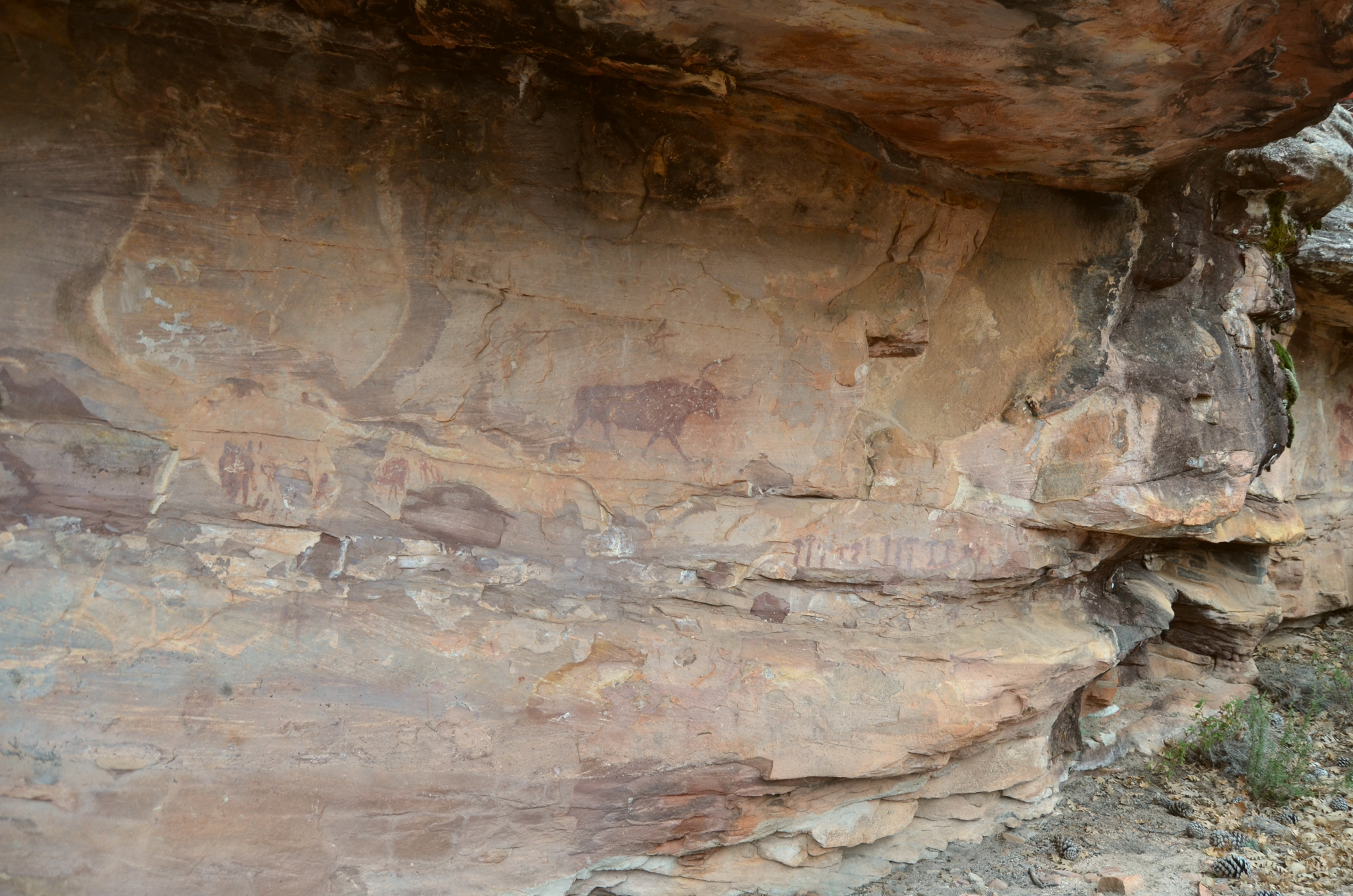
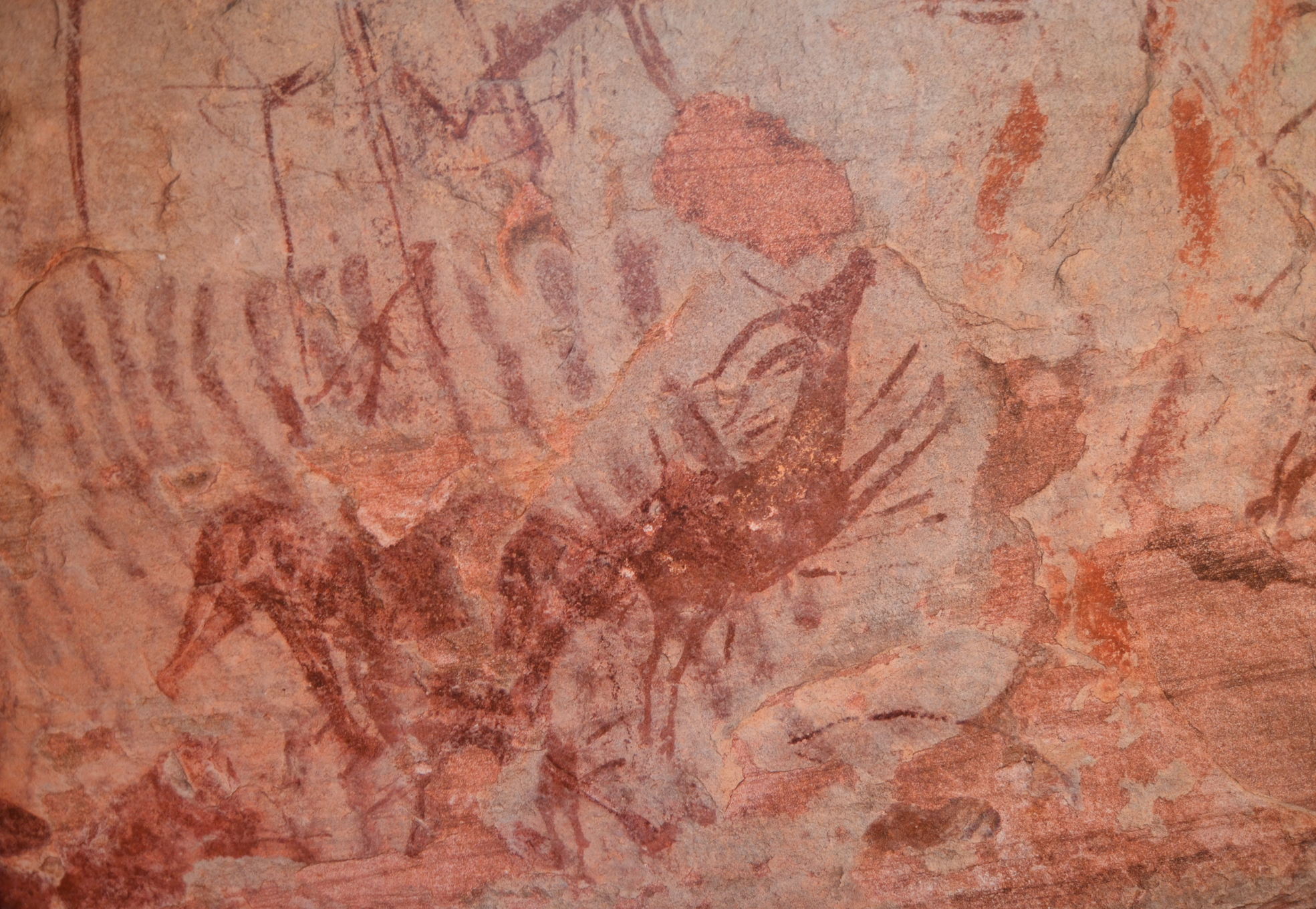
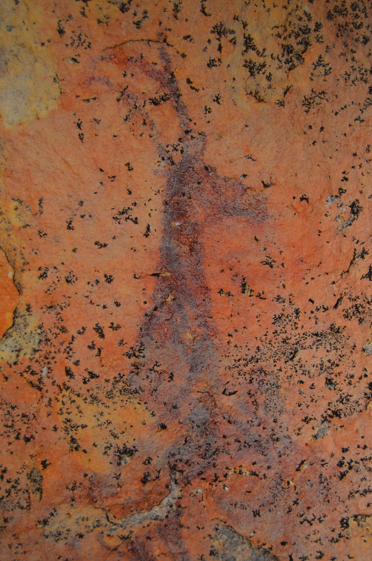
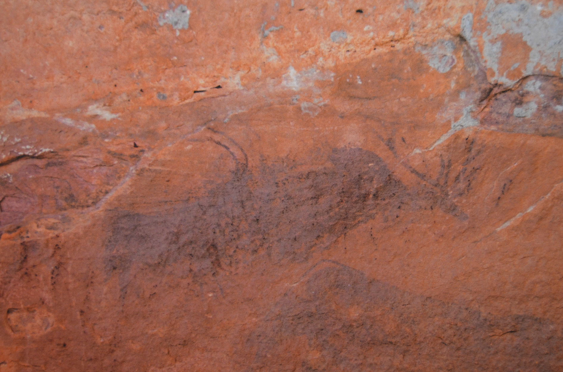
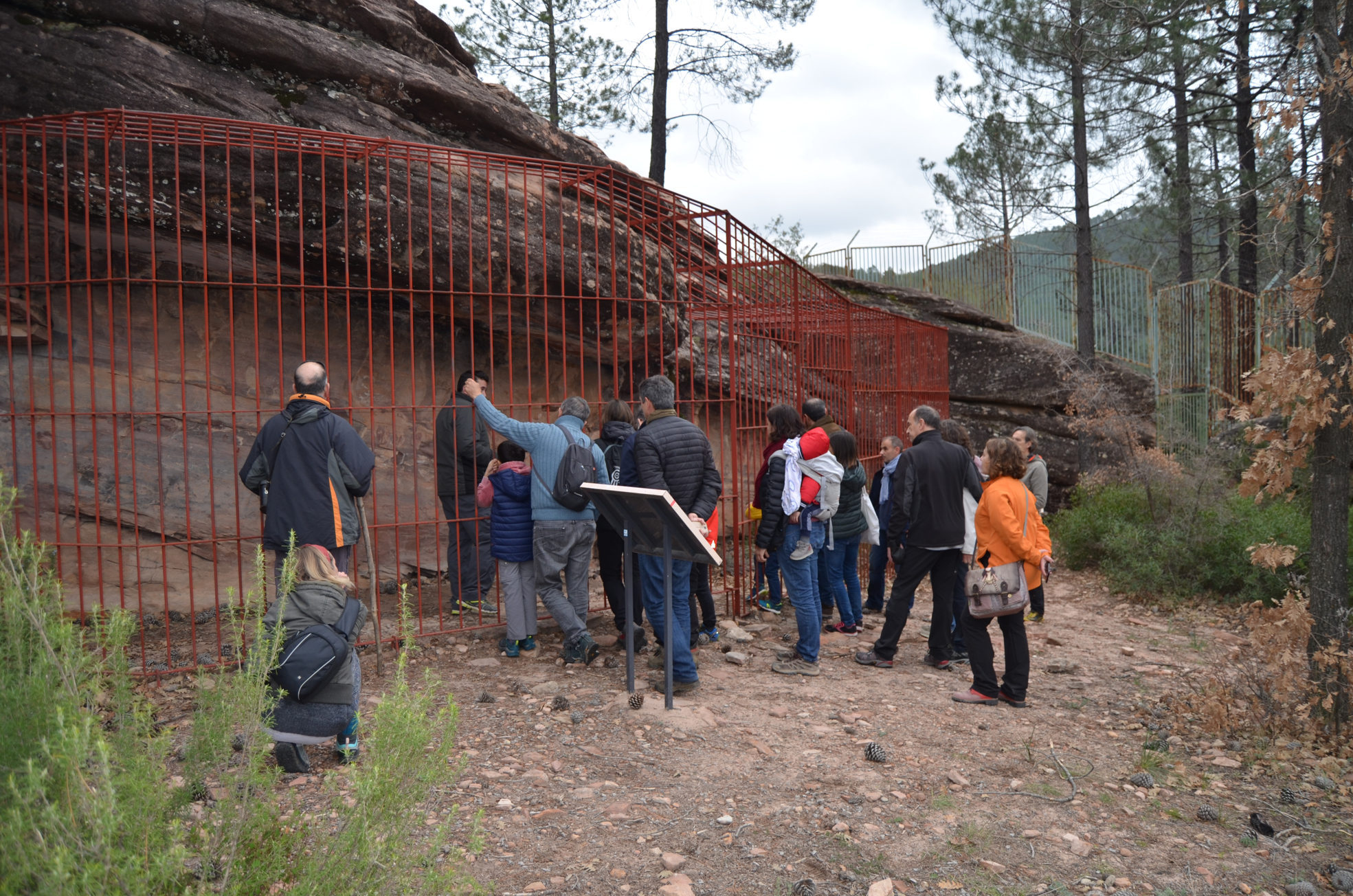
Descripción general del destino: One of the most representative groups of Levantine rock art in the Iberian Peninsula, with human and animal figures, hunting scenes and enigmatic abstract forms. There are different ways to visit all the sites, but it is necessary to go with a local guide to reach some places, due to the size of the area and the difficulties to access some of them. Starting from the Interpretation Centre, there is an a simple route by off-road vehicle that allows all visitors to take a journey through all the themes and styles of Levantine art. In over a hundred figures we can see human figures (both men and women), animals, both figurative and schematic images and abstract motifs (but it is necessary to coordinate the date and book the trip)
Historia del sitio: The discovery of rock art in Villar del Humo dates back to 1917, when Enrique O’Kelly (an assistant of the Forestry Engineers), together with other local people, found two friezes with paintings in the Peña del Escrito. In 1918, archaeologist Eduardo Hernández Pacheco and his collaborators discovered the Selva Pascuala shelter, the Selva Pascuala fountain and the Cueva del Bullón. It took almost fifty years for a new painted panel to be rediscovered; proof of the oblivion into which this cave nucleus was plunged. The teacher of the town and some of his students discovered new paintings within the program “Operation Rescue”. In 1995 the place was prepared to receive visitors and in 1998 the assemblages of rock-shelters were included in the declaration of UNESCO’s World Heritage called “Rock Art of the Mediterranean Bassin of the Iberian Peninsula” (http://www.arterupestre.es/). Now in the 21st century, the graphic record of the archaeological area has been studied with the latest technologies by a team from the University of Castilla La Mancha led by Juan Francisco Ruiz.
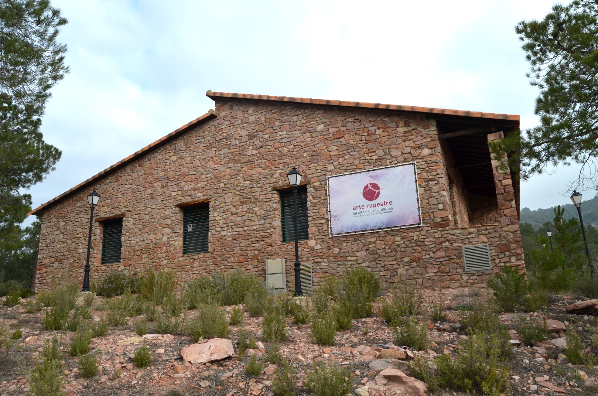
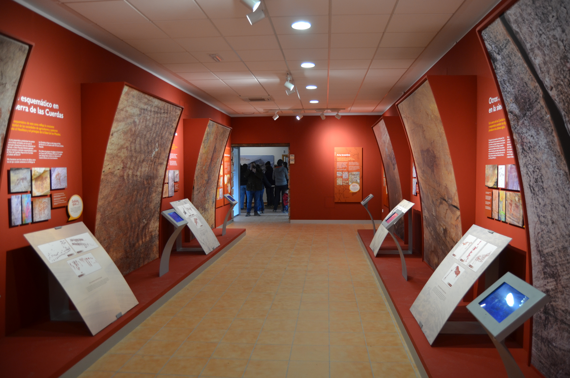
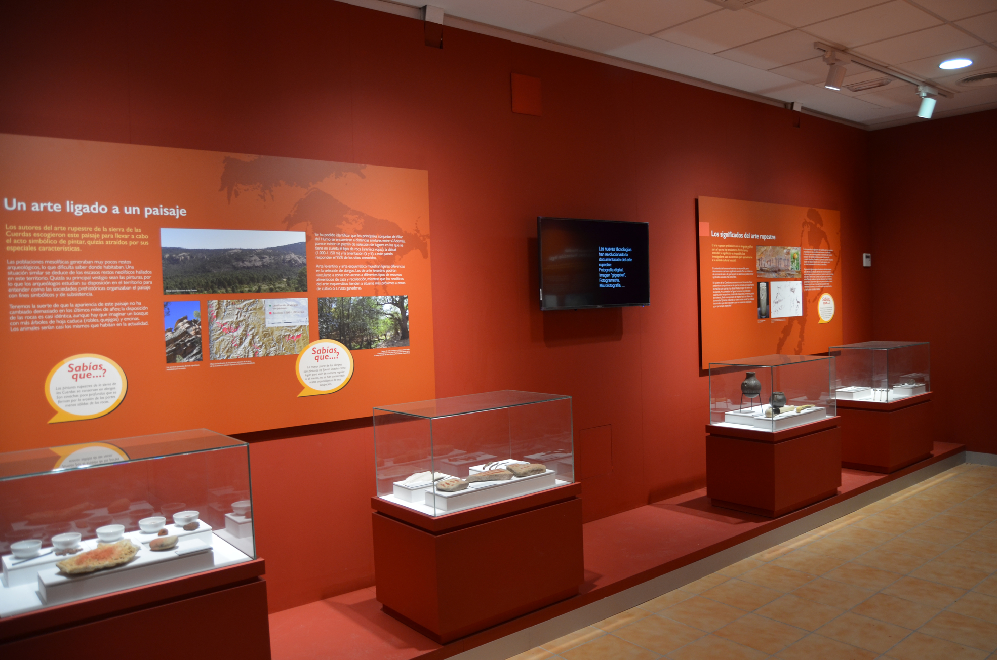
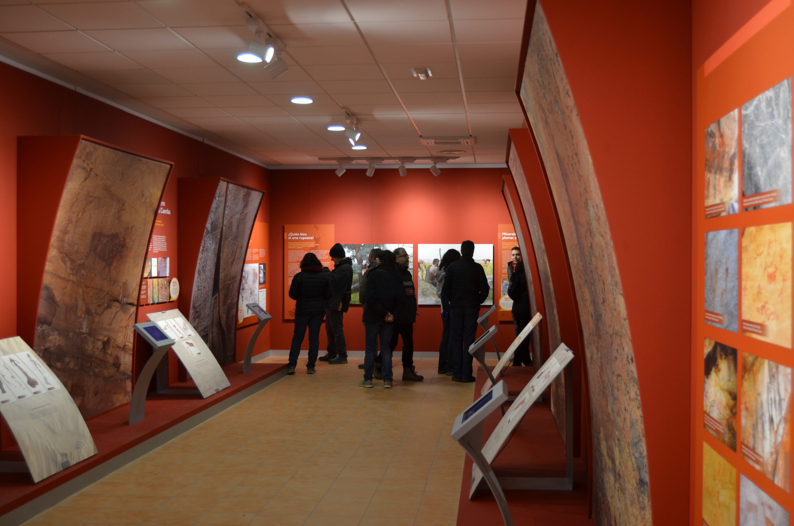
Descripción de los recursos museográficos: Interpretation Center ” Sierra de las Cuerdas” is located on the outskirts of the village of Villar del Humo in the start point of the routes to visiti the rock-shelters. Recently inaugurated, this beautiful exhibition is foccused on introducing the archaeological context of the area and its paintings to the visitors and offering a previous overview of the rock art, which you can discover on the different routes that are start at the Interpretation Centre.