


Type of site:
Rock-Shelters
Place of location: Moratalla town
Village/Town: Moratalla
Municipality: Moratalla ()
Region: Murcia
State: Spain
Telephone: 968 730 208
Website: https://turismodelsegura.com/actividades-escolares
E-mail: turismo@ayuntamientomoratalla.net
Natural Environment:
The Calasparra region is crossed by two nearly parallel lines of mountains, with the Segura Valley between them. There are a series of smaller hills to the south. The area is undulating in general, with many small hills with the Rivers Argos, Quipar and Benamor flowing around them. The sides of Sierra del Molino fall almost perpendicularly to the River Segura, where El Pozo Rock-Shelter is located. A series of caves of speleological and archaeological interest have formed in this limestone hill side.
Archaeological evidences in the site:
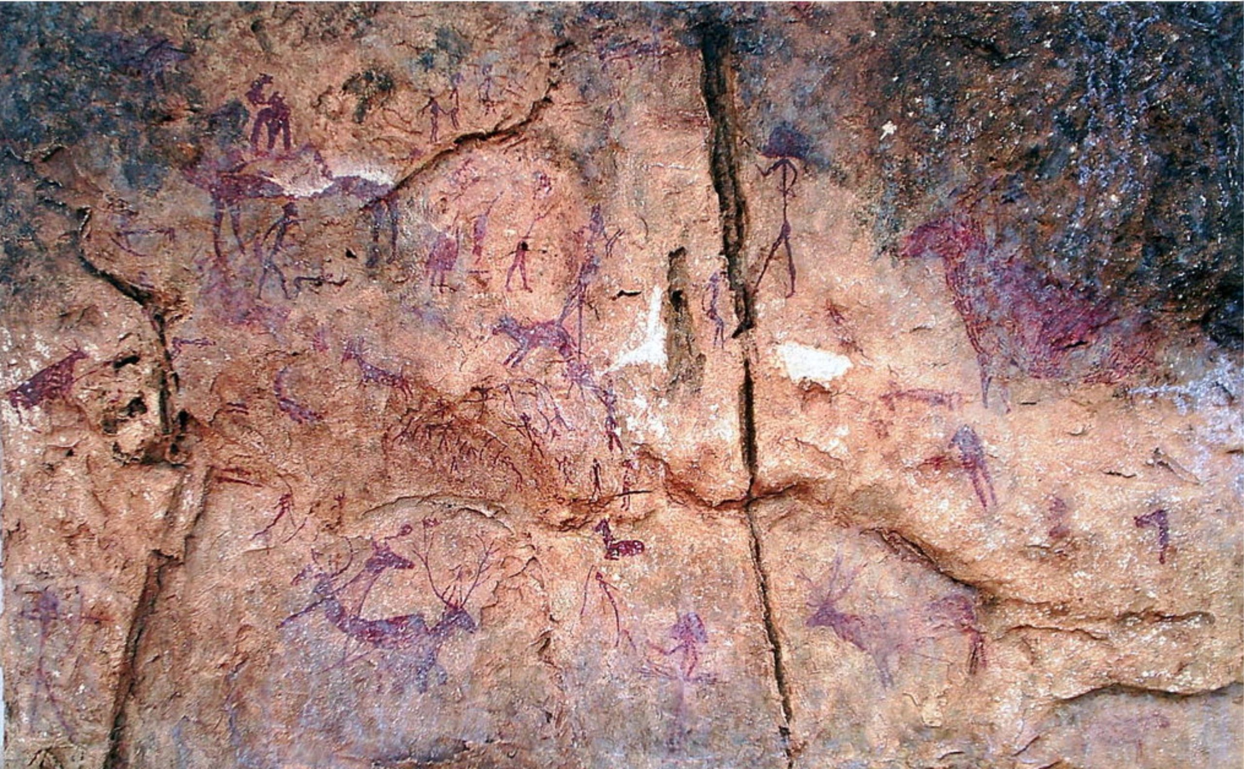
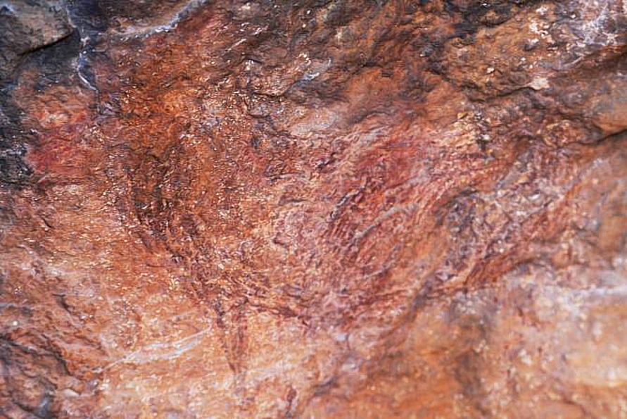
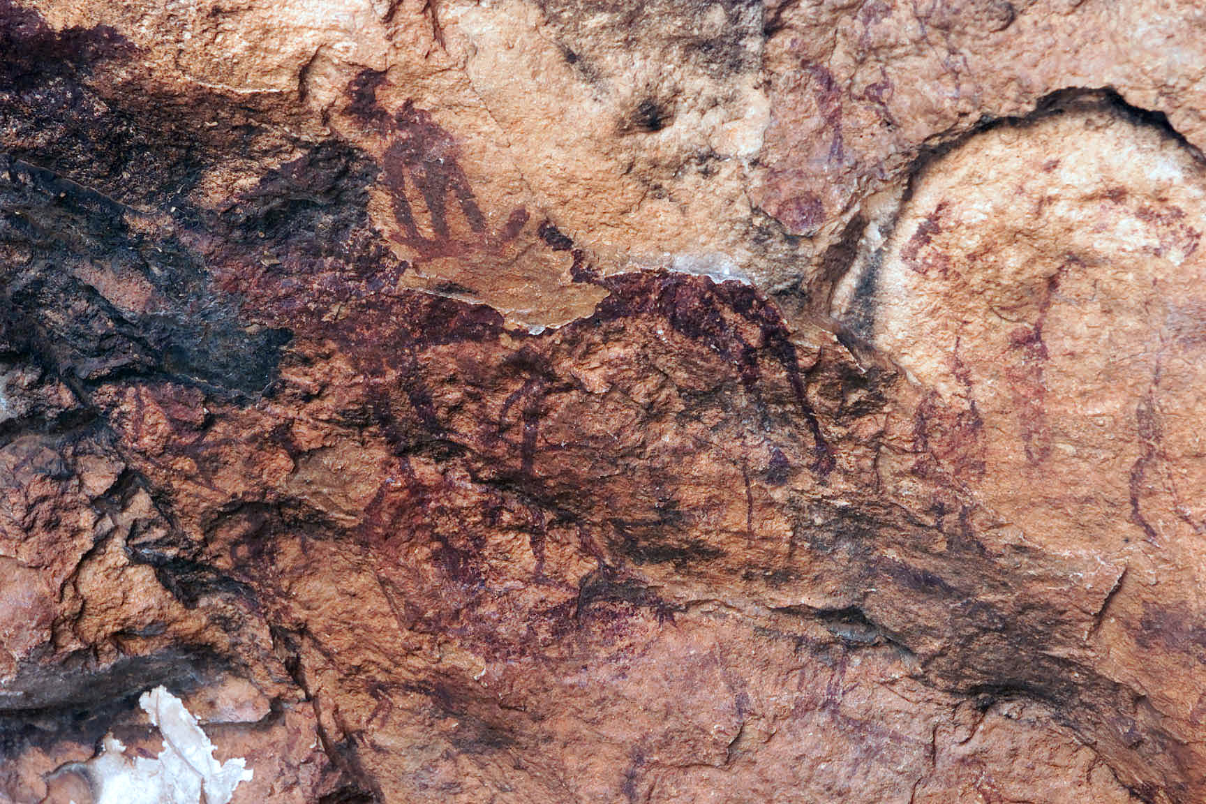
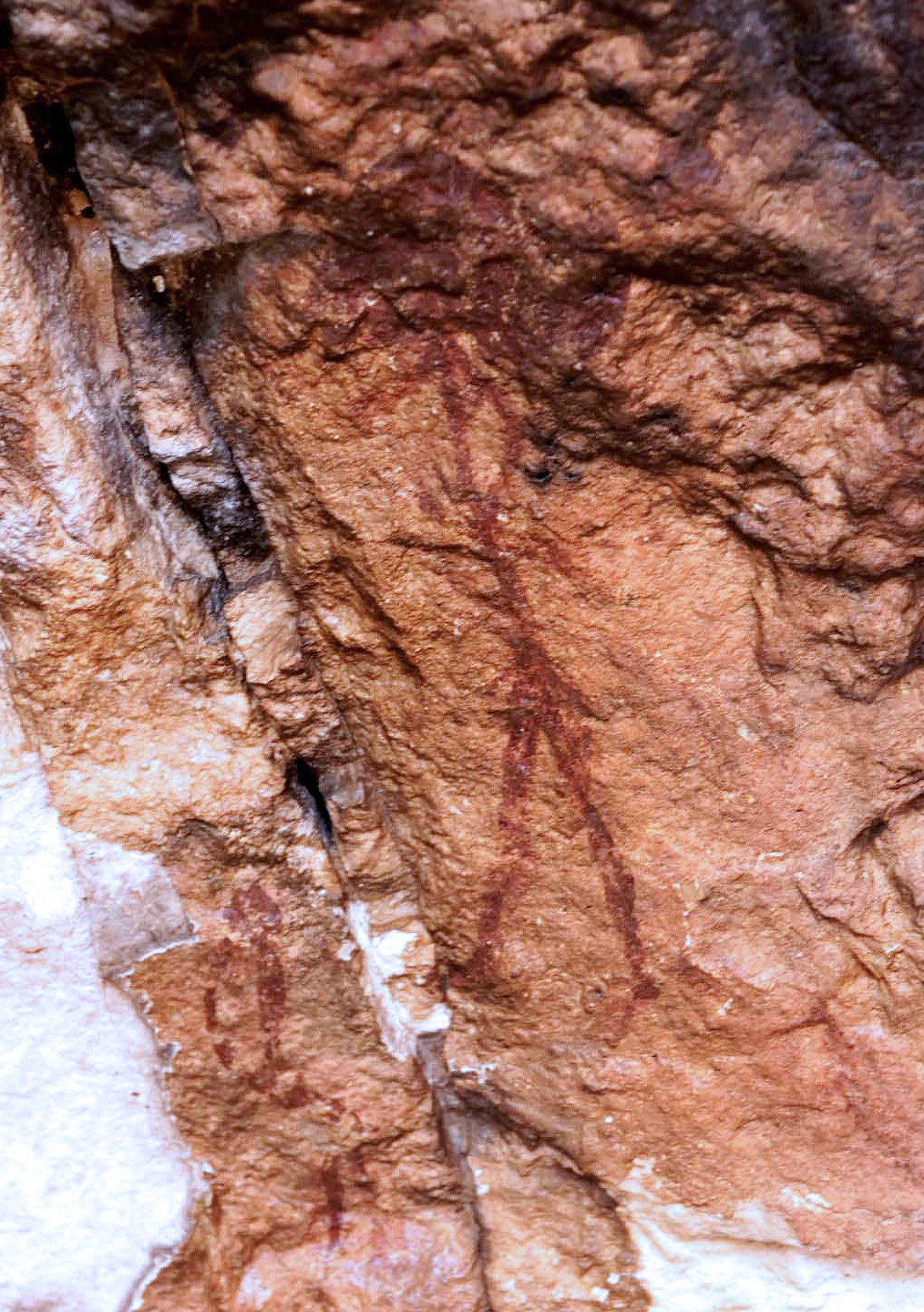
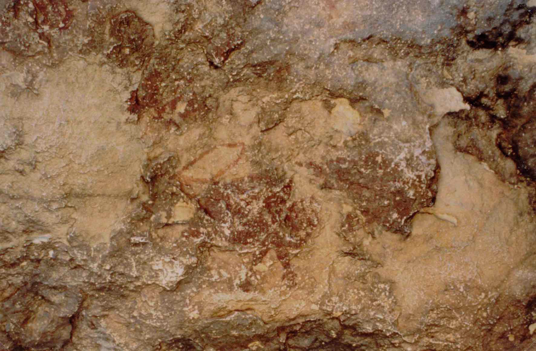
Schematic Art.