


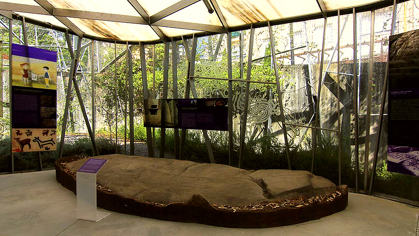
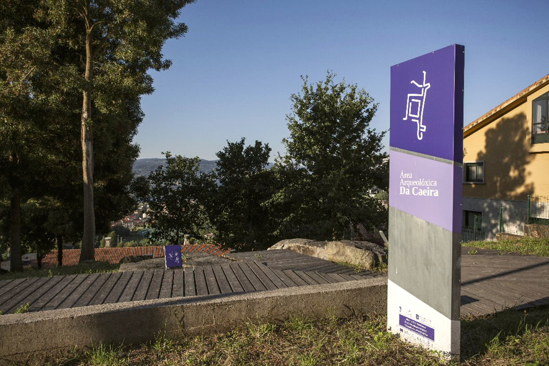
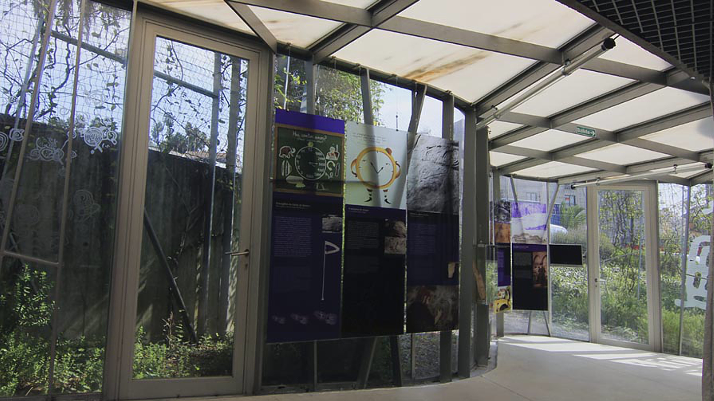
Type of site:
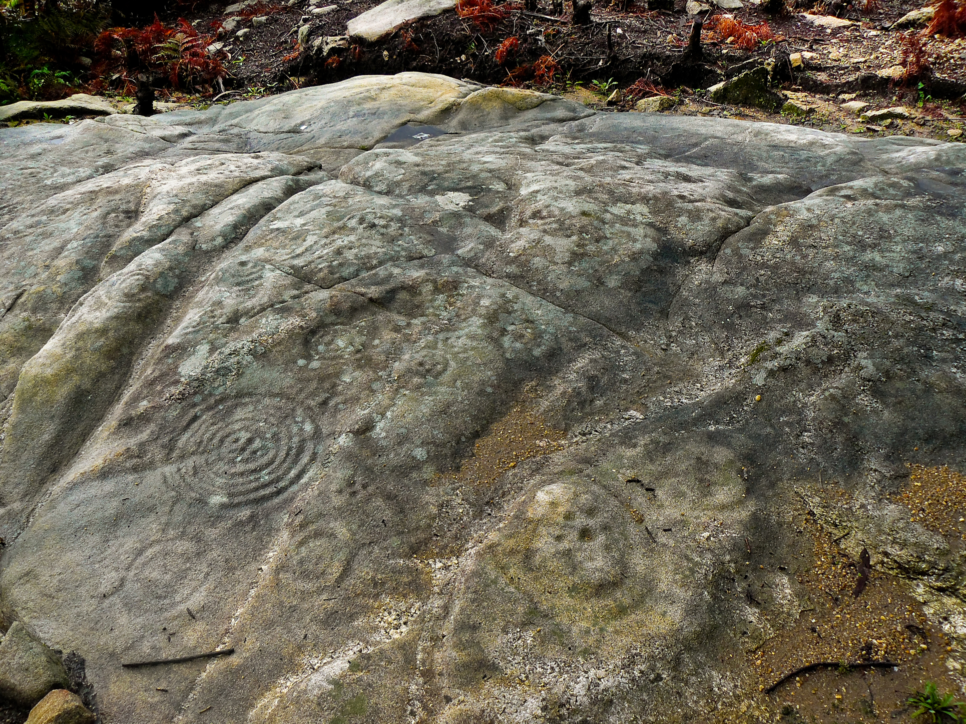
Petroglyphs / Archaeological Area
Place of location: Mouth of the River Lérez, in the Ria of Pontevedra
Village/Town: A Caeira / Boa Vista / Montecelo
Municipality: Poio (Pontevedra)
Region: Galicia
State: Spain
Telephone: (+34) 986 833 204
Website: https://terrasdepontevedra.org/es/arte-rupestre/centro-arqueologico-de-la-caeira/
E-mail: turismo@concellodepoio.es
Natural Environment:
The geography of the surroundings of the Archaeological Area is conditioned by the Cordal de Castrove to the north, a lines of hills which slope steeply towards the coast, on the northern shore of the Ria de Pontevedra. Therefore, except on the coastline, the relief is dominated by steep hillsides with numerous outcrops of granite.
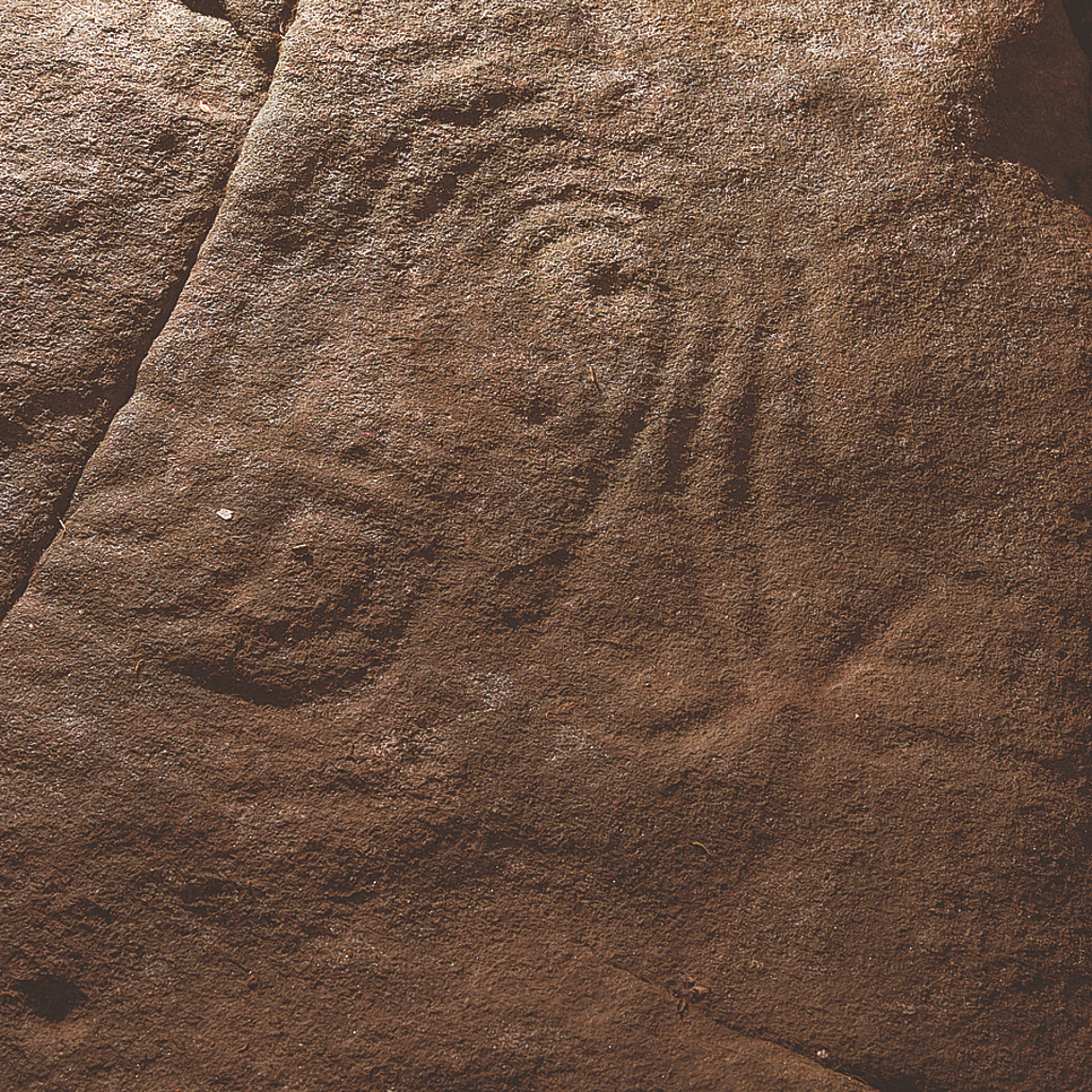
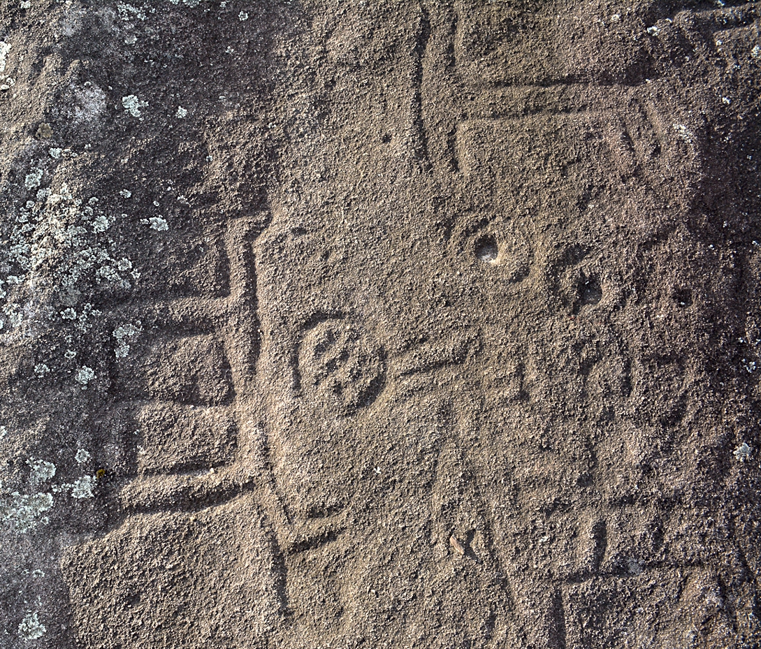
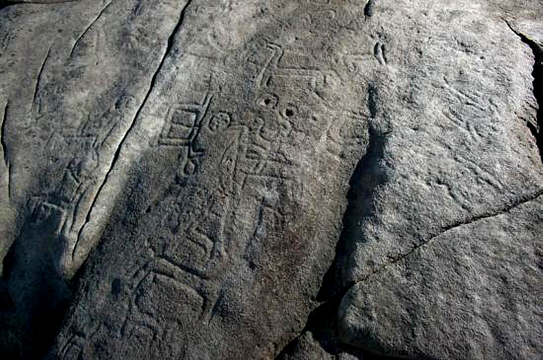
Archaeological evidences in the site:
The area of the Rias Baixas is characterised by the wealth and diversity of its prehistoric sites, and among these the open-air rock engravings are the most important and emblematic archaeological evidence.