


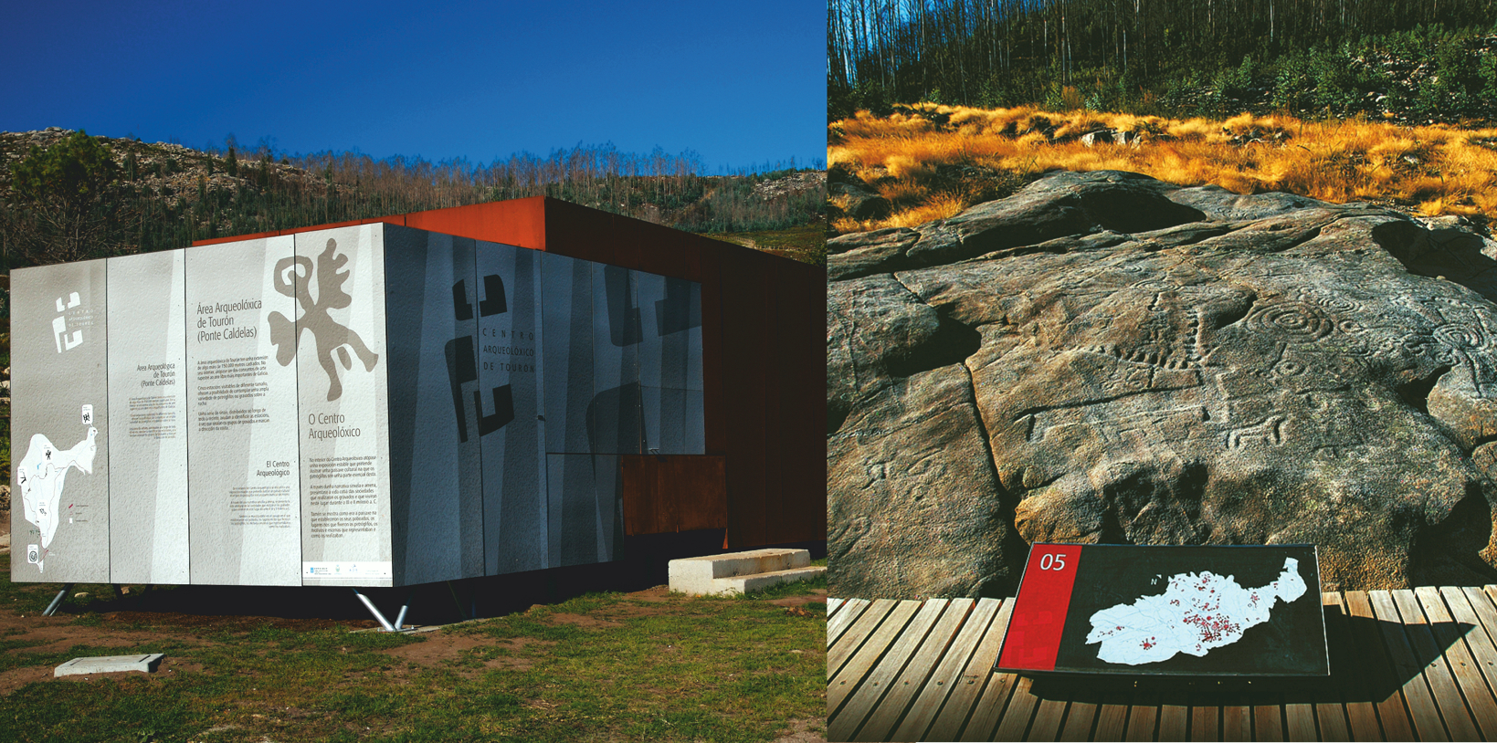
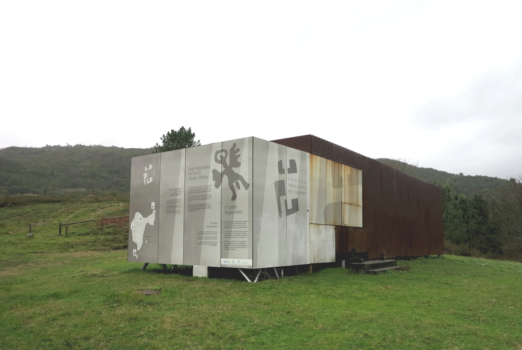
Type of site:
Petroglyphs / Archaeological Area
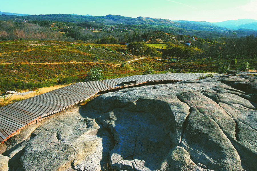
Place of location: North side of the valley of the River Verdugo.
Village/Town: Tourón
Municipality: Ponte Caldelas (Pontevedra)
Region: Galicia
State: Spain
Telephone: (+34) 986 090 300
Website: https://www.pontecaldelas.org/index.php/turismo/area-arqueologica-de-touron
E-mail: centroarqueoloxicotouron@pontecaldelas.org
Natural Environment:
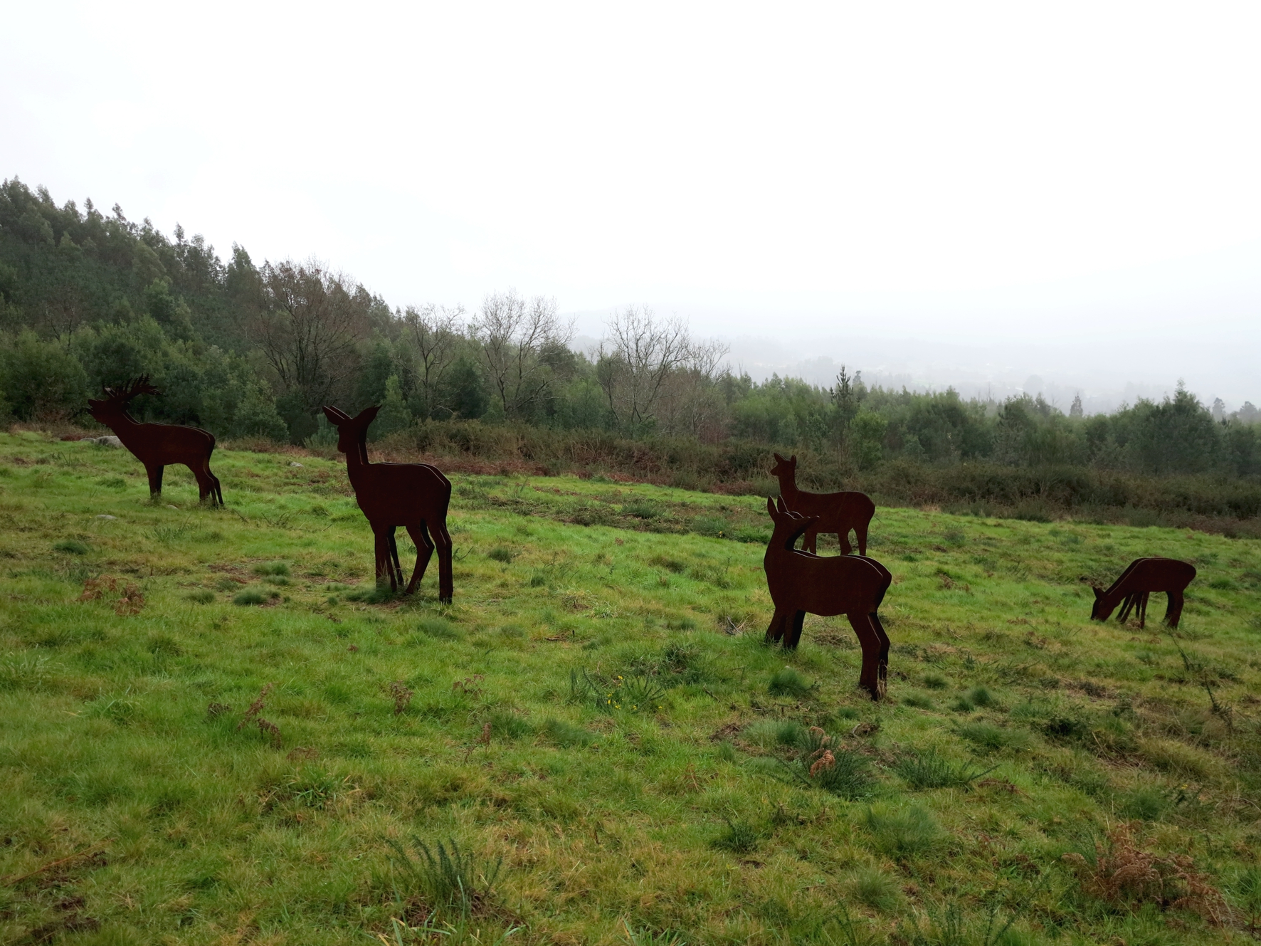
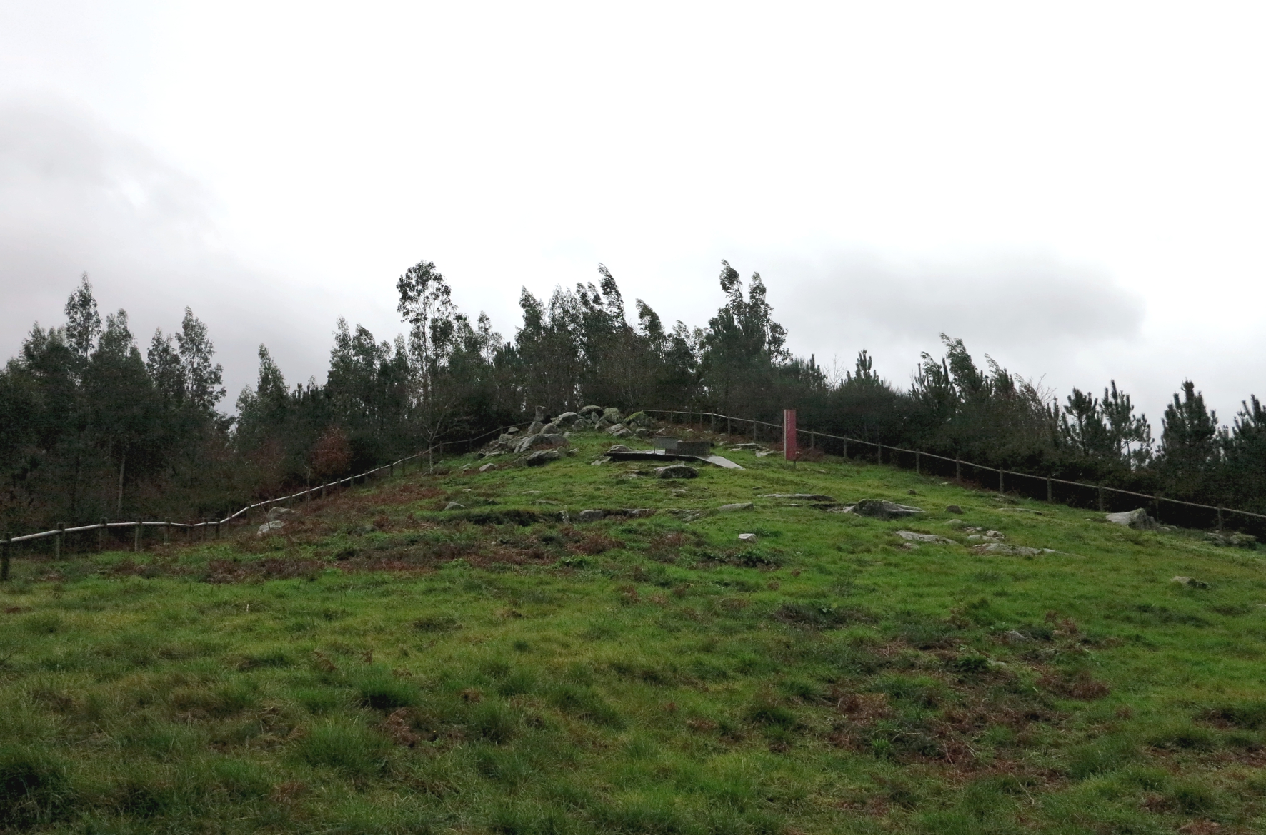
Tourón Archaeological Area is near the coast of Galicia, on the south side of the hills and mountains separating the valleys of the Rivers Almofrei and Verdugo. It is an area of abrupt relief, with outcrops of granite; at a low altitude but with steep slopes. Although plantations of eucalyptus and pine predominate, some dense autochthonous woodland can still be seen.
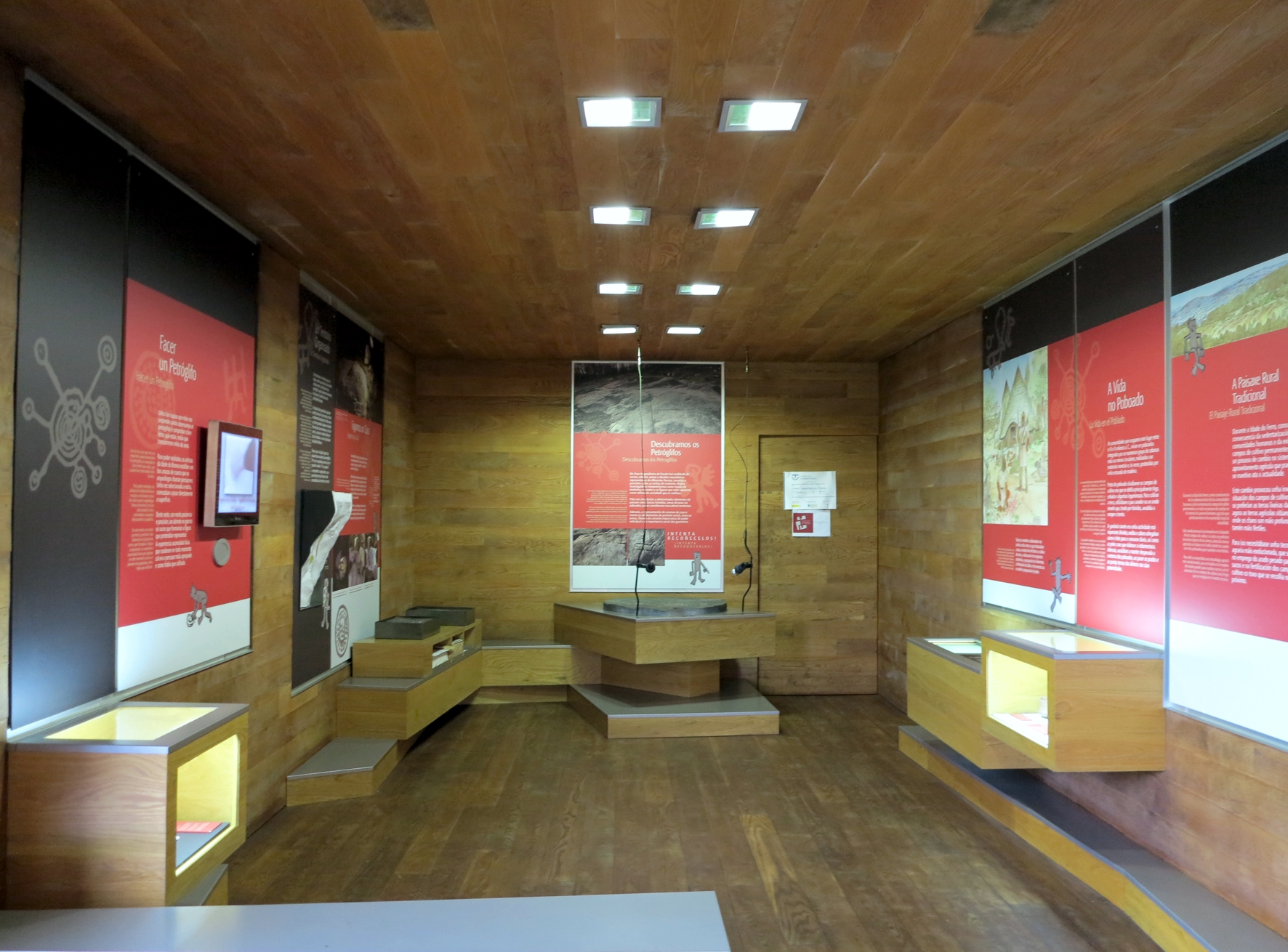
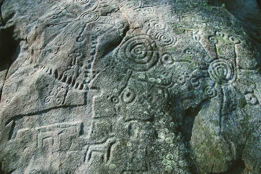
Archaeological evidences in the site:
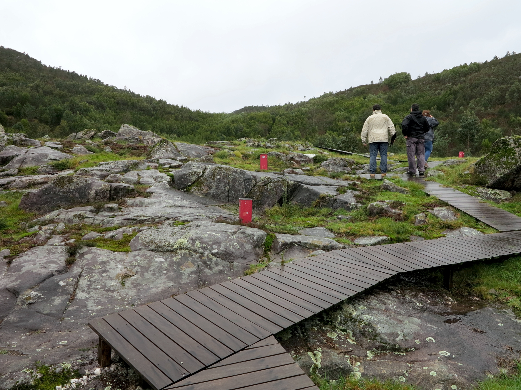
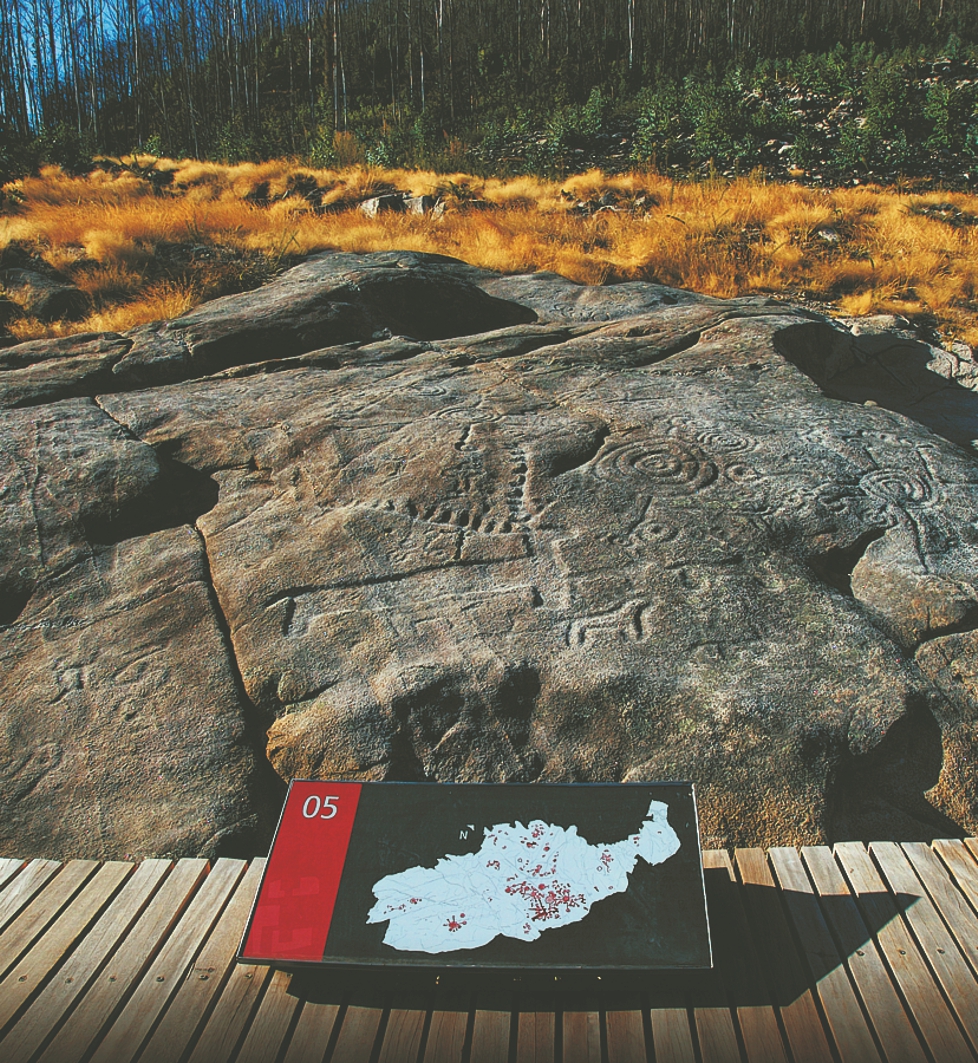
The area of the Rias Baixas is characterised by the wealth and diversity of its prehistoric sites, and among these the open-air rock engravings are the most important and emblematic archaeological evidence.