


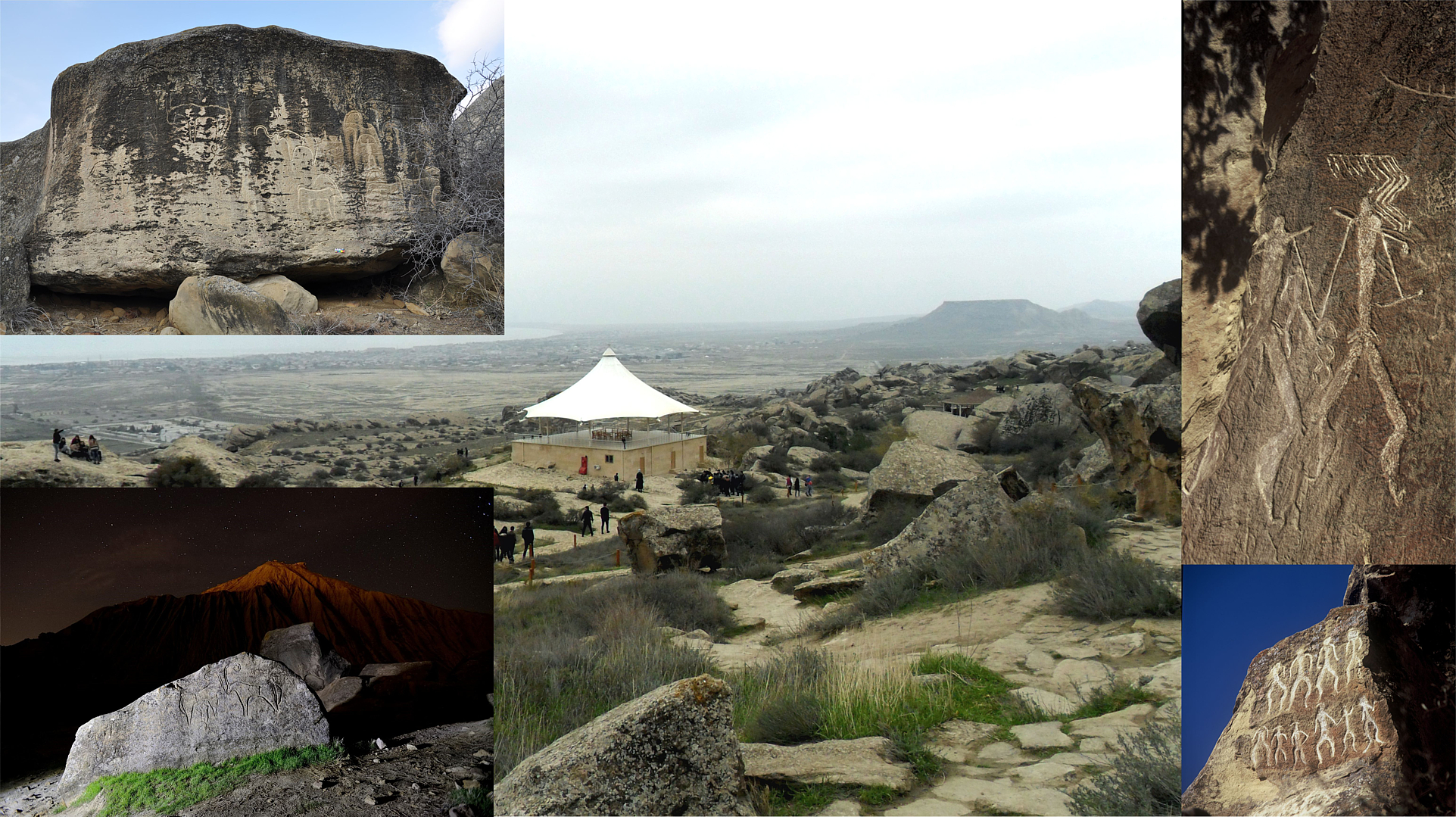


Type of site:
Caves, rock shelters, outcrop, megalithic orthostat, sanctuaries and tombstone
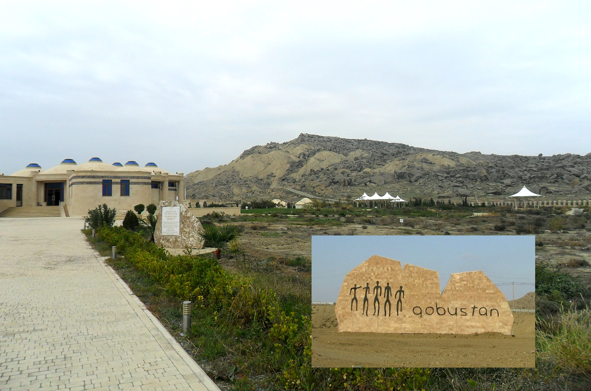
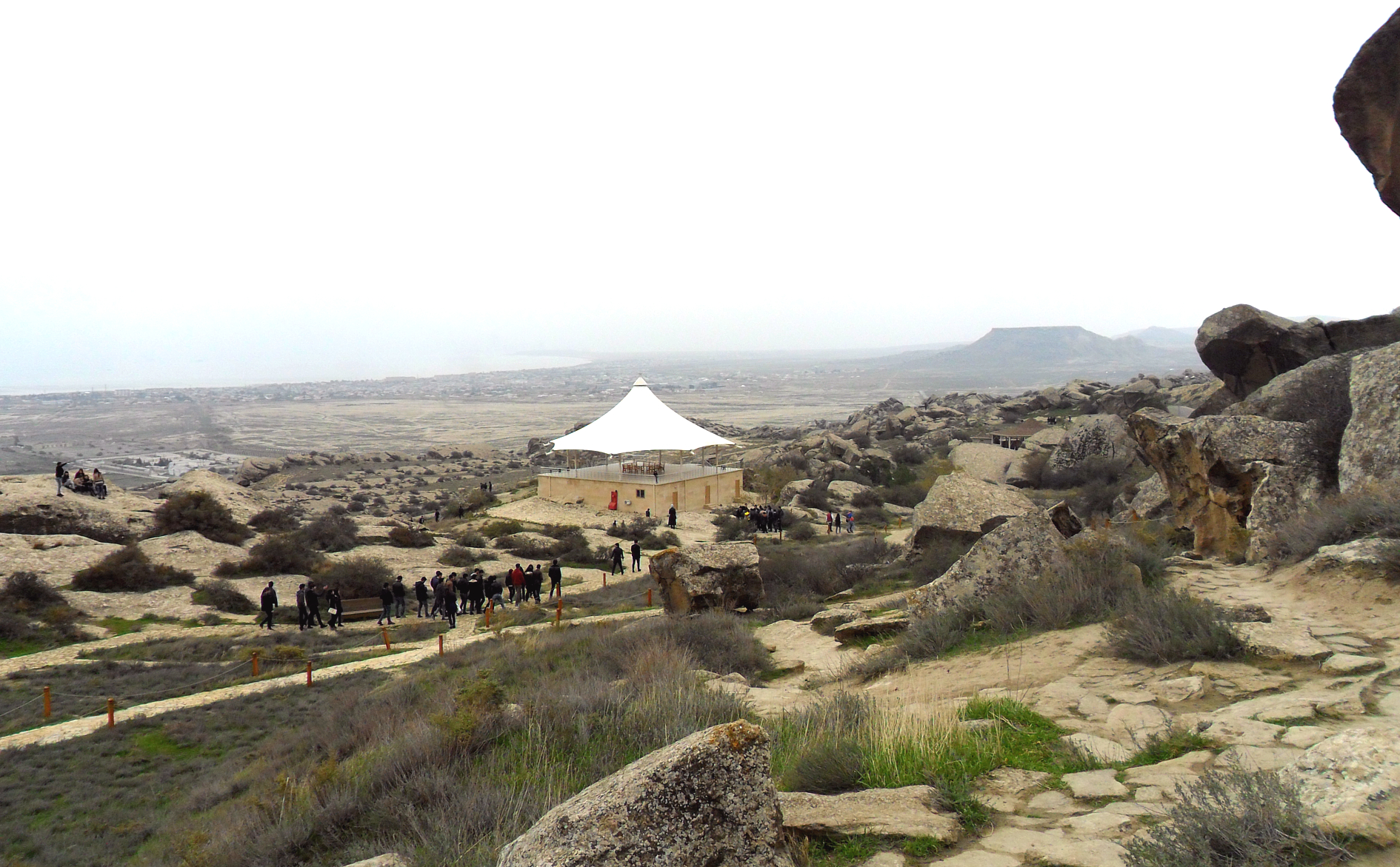
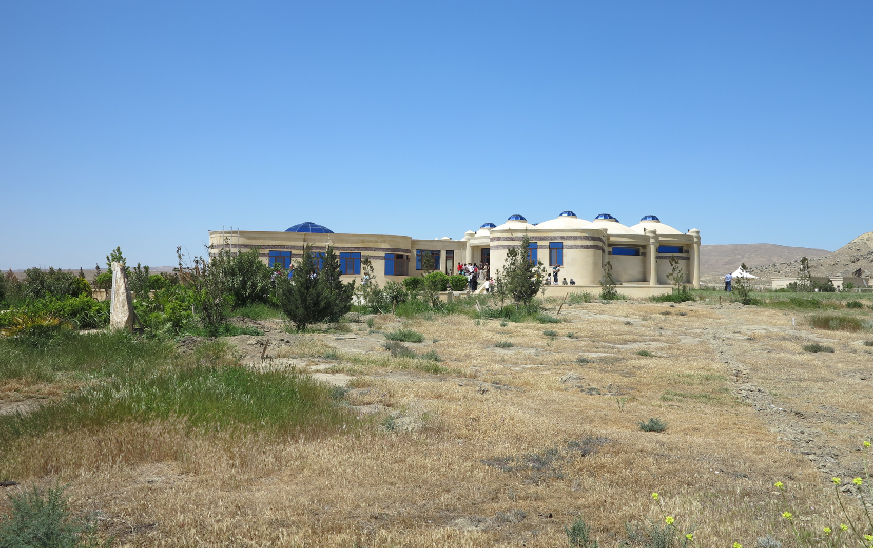
Place of location: Jinghindagh mountain –Yazylytepe hill, Boyukdash mountain and Kichikdash mountain, Baku
Village/Town: Gobustan
Municipality: Gobustan (Garadakh district)
Region: Baku
State: Azerbaijan
Telephone: (+994 12) 544 66 27
Website: http://gobustan-rockart.az/
E-mail: office@gobustan-rockart.az
Natural Environment:
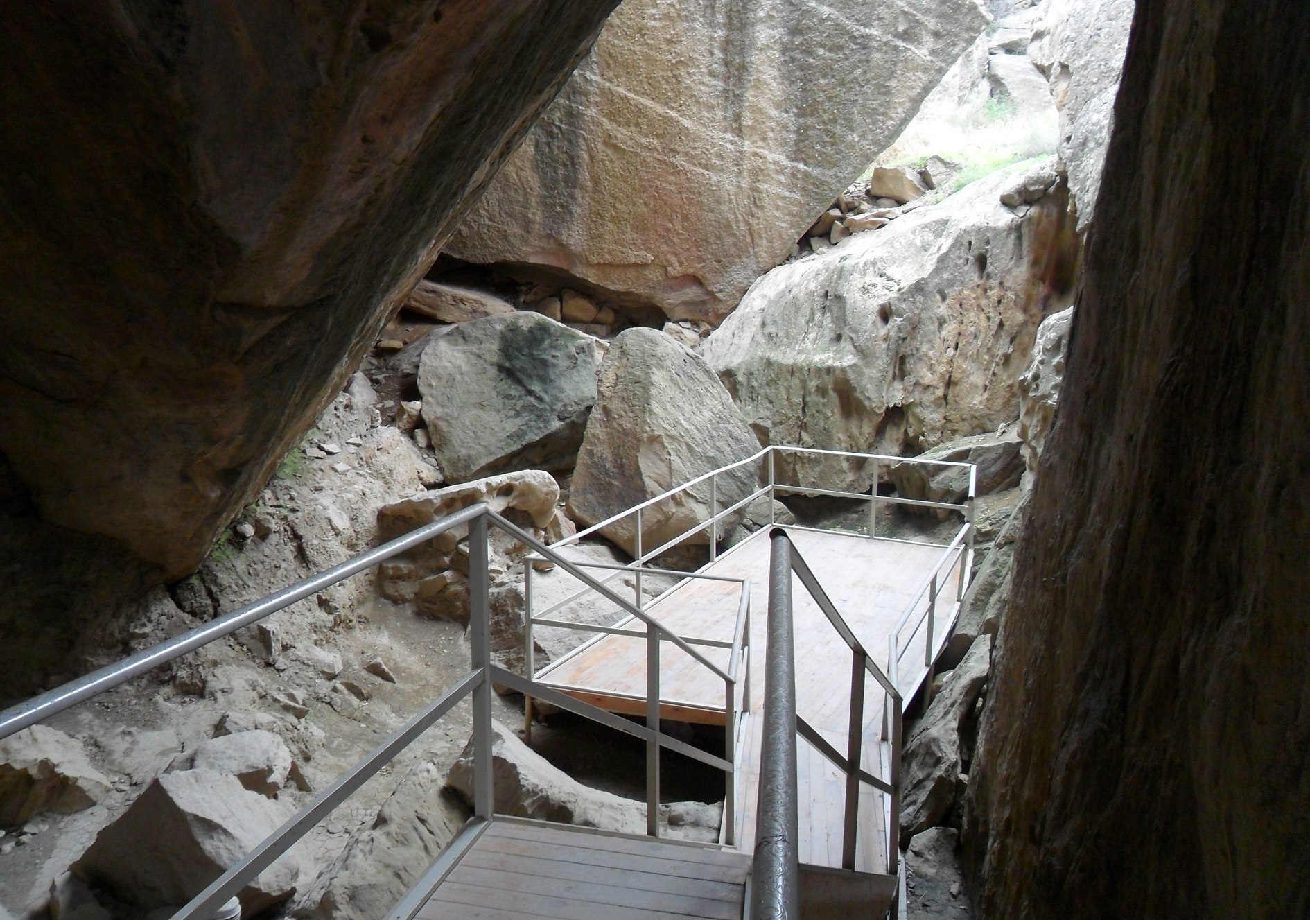
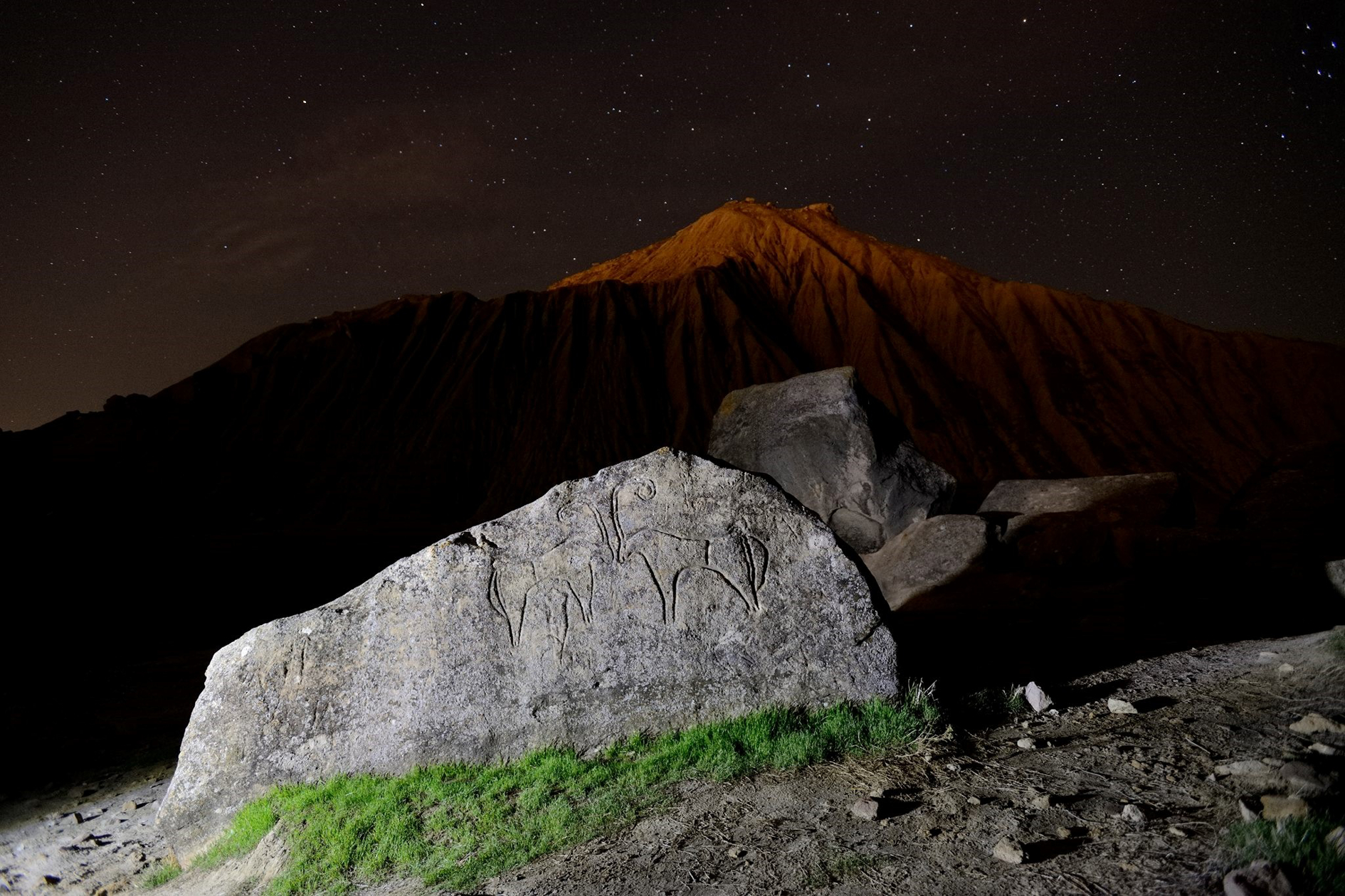
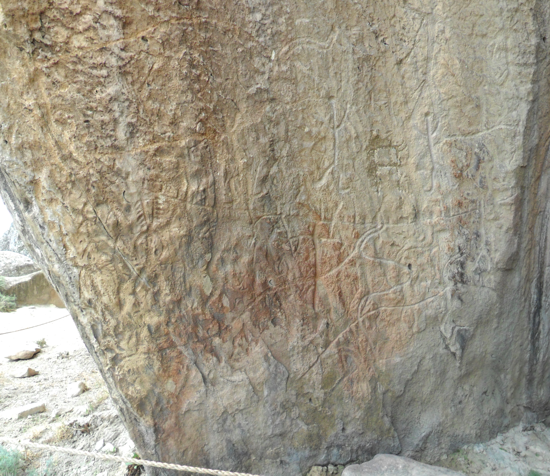
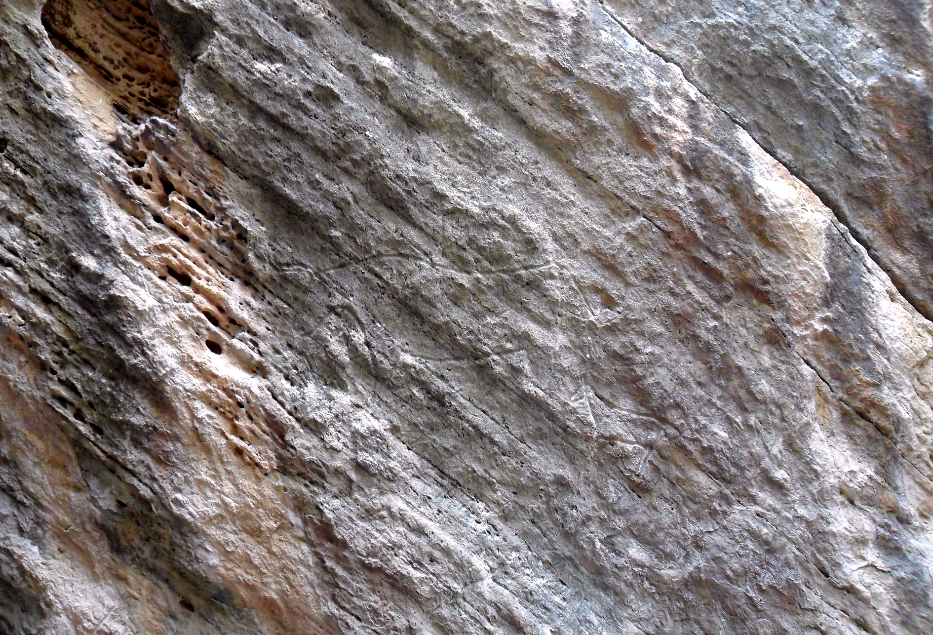
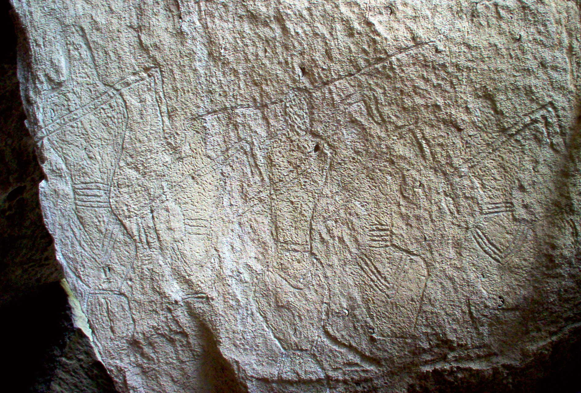
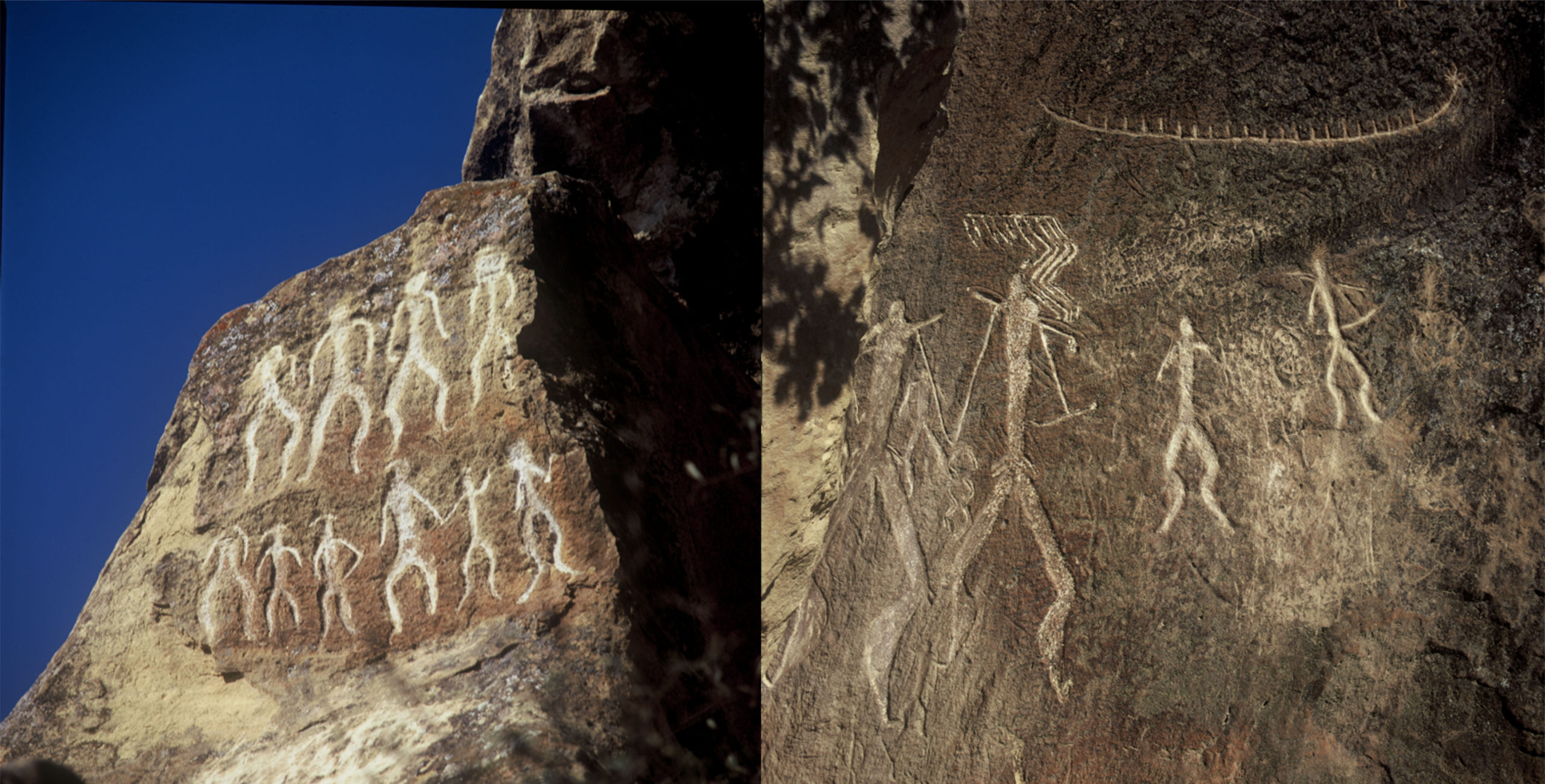
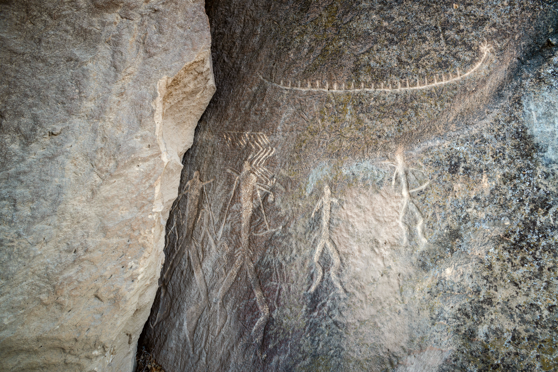
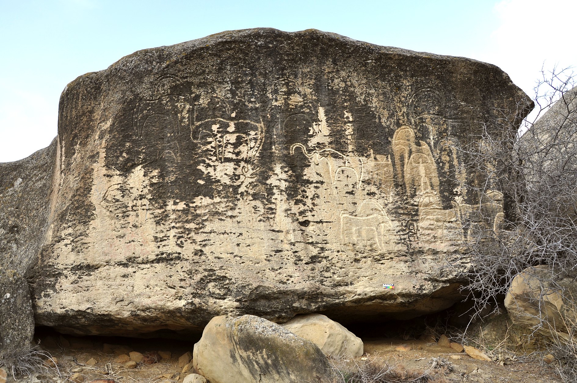
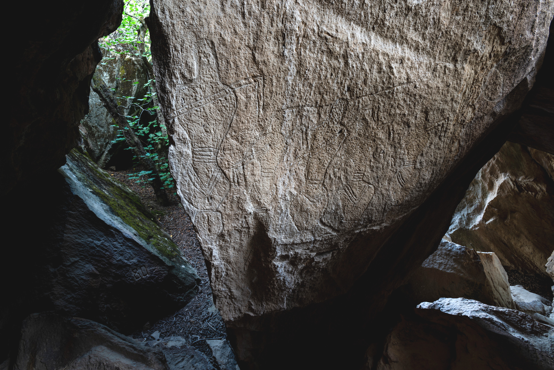
Gobustan as a geographical region in East Azerbaijan is a wide territory full of gorges and ravines located between the south-east foot of the Caucasus and the Caspian Sea, mainly in the basin of the Jeyrankechmaz river, between the middle and low arms of the Pirsaat and Sumgayit rivers. The word “Gobustan” itself means “land of ravines” or “ place of ravines”. There are caves formed by the limestones’ strata. On the inner and outer walls of these caves petroglyphs of people, animals, and various signs were engraved. It is here that the most interesting complex of samples of the ancient culture, petroglyphs, has been preserved.
Archaeological evidences in the site:
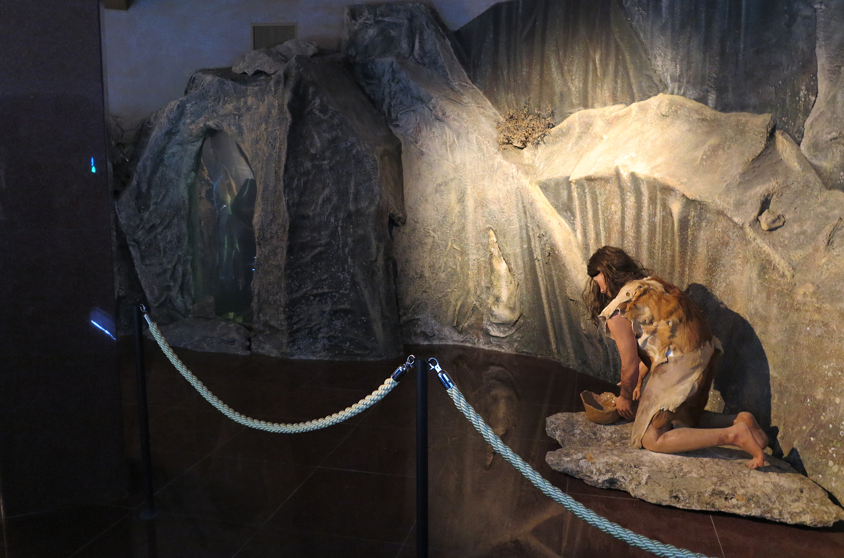
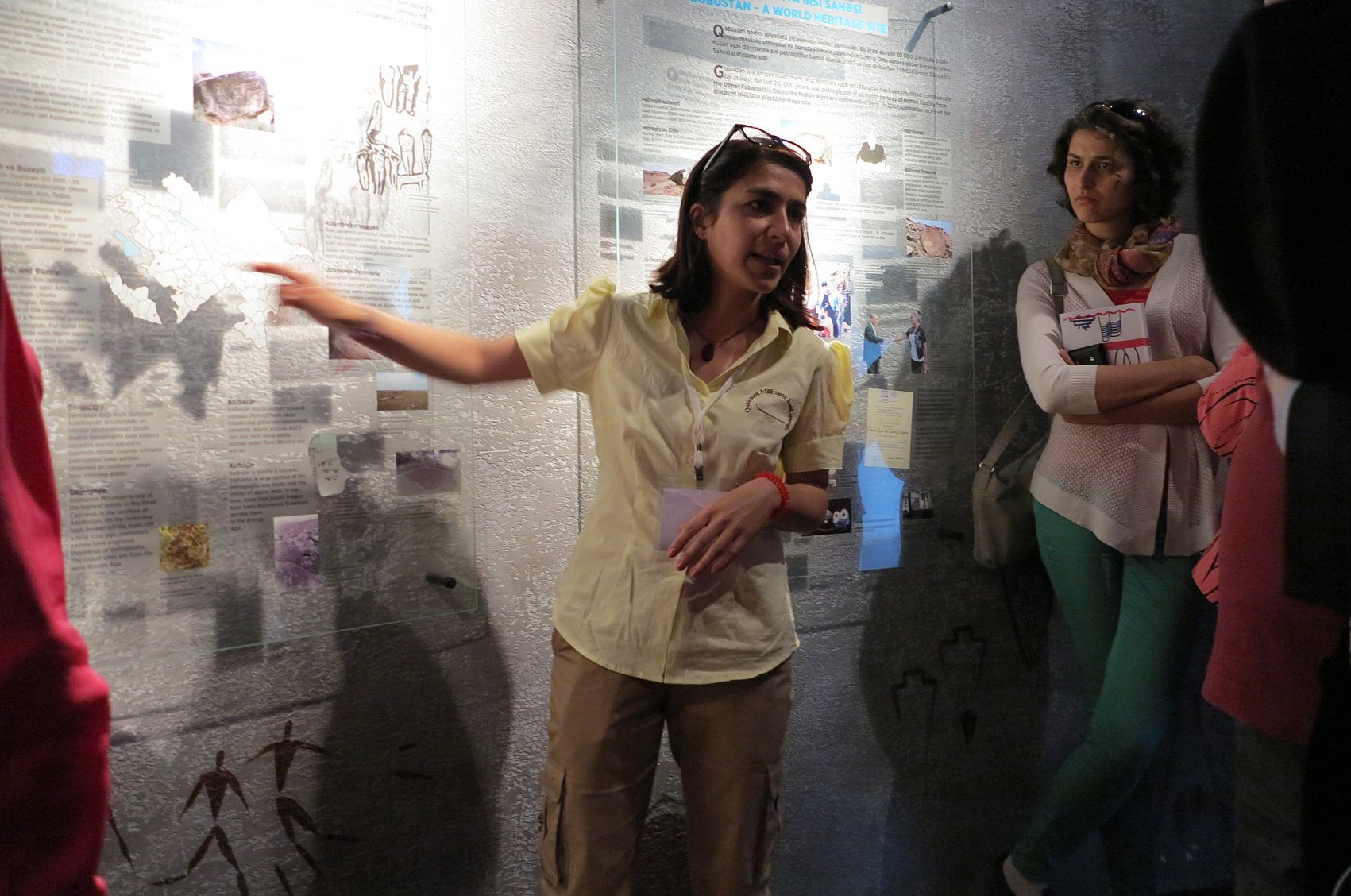
The archaeological Complex of Gobustan includes more than 6000 petroglyphs caves, ancient settlements, burial sites, holy sites-sanctuaries and plenty of caves and shelters of different periods as the evidence of 15 thousand years long successive usage of this place by people.