Type of site:
Municipal Archaeological park
Village/Town:
Municipality: (Brescia)
Region: Lombardía
State: Italy
Telephone: (+39) 036442001
Website: https://www.parcoseradinabedolina.it/
E-mail: info@comune.capo-di-ponte.bs.it
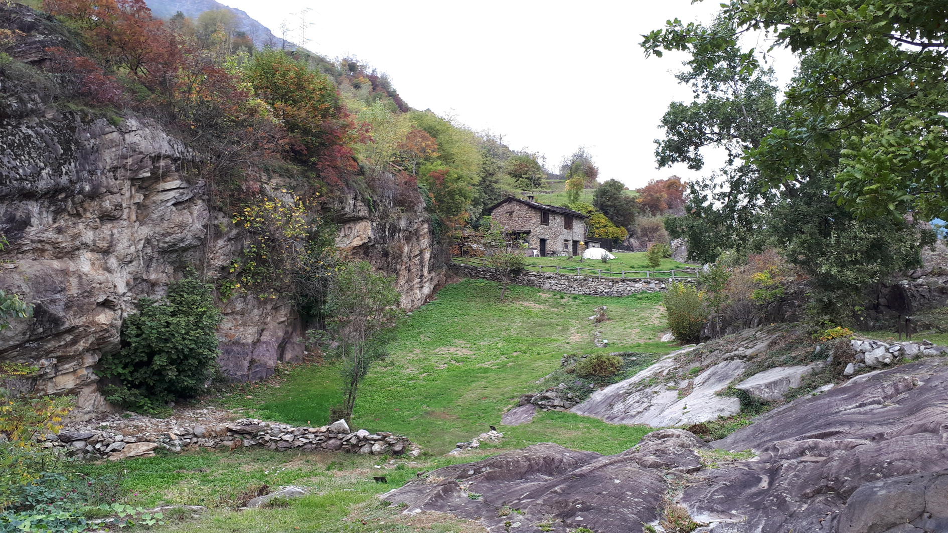
Natural Environment:


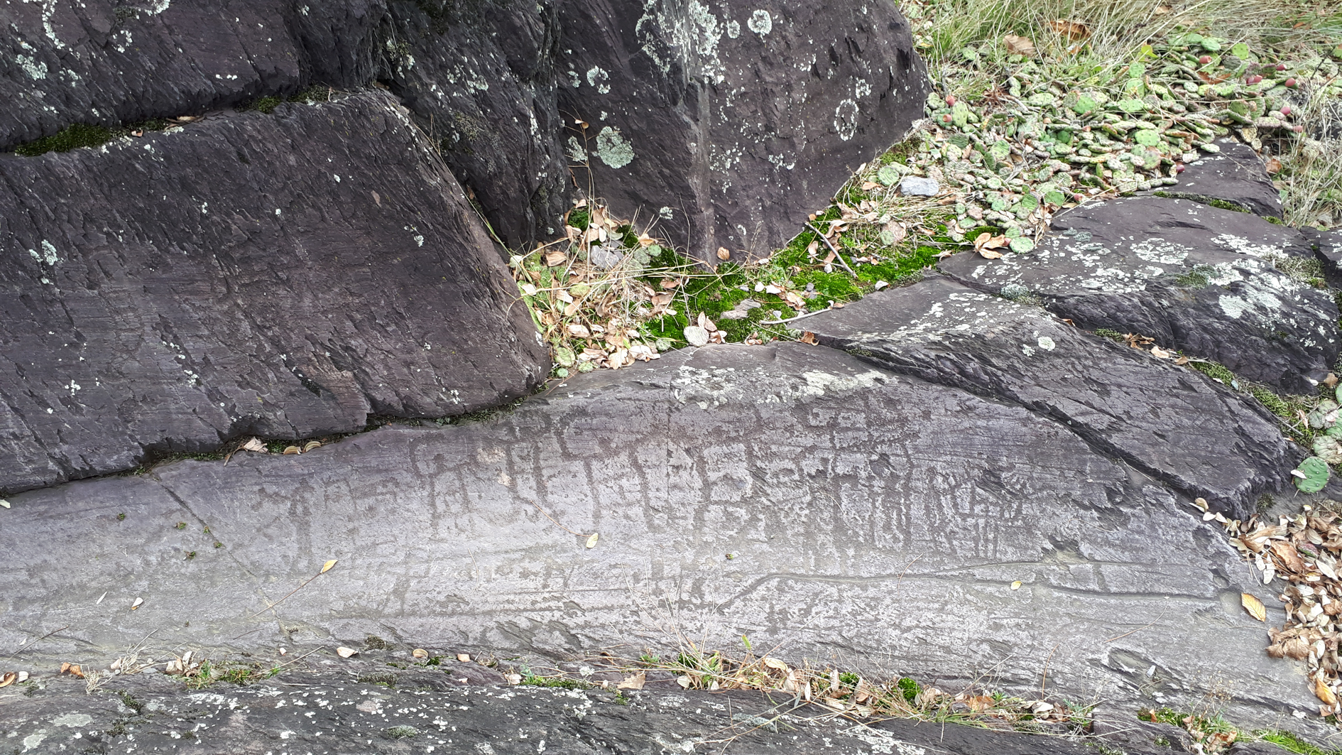
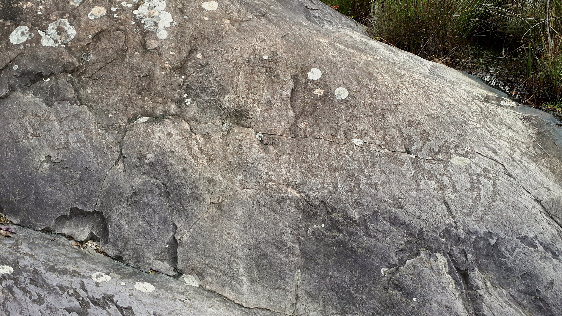
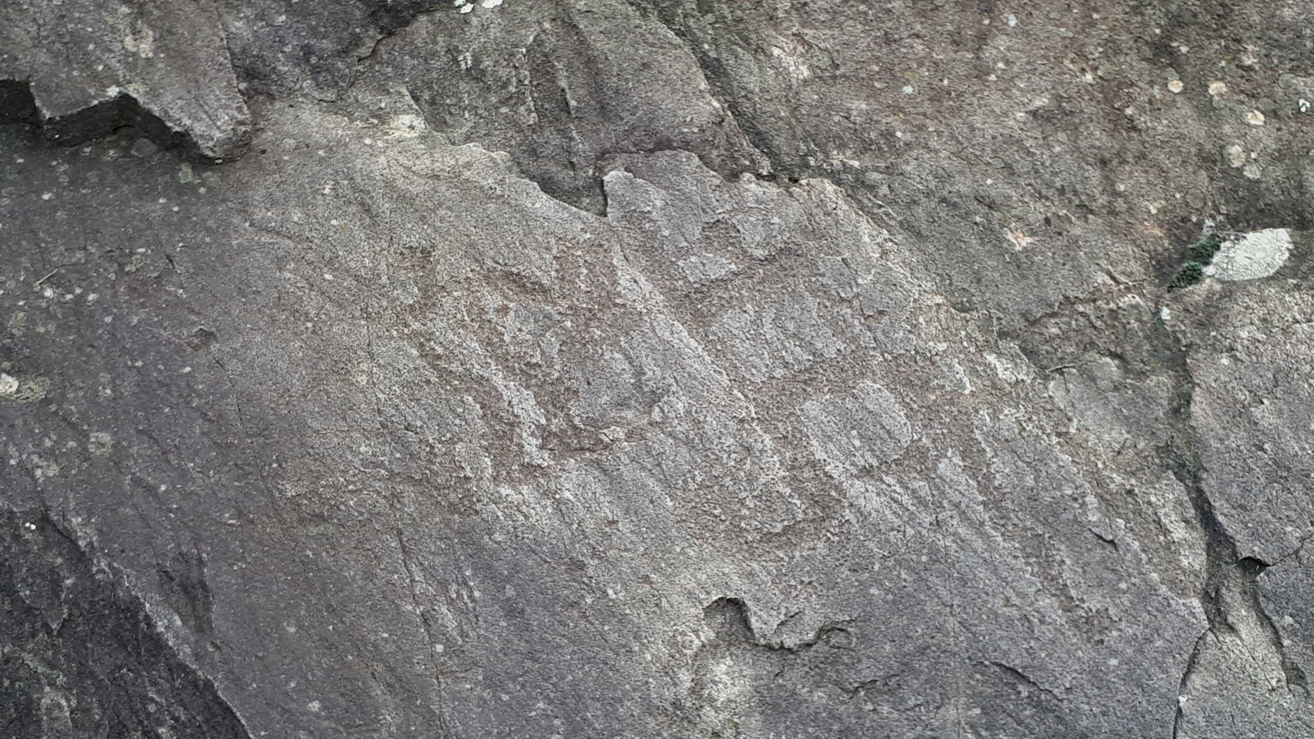
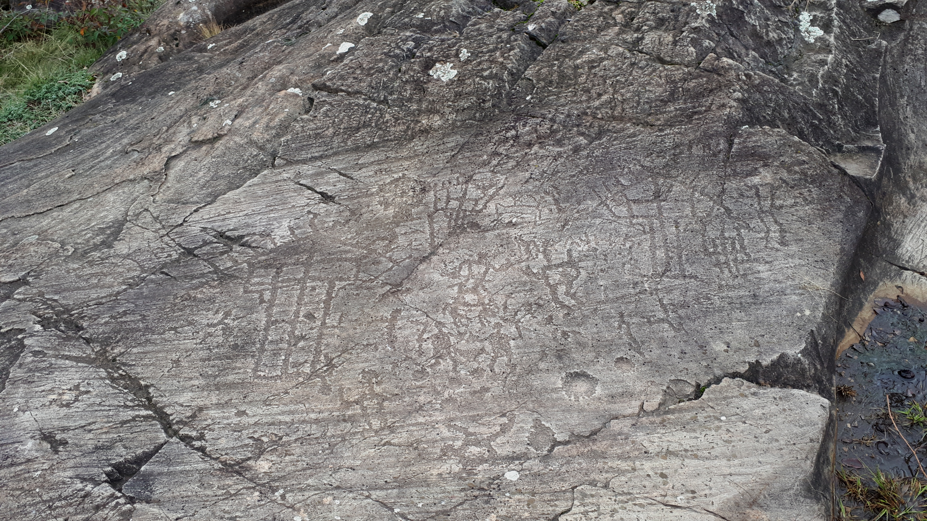
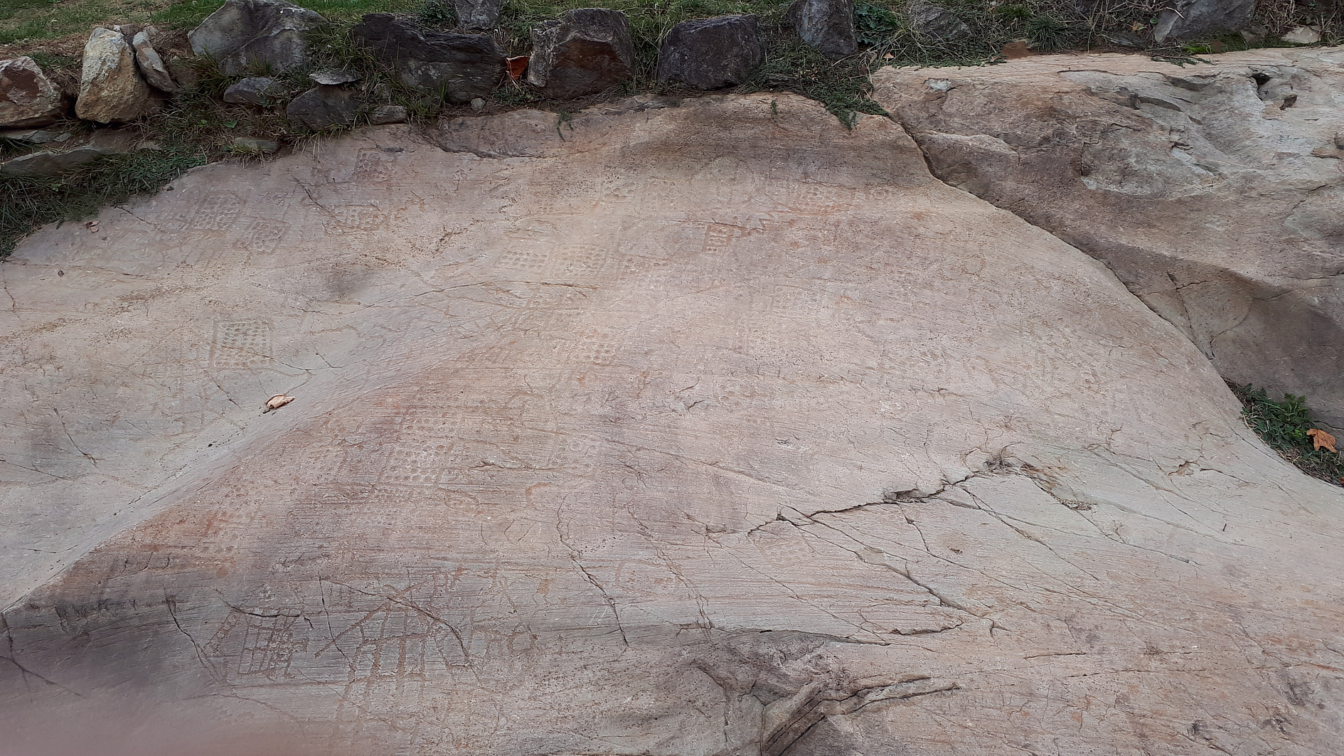
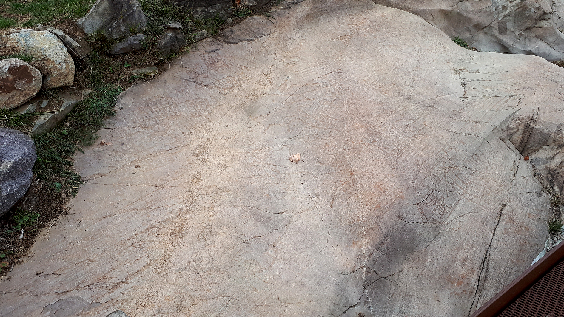
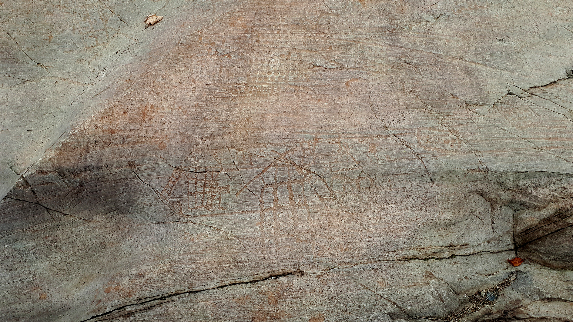
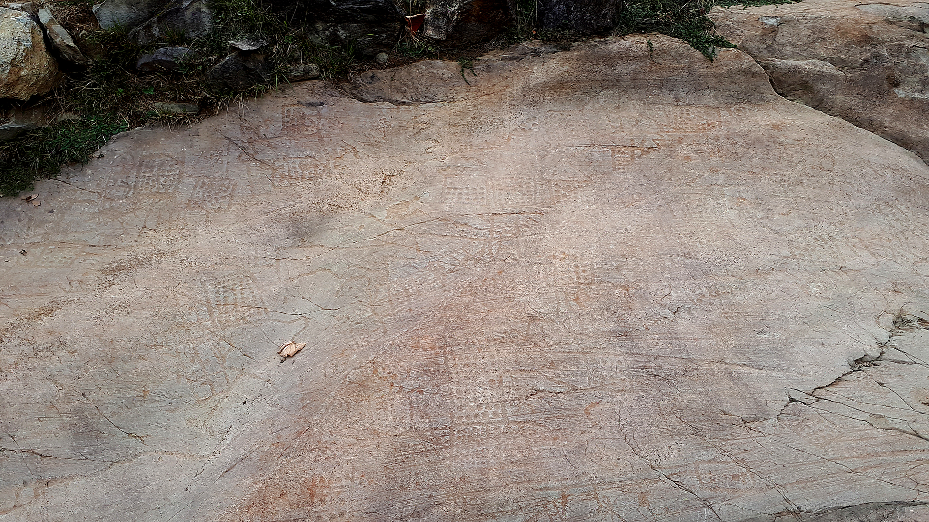
The engravings can be mostly dated back to Bronze and Iron Age
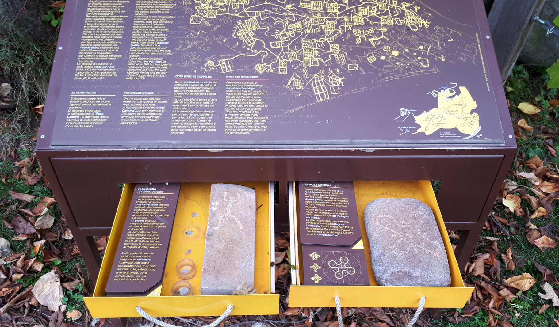
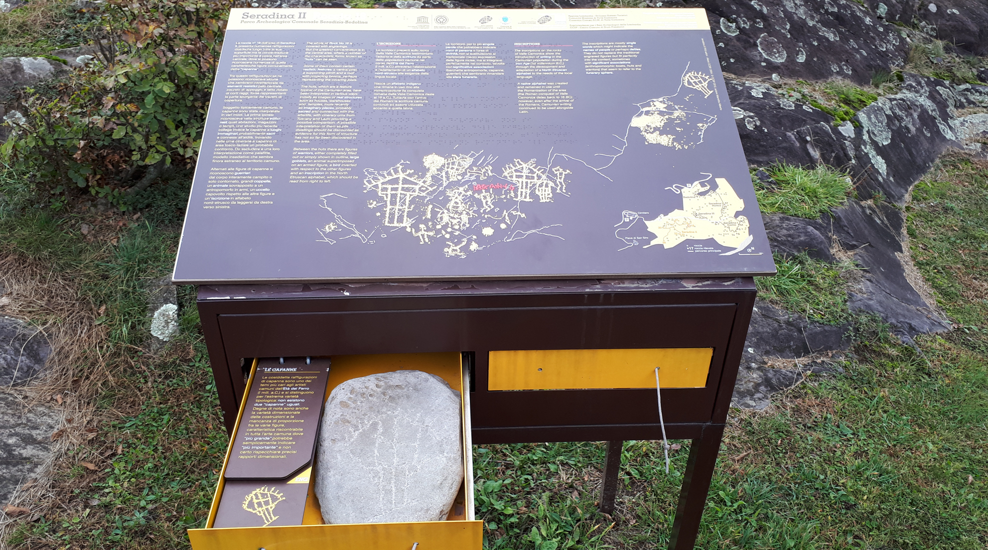
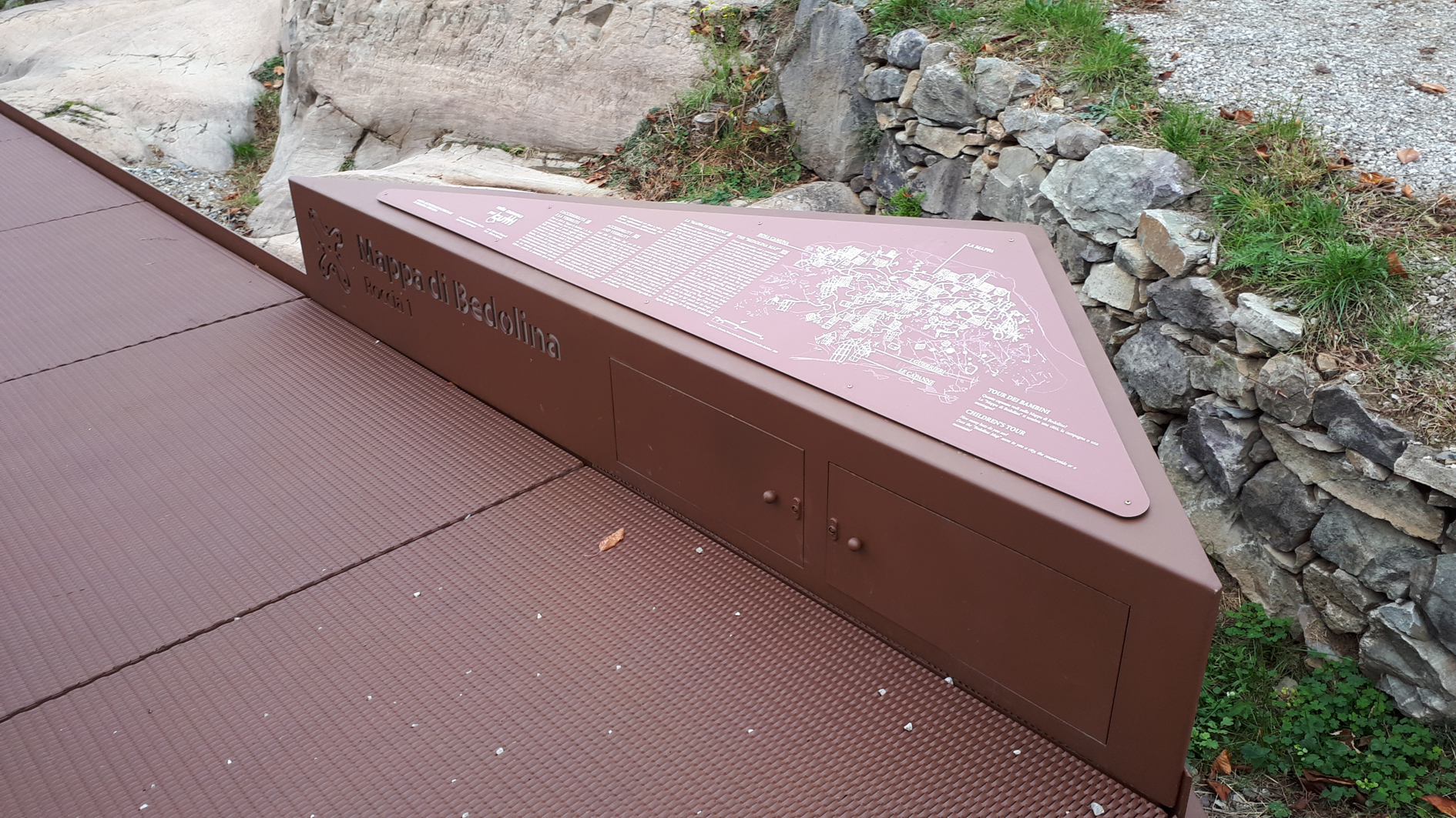
The Municipal Archaeological Park of Seradina-Bedolina , set little northern from the National Archaeological Park of Massi di Cemmo, includes the localities of Seradina I,II,III, Corno di Seradina and Bedolina : the engravings can be mostly dated back to Bronze and Iron Age, and offer to the visitor a wide range of representations, among which the most typical themes are “maps” and ploughing scenes. In the park, opened in 2005 and endowed with a ticket office and an information-point by the entrance of Seradina, have been organized five routes for the visit, each with its colour, equipped with didactic boards. The first itinerary you meet is the orange route (Seradina II) that crosses the whole area of Seradina and the second one is the Red route (Seradina I) at the northern extremity of the main route. At the end of the Red route we can direct us towards the area Ronco Felappi for whose visit is necessary to ask a guide at the entrance of the park. The main theme of the engravings of the area of Bedolina is surely the one of “topographical maps”, geometrical compositions in which have been recognized ancient divisions of the territory in fields.
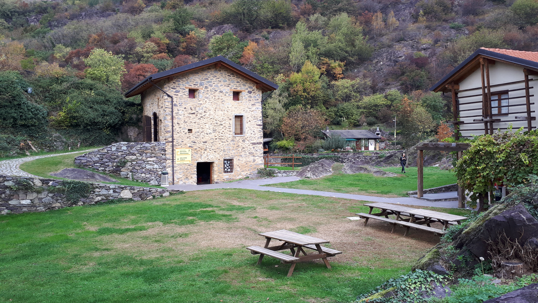
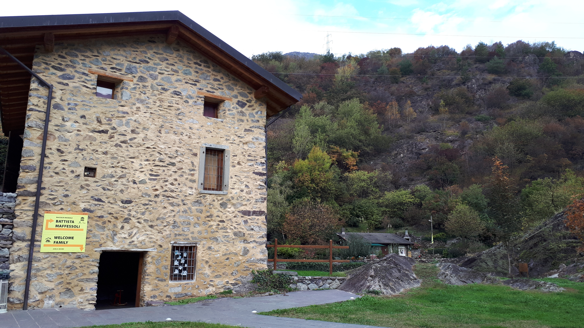
In a former farm there is a little interpretation centre where the visitor can develop some activities in summer. Didactic information panels are available in the main decorated rocks of the archaeological area.