


Type of site:
Rock-Shelters
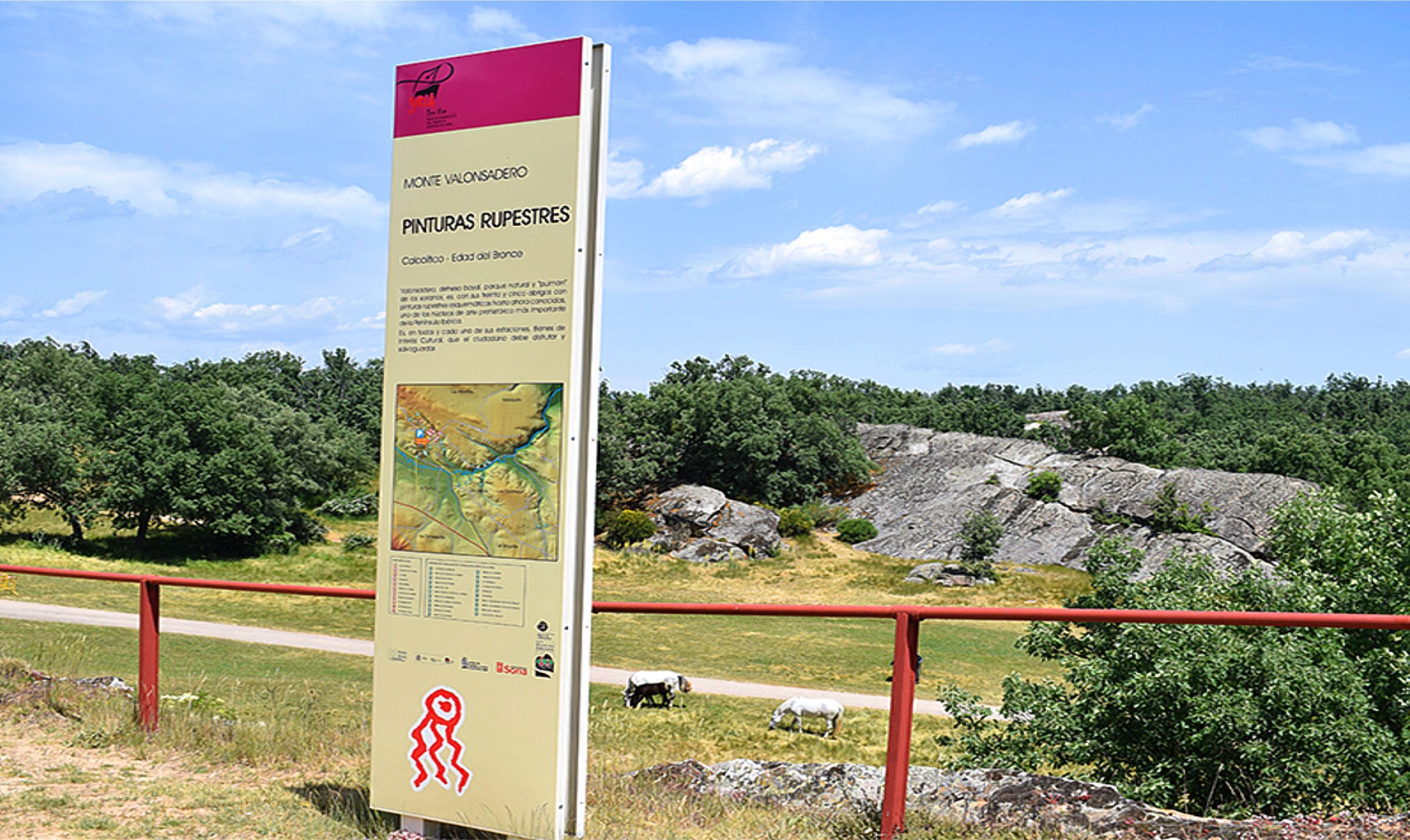
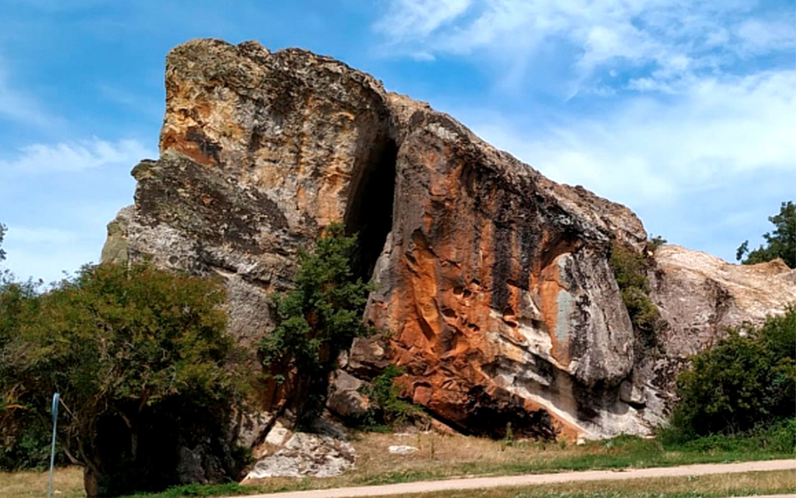
Place of location: Monte Valonsadero
Village/Town: Soria
Municipality: Soria (Soria)
Region: Castilla y León
State: Spain
Telephone: +34 975 212 052
Website: http://www.turismosoria.es/en/what-to-see/green-areas/mount-valonsadero/
E-mail: turismo@dipsoria.com
Natural Environment:
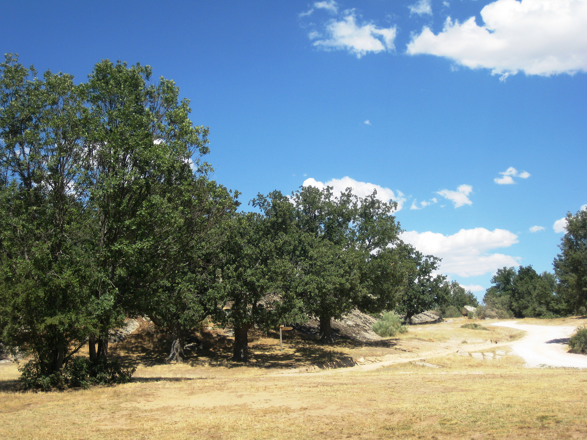
Valonsadero is placed in the Duero Valley, on the plain at the northern end of Sierra de Cabrejas, opposite Pico Frentes. Crosses by small valleys or gullies at the confluence of the Rivers Duero and Pedrajas, the predominant vegetation is oak woodland (Quercus pyrenaica) and grassland with sandstone outcrops. Monte Valonsadero has almost 2800 ha. with oak areas, pines, and fertile meadows for the cattle. Limited on the North by the river Duero. Overlooked by the summit of Pico Frentes and characterised by gentle autumns, colourful springs and festivities of sun, wine and bulls. It has fauna, botany, culture and geology that make it an exceptional place.
Archaeological evidences in the site:
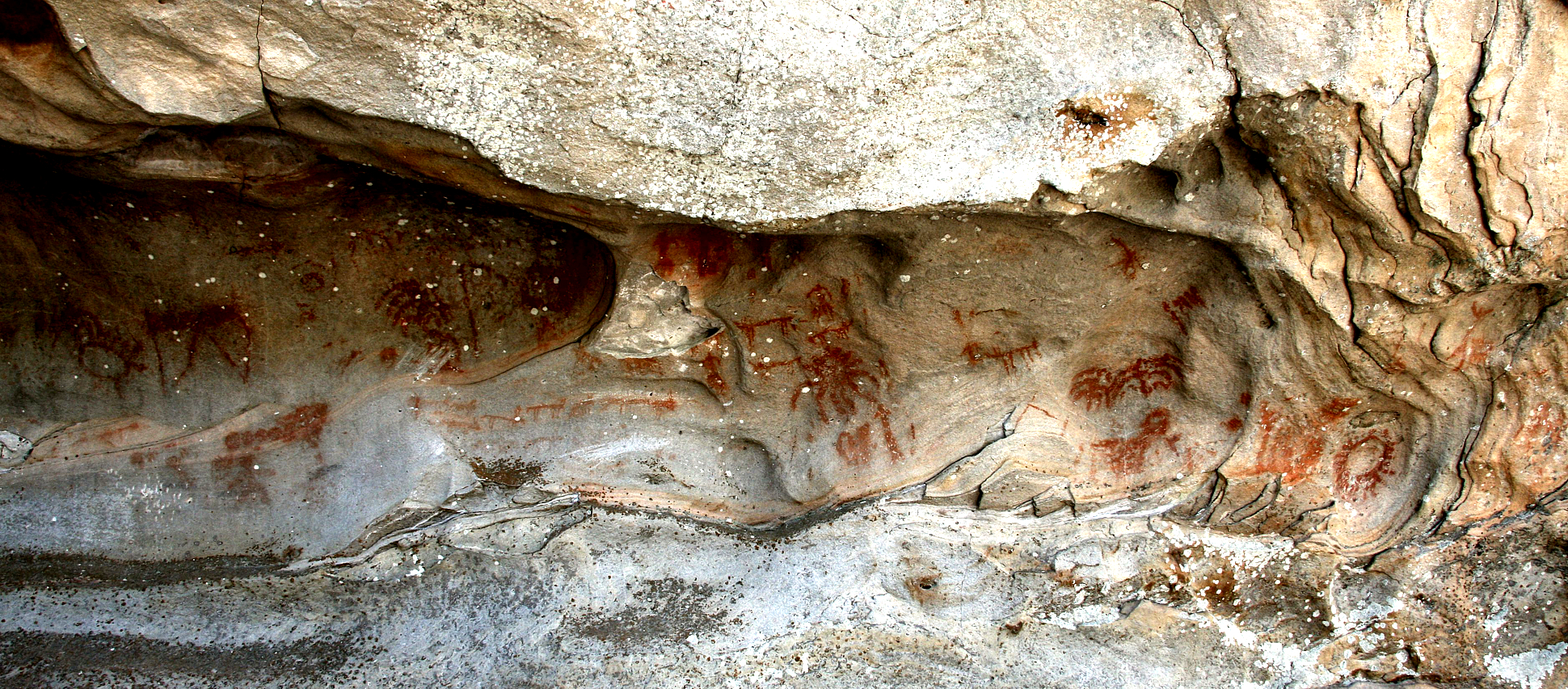
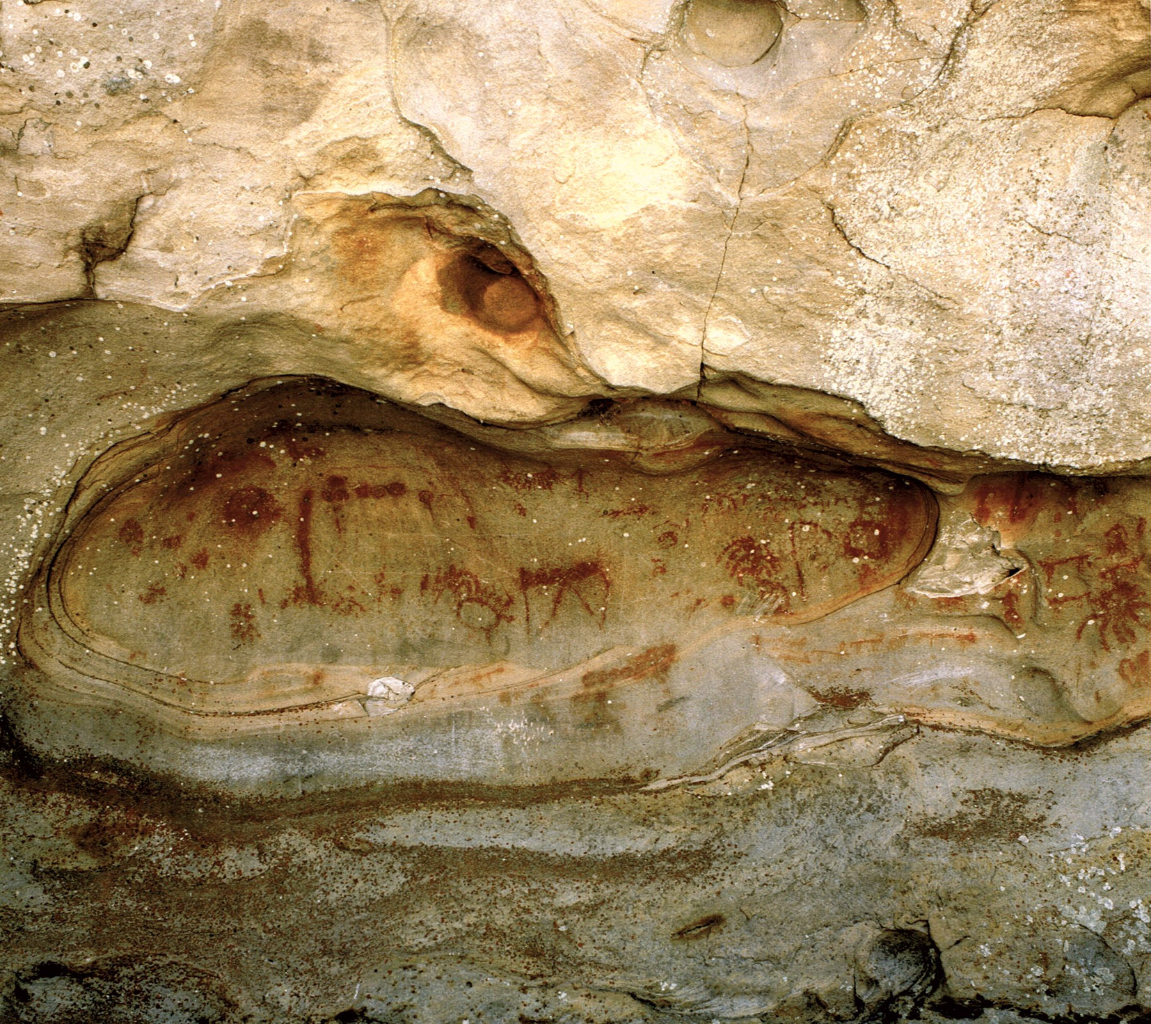
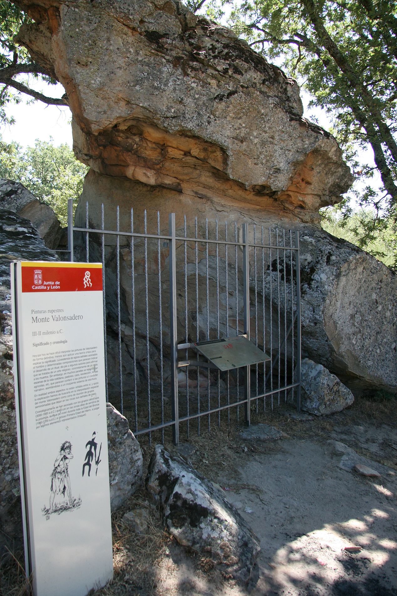
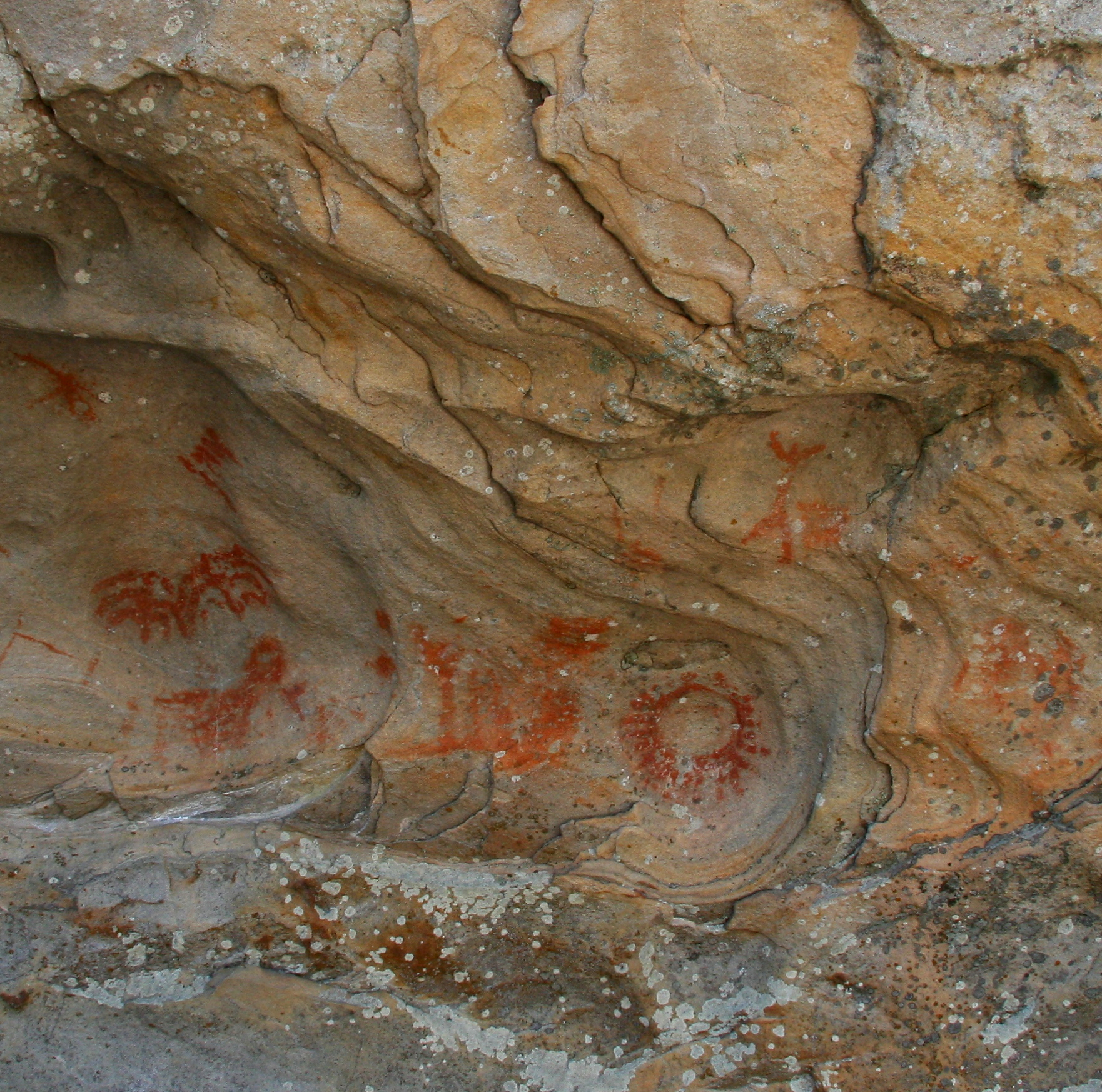
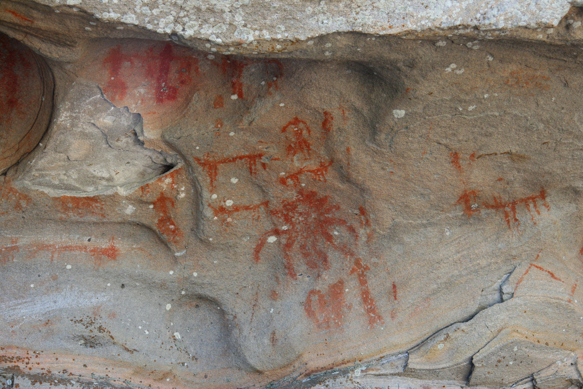
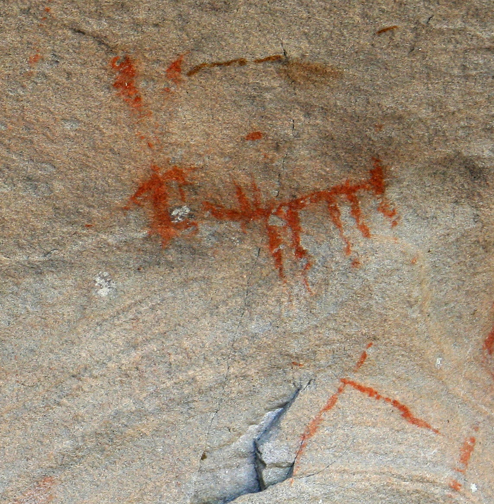
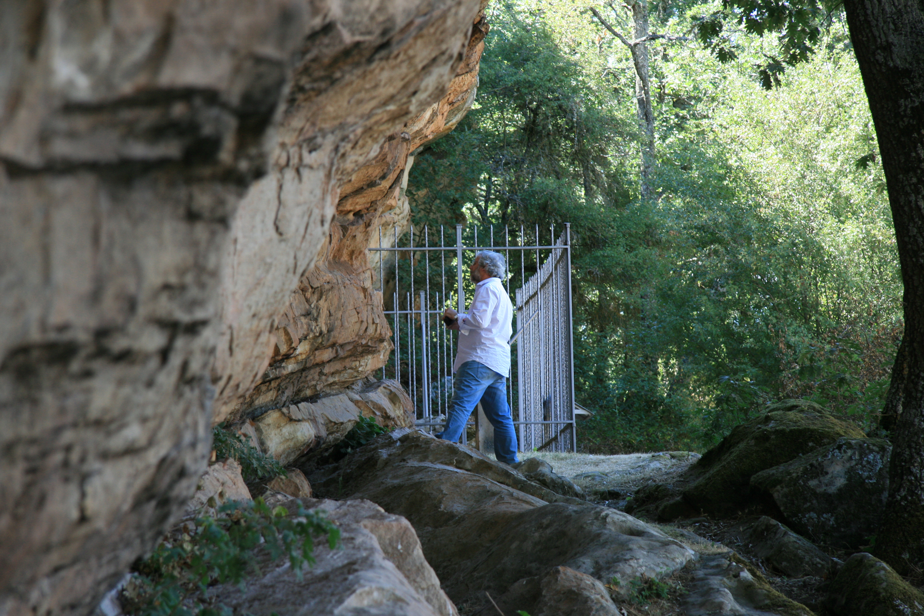
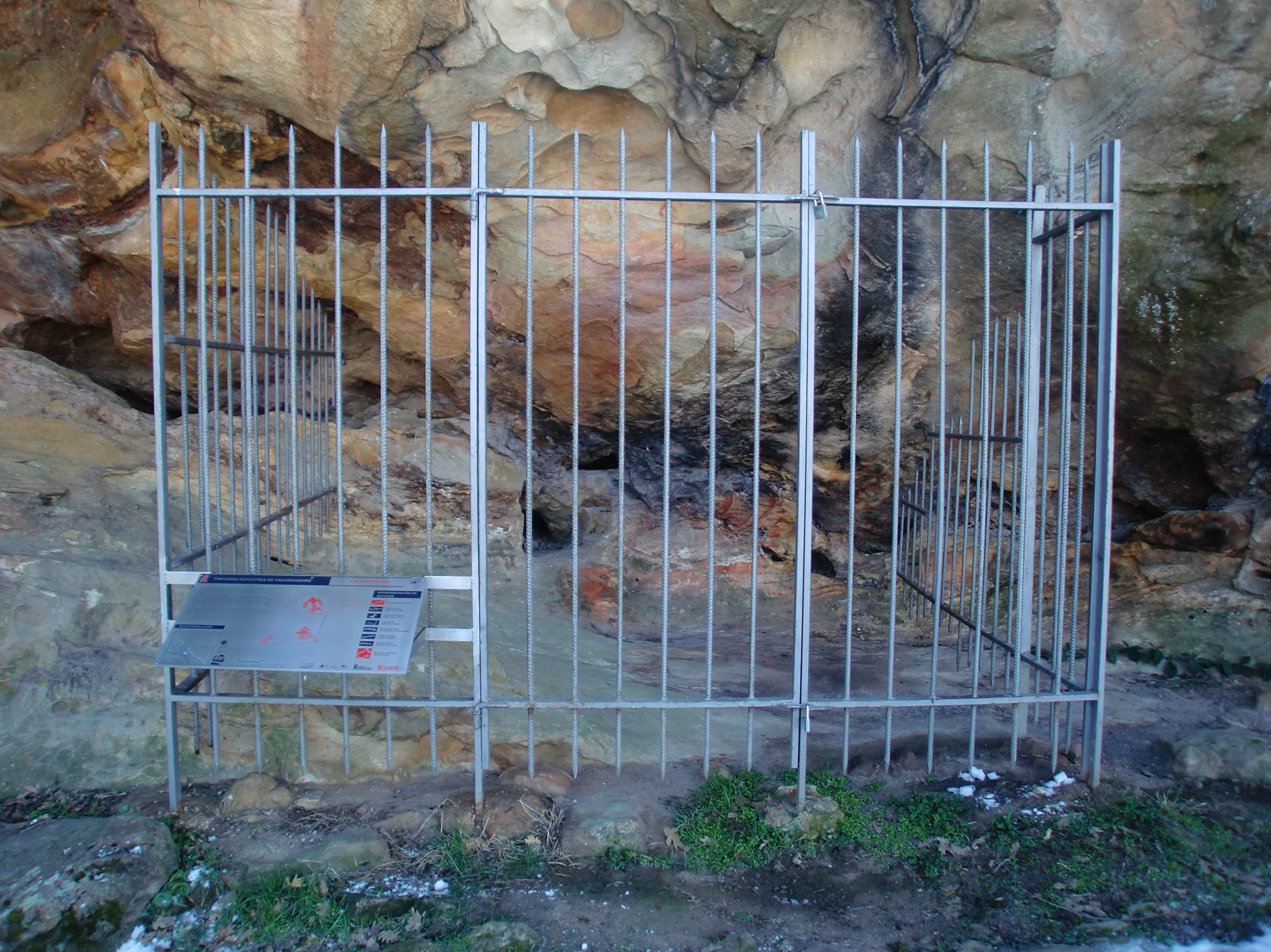
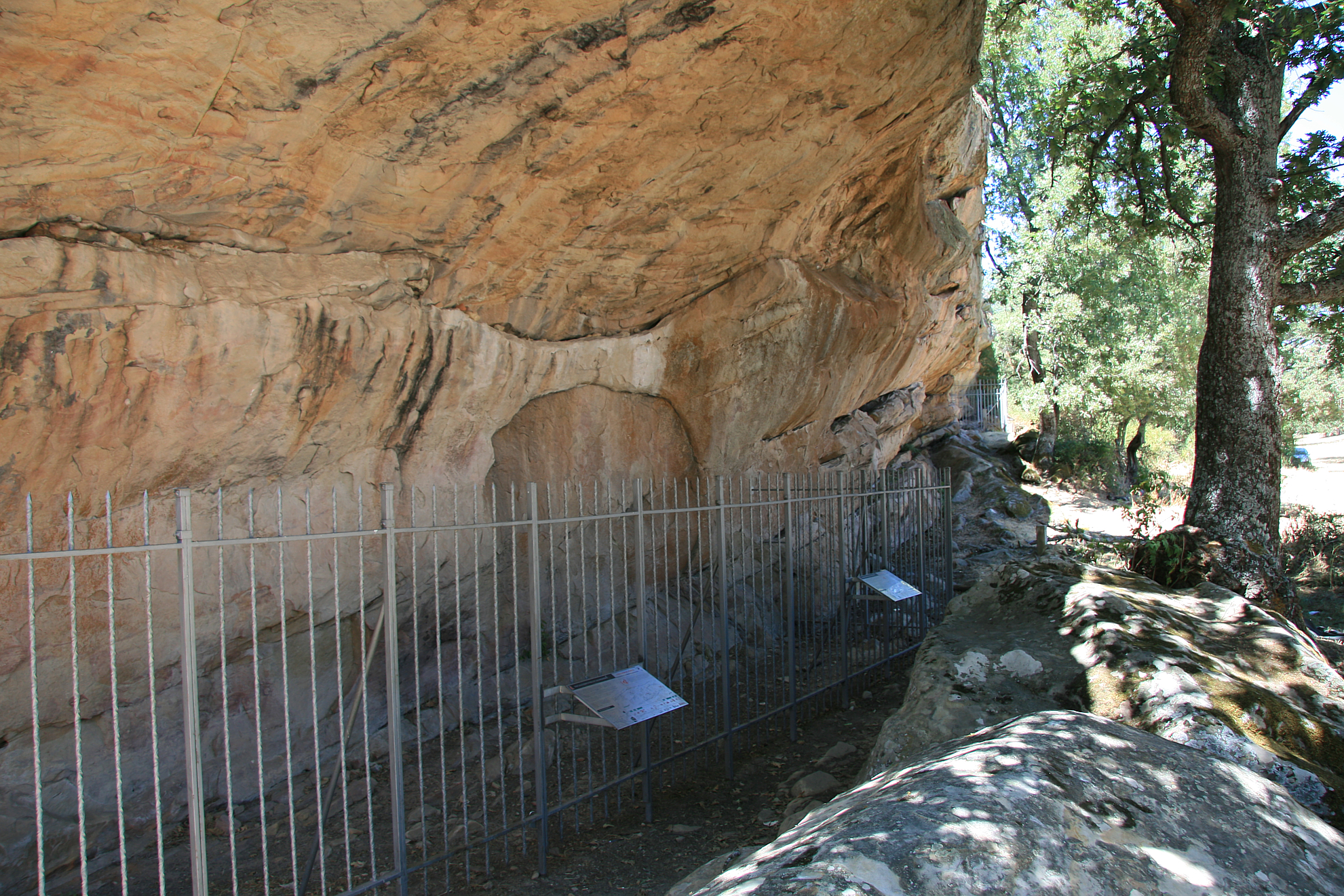
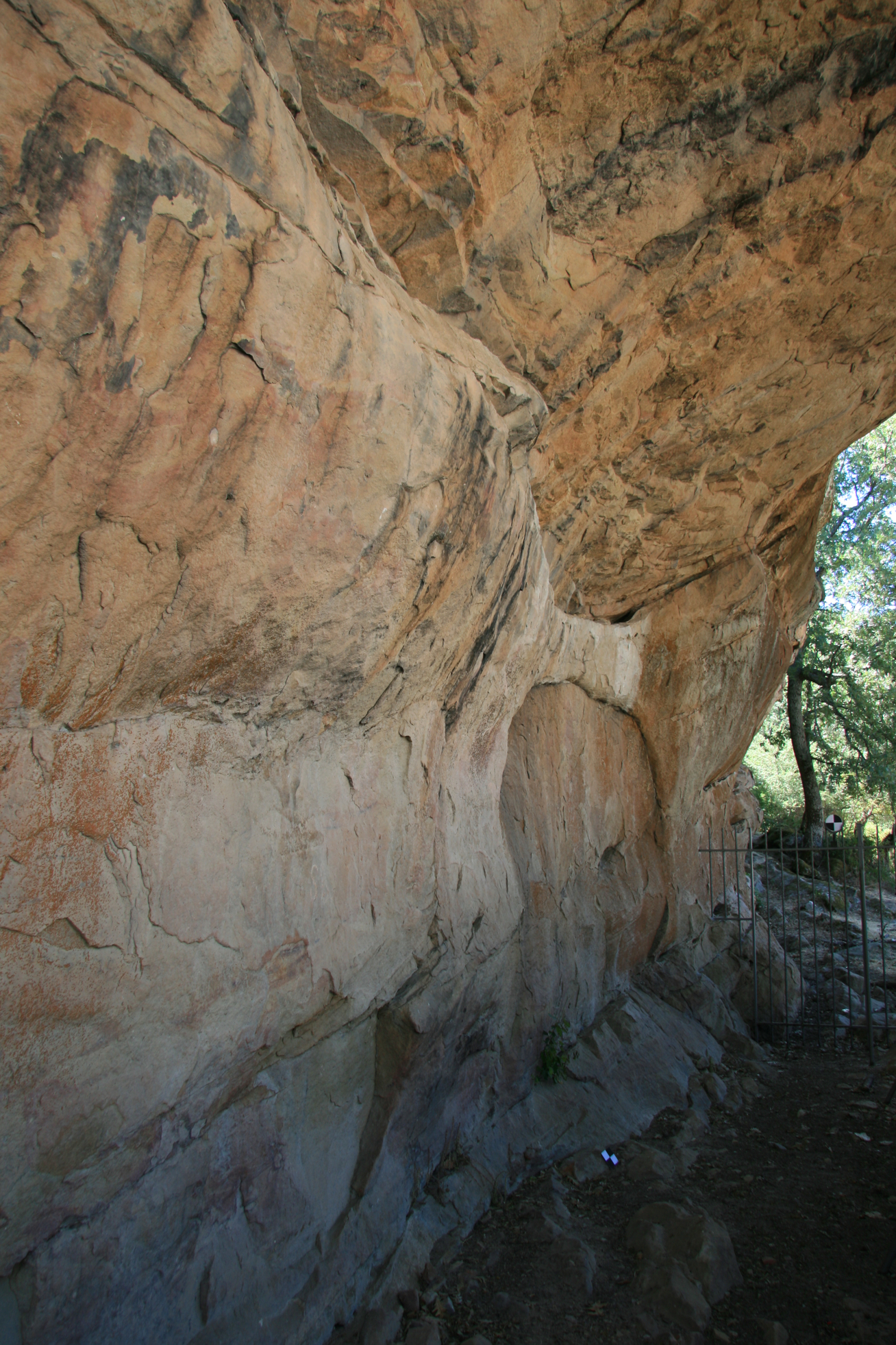
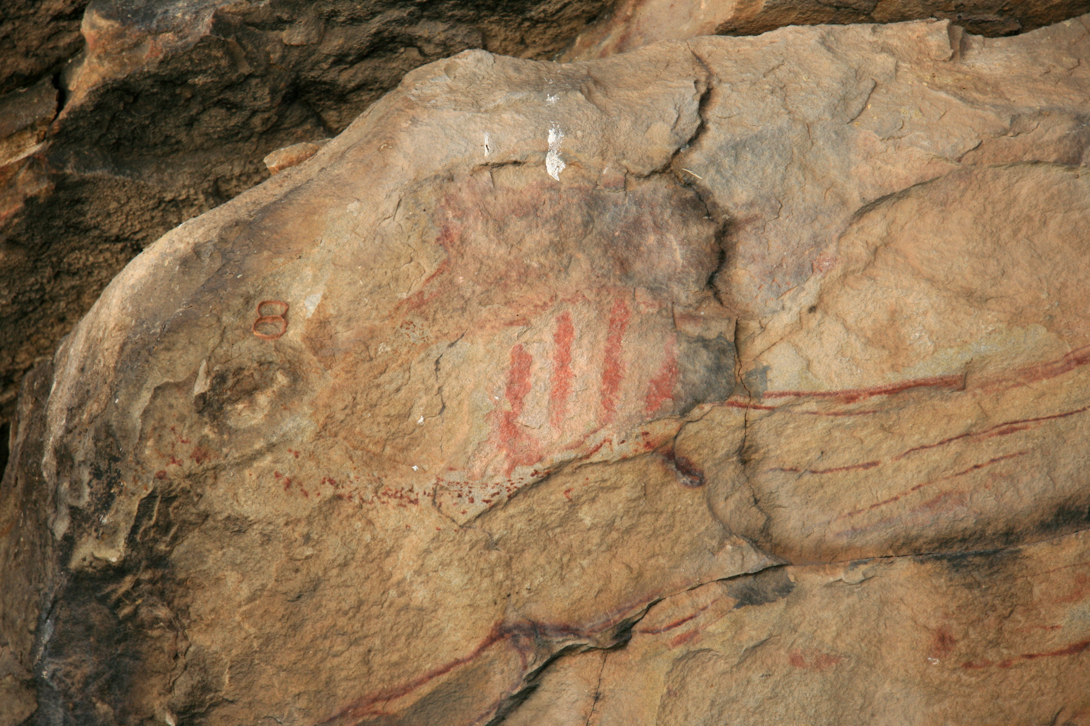
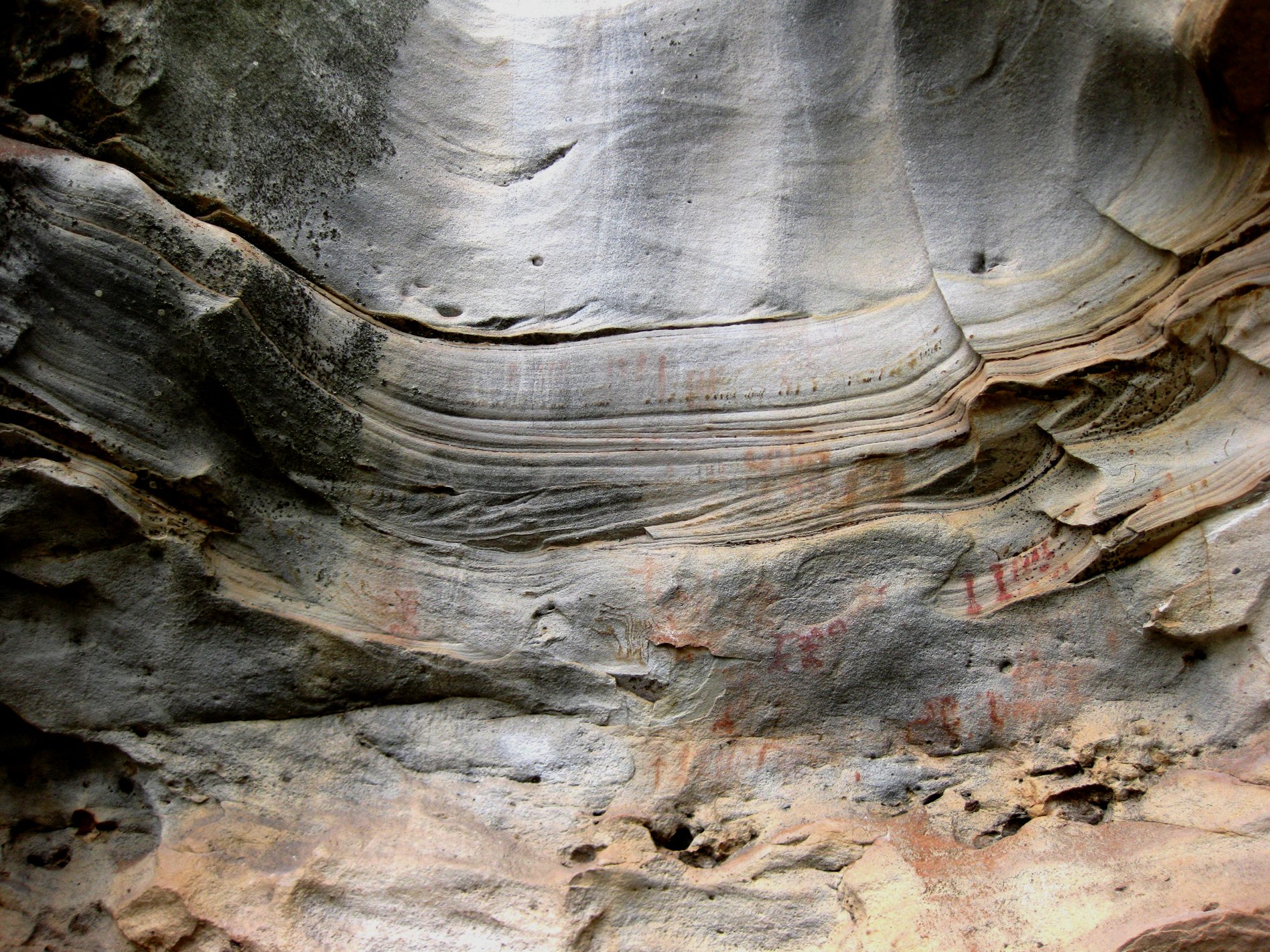
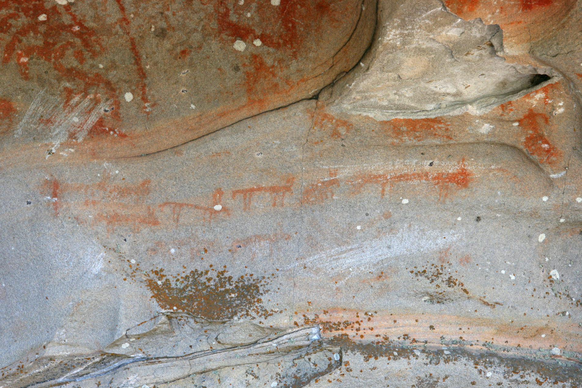
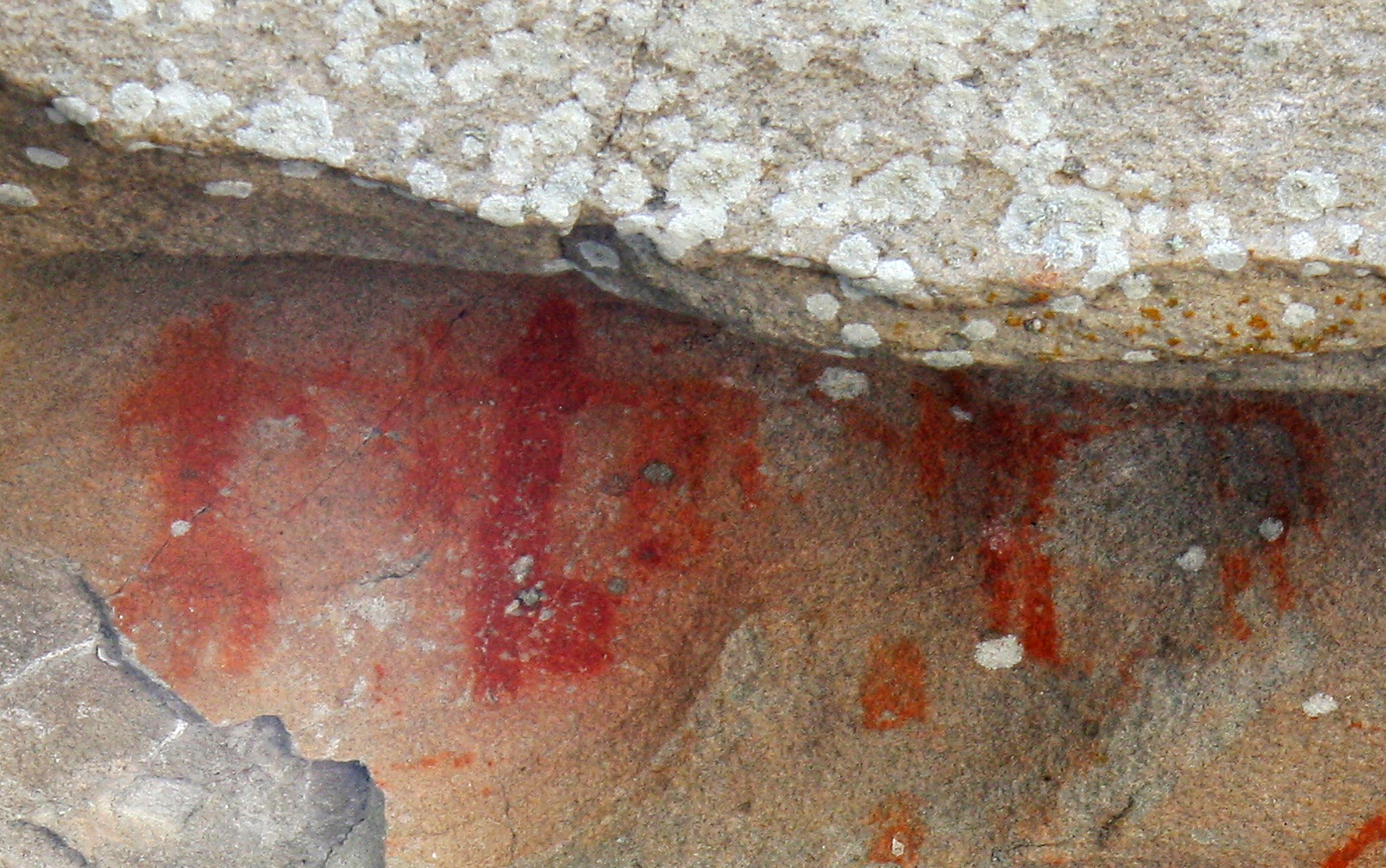
Located in the high Meseta of Soria, the site contains post-Palaeolithic Schematic art, which is found both in rock-shelters and in small hollows and caves. The representations at Monte Valonsadero are associated with nearby sites of the same type in neighbouring municipalities, like Prado de Santa Maria in Pedrajas, Cueva Larga and Cueva Grande in Oteruelos, and Peña los Plantíos in Fuentetoba. Monte Valonsadero is an important archaeological element in the landscape, associated to the geology, to the sandstone rock-shelters. This is the rock art expressions of the first farmers of the Prehistory that have been dated from the end the Neolithic period to the begin of the Bronze Age.